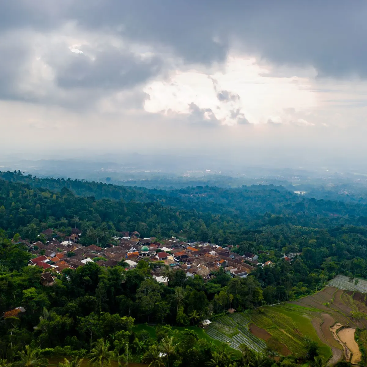
 Photo: Tom Fisk / Pexels
Cibinong
Cibinong accessibility for wheelchair users
Compare Cibinong by accessibility, transport, terrain, healthcare, cost, weather, laws, reviews, and community notes.
Cibinong accessibility scores
Compare Cibinong by accessibility, transport, terrain, healthcare, cost, weather, and laws. General stats use public data and models. Community rows reflect member reviews and votes.
General stats
National benchmarks and estimates — your experience in this city may differ.
Community
Starts from our estimate — thumbs up nudge toward Excellent, down toward Poor. Reviews use 1–5 stars.
These figures combine public statistics, models, and live weather where available. Every city is different — treat this as a guide, and share what you know in the Reviews & Corrections tab.
Profile last updated 7/1/2026.
Cibinong wheelchair accessibility guide
Research Cibinong for wheelchair users and caregivers: getting around, terrain, healthcare, costs, climate, accessible things to do, and practical caveats before booking.
Last updated 7/1/2026At a glance
Cibinong is the administrative centre of Bogor Regency in the Jakarta metropolitan area, south of Depok and near Jakarta’s wider services. For wheelchair users it has useful urban anchors—hospitals, malls, stadium-area roads, and science-campus destinations—but it is not easy terrain. The DB profile flags very hilly surroundings and low-confidence pavement data, so choose accommodation and daily routes carefully.
Getting around
Cibinong is road-oriented, with regional travel tied to Bogor, Depok, and Jakarta. Rail and bus access may be possible in the wider metro area, but step-free reliability for a specific Cibinong trip was not verified here. For a wheelchair stay, arrange a driver or vehicle that can load the chair, then keep trips short and clustered. Traffic can be slow, so hospital and airport transfers need generous buffers.
Terrain & mobility
The DB terrain profile marks Cibinong as very hilly, with a high sampled grade and only 80% flat samples. Pavement information is low-confidence and shows mostly untagged ways plus asphalt, concrete, and paving stones. In practice, expect driveway slopes, drainage channels, broken sidewalks, and traffic-edge rolling. Power chairs will cope better than manual chairs, but rain can make steep approaches harder.
Healthcare & care
The healthcare profile lists RS Annisa in Cibinong and several hospital or clinic leads toward Depok and surrounding districts. These are OSM leads, so confirm current emergency capability, entry ramps, lift access, and whether staff can accommodate transfers. For complex specialist care, Jakarta or Bogor may offer broader options, but travel time and accessible transport must be planned.
Costs & housing
The database estimate is **from ~$1,628/mo**, with housing around $524. Low cost is the attraction, but accessible housing quality is uncertain. Prioritize modern serviced apartments or hotels with lifts, no steep parking ramp to lobby, roll-in or low-threshold shower photos, and reliable air-conditioning.
Climate & comfort
Cibinong is hot, humid, and rainy. Drainage, covered entrances, and indoor cooling matter daily. Wet paving stones, ramps, and roadside edges can be slippery; schedule outdoor moves around heavy rain and protect electronics and cushions.
Accessible things to do
Cibinong Science Center / BRIN area— A major local institutional campus; verify visitor access, ramps, and drop-off points before going.
Pakansari Stadium precinct— A broad-road landmark area that may be easier for exterior rolling than dense market streets; confirm event access if attending.
Cibinong City Mall or major mall routes— Malls are often the most predictable indoor option for lifts, toilets, food, and cooling; check current facilities.
Rawa Siradayah / swamp-forest area— A nature lead mentioned in public city sources; treat it as assistance-required unless path surfaces and weather are confirmed.
Community & language
Indonesian is the working language. English may be available in some hotels, malls, or hospitals, but not consistently with drivers or landlords. Written address cards and WhatsApp-based coordination are useful.
Would we recommend it?
Maybe as a low-cost Jakarta-region base with a driver and strong local support. For independent wheelchair travel, Cibinong’s hills, rain, and uncertain pavements make nearby flatter or more transit-connected districts easier.
These figures combine public statistics, models, and live weather where available. Every city is different — treat this as a guide, and share what you know in the Reviews & Corrections tab.
Profile last updated 7/1/2026.