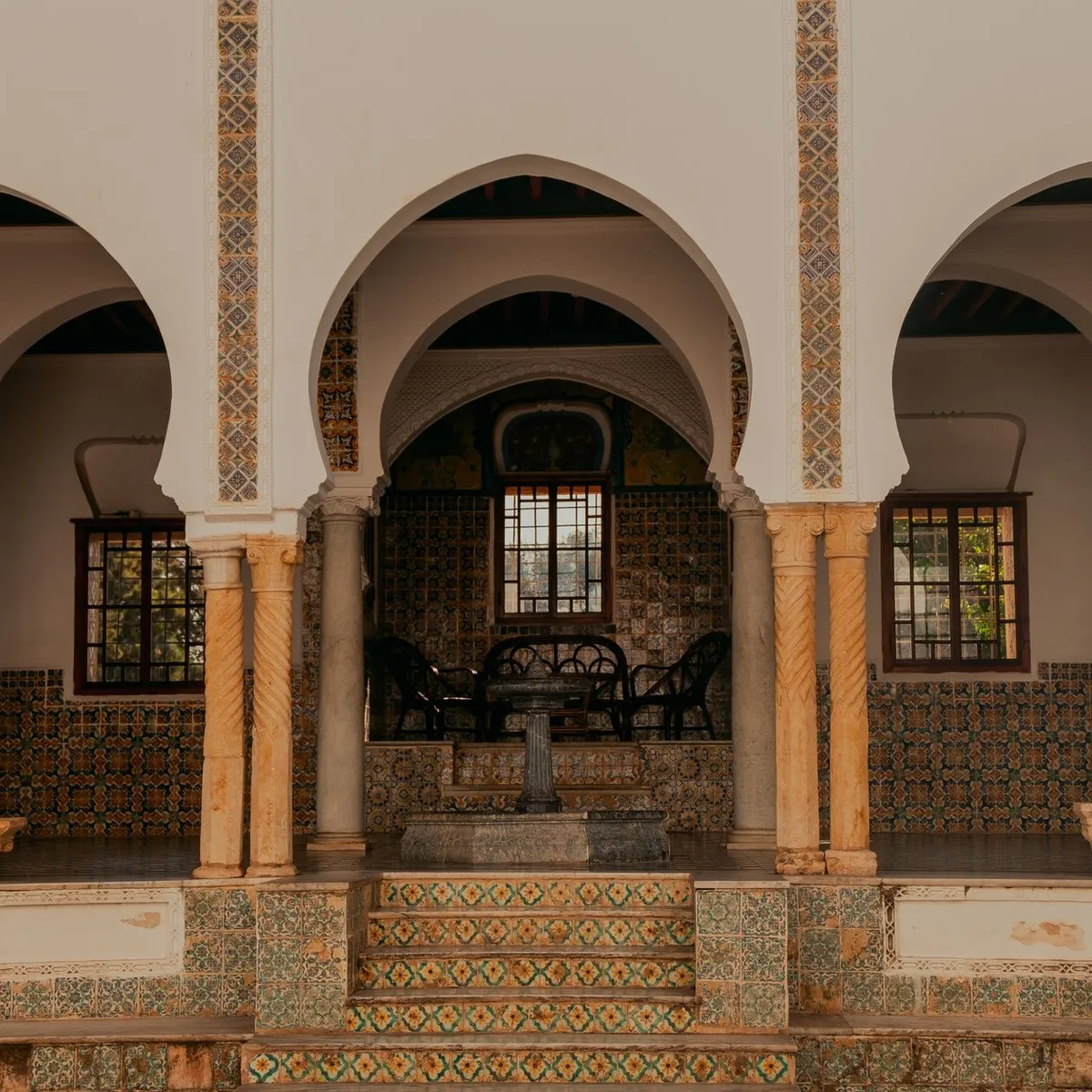
 Photo: khebab salaheddine / Pexels
Errachidia
Errachidia accessibility for wheelchair users
Compare Errachidia by accessibility, transport, terrain, healthcare, cost, weather, laws, reviews, and community notes.
Errachidia accessibility scores
Compare Errachidia by accessibility, transport, terrain, healthcare, cost, weather, and laws. General stats use public data and models. Community rows reflect member reviews and votes.
General stats
National benchmarks and estimates — your experience in this city may differ.
Community
Starts from our estimate — thumbs up nudge toward Excellent, down toward Poor. Reviews use 1–5 stars.
These figures combine public statistics, models, and live weather where available. Every city is different — treat this as a guide, and share what you know in the Reviews & Corrections tab.
Profile last updated 7/1/2026.
Errachidia wheelchair accessibility guide
Research Errachidia for wheelchair users and caregivers: getting around, terrain, healthcare, costs, climate, accessible things to do, and practical caveats before booking.
Last updated 7/1/2026At a glance
Errachidia is the Drâa-Tafilalet regional capital in Saharan Morocco, formerly Ksar es-Souk, on the Ziz River. It is more useful as a transit and services hub between the High Atlas, Erfoud, Rissani, and Merzouga than as a dense attraction city. RollVenture data gives it strong cost value but low accessibility scores. Budget from ~$1690/mo, with housing from ~$626/mo. Wheelchair users should plan for heat, limited curb consistency, and private transport.
Getting around
Wikivoyage notes Errachidia as a hub on national road 10 between Ouarzazate and Merzouga, with CTM buses and Moulay Ali Cherif Airport a few kilometers north of the center. Buses and grand taxis are useful for planning, but step-free boarding is not reliable. For wheelchair travel, arrange a private car or driver, especially for oasis and dam visits outside town.
Terrain & mobility
The DB profile marks Errachidia as very hilly, with a 9.2% sampled maximum grade, around 1097 m average elevation, and low-confidence pavement data. The town grid may be organized, but sidewalks and crossings should be checked block by block. Dust, slopes, and unpaved edges become more difficult in summer heat.
Healthcare & care
OpenStreetMap lists Hôpital Jdid close to the center and Moulay Ali Cherif hospital about 1.3 km away; verify emergency access, entrances, and language support locally. For longer stays, ask accommodation staff about pharmacy delivery, private nursing leads, and transport to appointments before arrival.
Costs & housing
The low estimated living cost is attractive, but accessible housing is likely limited. Prioritize modern hotels or newer apartments with elevators, walk-in shower photos, and road-level entry. Avoid assuming riad-style or older properties will work without detailed measurements.
Climate & comfort
The city has a hot desert climate. Wikipedia's climate table shows very hot summers and low rainfall; plan outdoor errands for morning and evening, carry water, and use sun protection. Winter nights can be cool, so temperature swings matter for pain and fatigue management.
Accessible things to do
Sijilmassa Museum— Wikivoyage lists this as closed for renovation; keep it as a research lead only and confirm reopening and step-free access before visiting.
La Source Bleue / Meski oasis— Wikivoyage lists the Blue Spring near Meski south of Errachidia. Treat it as a scenic car outing; paths, cave access, and water-edge surfaces may be difficult.
Hassan Addakhil Dam— Listed by Wikivoyage as a nearby sight. Best approached as a viewpoint by private car, not as an independent roll.
Ziz River / oasis viewpoints— Wikipedia confirms the city is on the Ziz River and part of the Tafilalt region. Choose roadside viewpoints and avoid soft ground unless a local guide confirms conditions.
Errachidia city grid and market streets— Wikivoyage describes the town as clean and organized because of military use. A short central roll can be worthwhile if you scout crossings and shade.
Community & language
Arabic and Amazigh are local languages, with French often useful in administration and tourism. English may be limited outside tour operators. Confirm disability needs visually and in writing; do not rely on generic "accessible" labels.
Would we recommend it?
Yes as a practical Saharan Morocco base if you have a driver and heat plan. It is not the strongest stand-alone accessible destination, but it can support a careful route toward the Ziz Valley and desert towns.
These figures combine public statistics, models, and live weather where available. Every city is different — treat this as a guide, and share what you know in the Reviews & Corrections tab.
Profile last updated 7/1/2026.
Reviews & corrections
Share your experience or suggest a data correction. Both appear publicly; admin updates official city scores and costs separately.
Log in to write a review or suggest a correction.
No reviews or corrections yet.