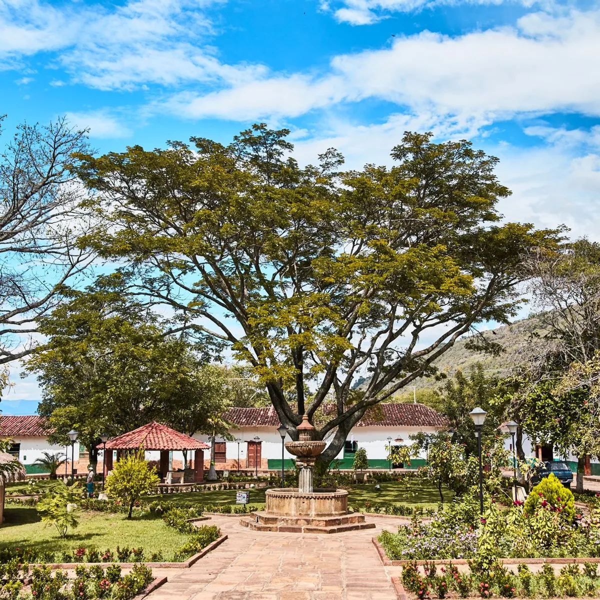
 Photo: Daniel Cely / Pexels
Magangué
Magangué accessibility for wheelchair users
Compare Magangué by accessibility, transport, terrain, healthcare, cost, weather, laws, reviews, and community notes.
Magangué accessibility scores
Compare Magangué by accessibility, transport, terrain, healthcare, cost, weather, and laws. General stats use public data and models. Community rows reflect member reviews and votes.
General stats
National benchmarks and estimates — your experience in this city may differ.
Community
Starts from our estimate — thumbs up nudge toward Excellent, down toward Poor. Reviews use 1–5 stars.
These figures combine public statistics, models, and live weather where available. Every city is different — treat this as a guide, and share what you know in the Reviews & Corrections tab.
Profile last updated 7/1/2026.
Magangué wheelchair accessibility guide
Research Magangué for wheelchair users and caregivers: getting around, terrain, healthcare, costs, climate, accessible things to do, and practical caveats before booking.
Last updated 7/1/2026At a glance
Magangué is a Colombian river city in Bolívar, historically tied to the Magdalena River and regional transport. For wheelchair users, it has one big advantage over many Andean towns: the terrain is mostly flat. The caution is infrastructure. RollVenture's live data shows modest accessibility scores, low ramp availability, and low-confidence pavement tagging, so flat does not automatically mean easy.
Getting around
Plan for taxis, mototaxi alternatives only if transfers are safe for you, and known drivers for riverfront or clinic trips. The city has a transport-and-port character, which can mean busy streets, informal parking, and uneven curb management. Ask lodging staff to identify the smoothest approach routes rather than simply the shortest ones.
Terrain & mobility
The terrain profile is encouraging: OpenTopoData shows average elevation around 22 m, mostly flat labeling, and only a small sampled elevation range. The pavement profile is less reassuring, with low confidence, many untagged ways, and unpaved surfaces appearing in the sample. Expect heat, puddling, rough shoulders, and curb gaps even on flat streets.
Healthcare & care
OSM lists a Cruz Roja healthcare lead roughly 2.7 km from the center. Because only one nearby lead appears in the row, verify current services before relying on it. For ongoing care, ask whether referrals would go to Sincelejo, Cartagena, or another larger city, and keep extra medication and chair supplies on hand.
Costs & housing
The estimated cost is from ~$1,727/mo, with housing around $599/mo. Look for newer buildings, step-free entry from the street, reliable fans or air conditioning, and a bathroom with a roll-in or low-threshold shower. A flat neighborhood near daily services may be more valuable than a prettier riverside location with broken sidewalks.
Climate & comfort
The climate is hot and wet: average temperature about 27.8°C, hot-month averages around 29.2°C, and roughly 2,158 mm of annual precipitation over about 233 rainy days. Heat management, shade, hydration, and rain timing are central access issues. Afternoon plans should be flexible.
Accessible things to do
Magdalena River frontage— the defining orientation point; verify current paving and curb access before planning a long roll.
Central commercial streets— useful for food, pharmacies, and daily errands, best attempted during quieter hours.
Main plaza and church exterior— a likely short outing if nearby crossings and plaza surfaces are confirmed locally.
River transport viewpoints— watch river traffic from a stable paved edge rather than assuming docks or boats are accessible. A good first-day plan is not a sightseeing checklist; it is a route test from housing to food, pharmacy, shade, and transport. If those basics work without exhausting transfers, add one riverfront stop at a time.
Community & language
Spanish is essential. River cities can be friendly and practical, but access often depends on local workarounds. Be explicit about chair weight, whether you can transfer, and whether stairs are impossible or just difficult.
Would we recommend it?
Maybe, for budget-conscious travelers who need flat terrain and have flexible expectations. It is not a polished accessible destination, but with careful housing and transport checks it may be workable for a low-key stay.
These figures combine public statistics, models, and live weather where available. Every city is different — treat this as a guide, and share what you know in the Reviews & Corrections tab.
Profile last updated 7/1/2026.
Reviews & corrections
Share your experience or suggest a data correction. Both appear publicly; admin updates official city scores and costs separately.
Log in to write a review or suggest a correction.
No reviews or corrections yet.