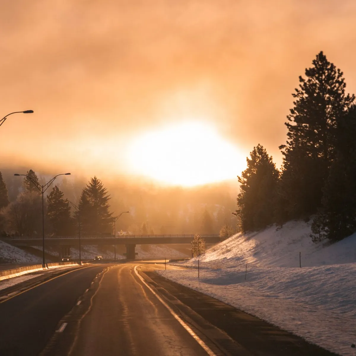
 Photo: dumitru B / Pexels
Missoula
Missoula accessibility for wheelchair users
Compare Missoula by accessibility, transport, terrain, healthcare, cost, weather, laws, reviews, and community notes.
Missoula accessibility scores
Compare Missoula by accessibility, transport, terrain, healthcare, cost, weather, and laws. General stats use public data and models. Community rows reflect member reviews and votes.
General stats
National benchmarks and estimates — your experience in this city may differ.
Community
Starts from our estimate — thumbs up nudge toward Excellent, down toward Poor. Reviews use 1–5 stars.
These figures combine public statistics, models, and live weather where available. Every city is different — treat this as a guide, and share what you know in the Reviews & Corrections tab.
Profile last updated 7/2/2026.
Missoula wheelchair accessibility guide
Research Missoula for wheelchair users and caregivers: getting around, terrain, healthcare, costs, climate, accessible things to do, and practical caveats before booking.
Last updated 7/2/2026At a glance
Missoula is one of the more promising small U.S. mountain cities for wheelchair users who value community, transit access, and healthcare, but it is not an easy-terrain city. RollVenture scores it well for infrastructure and wheelchair transport, while the terrain profile flags very hilly surroundings and a large elevation range. Budget around $3,454/month, including housing from ~$1,372/mo. The accessible sweet spot is close to downtown, Mountain Line routes, the river trail system, and Providence/St. Patrick medical services.
Getting around
Mountain Line states that its fixed-route service is 100% accessible for mobility devices and that buses are lift- or ramp-equipped, with operators trained to secure wheelchairs and scooters. That is a strong verified transport lead. Still, winter snow, curb cuts, and hill exposure can make the last block harder than the bus ride; test routes to housing, clinics, groceries, and social stops.
Terrain & mobility
The valley floor can be manageable, but Missoula is ringed by steep terrain. RollVenture sampling shows very hilly terrain, unpaved/asphalt mixes, and only medium confidence in pavement data. Manual-chair users should prioritize flatter neighborhoods and avoid assuming trailheads or scenic viewpoints are accessible.
Healthcare & care
The DB healthcare profile lists St. Patrick Hospital as an emergency-hospital lead close to the center, plus Partnership Health Center and other clinics. Providence’s St. Patrick page describes regional hospital care; confirm insurance, specialist wait times, rehab access, and winter transport before relocating.
Costs & housing
Costs are moderate-high: from ~$3,454/month and housing from ~$1,372/mo. Accessible rentals can be competitive in a college/outdoor city, so verify elevator reliability, snow removal responsibility, entry slope, bathroom turning radius, and distance to a bus stop that remains usable in winter.
Climate & comfort
Winters are the main planning issue: snow, freeze-thaw, curb piles, and dark afternoons can reduce independence. Summers are pleasant but wildfire smoke can affect respiratory comfort.
Accessible things to do
Mountain Line bus network— a practical accessibility asset in itself, with lift/ramp-equipped fixed-route buses and securement support.
Missoula Art Museum— a central cultural stop; the direct accessibility URL checked returned 404, so verify current elevator, restroom, and entrance details before visiting.
Caras Park and downtown riverfront— a useful downtown gathering area and event zone; route surfaces and event crowding should be checked in advance.
Fort Missoula / museum district— a worthwhile history area, but the accessibility URL checked returned 404, so call ahead about building entrances, gravel, restrooms, and parking.
For daily errands, ask locals about the exact winter-clearing pattern on your block rather than relying on citywide impressions. A route that is easy in July can become difficult after plows leave snow at curb ramps or bus stops.
Community & language
English is the working language. Missoula has a strong local nonprofit, university, and outdoor-recreation culture, which can be welcoming but sometimes assumes car access or rugged mobility.
Would we recommend it?
Yes for wheelchair users who can choose a flat, transit-linked home base and handle winter planning. It is not the best fit for someone who needs consistently flat terrain or wants spontaneous access to every trail and viewpoint.
These figures combine public statistics, models, and live weather where available. Every city is different — treat this as a guide, and share what you know in the Reviews & Corrections tab.
Profile last updated 7/2/2026.