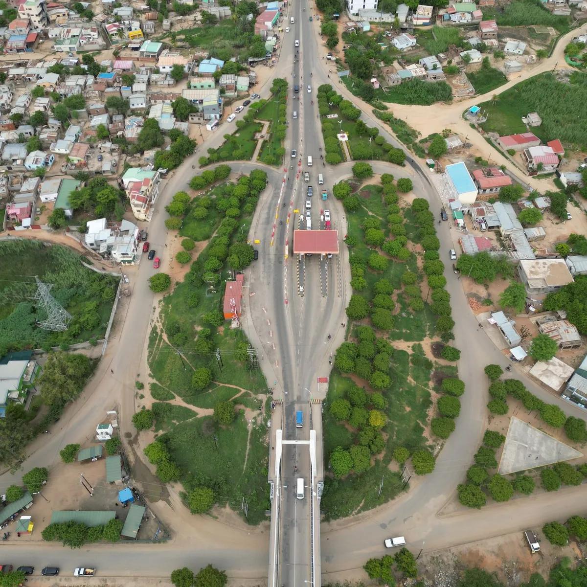
 Photo: SINAL Multimédia / Pexels
Mufulira
Mufulira accessibility for wheelchair users
Compare Mufulira by accessibility, transport, terrain, healthcare, cost, weather, laws, reviews, and community notes.
Mufulira accessibility scores
Compare Mufulira by accessibility, transport, terrain, healthcare, cost, weather, and laws. General stats use public data and models. Community rows reflect member reviews and votes.
General stats
National benchmarks and estimates — your experience in this city may differ.
Community
Starts from our estimate — thumbs up nudge toward Excellent, down toward Poor. Reviews use 1–5 stars.
These figures combine public statistics, models, and live weather where available. Every city is different — treat this as a guide, and share what you know in the Reviews & Corrections tab.
Profile last updated 7/2/2026.
Mufulira wheelchair accessibility guide
Research Mufulira for wheelchair users and caregivers: getting around, terrain, healthcare, costs, climate, accessible things to do, and practical caveats before booking.
Last updated 7/2/2026At a glance
Mufulira is a Copperbelt mining town in Zambia, useful mainly for travellers with a specific work, family, or overland reason to be there. Wikipedia describes the town as having developed around the Mufulira Copper Mine and being connected by the M4 to Kitwe and Ndola, with the Congo Pedicle route linking toward Luapula. RollVenture’s live row shows low accessibility, low-confidence pavement data, and costs from ~$2,077/mo. The terrain is gently rolling, but the practical access picture depends on private transport, hotel choice, and local help. Build the trip around confirmed rooms and short errands, not independent exploration from the curb.
Getting around
Plan for car-based travel. Mufulira’s regional road connections are important, but public transport should not be assumed wheelchair accessible. If arriving from Ndola or Kitwe, book a vehicle large enough for your wheelchair and confirm the route condition, especially in rainy periods. Within town, choose short point-to-point trips rather than spontaneous pavement travel.
Terrain & mobility
OpenTopoData indicates gently rolling terrain with all sampled points broadly flat, which is encouraging. The pavement profile is the constraint: low-confidence OSM data with untagged, unpaved, asphalt, and dirt surfaces. Expect uneven shoulders, drainage edges, dust or mud, and inconsistent kerb cuts. A power chair or strong assistant may be needed outside the immediate hotel or hospital area.
Healthcare & care
Mapped healthcare leads include Ronald Ross General Hospital, Malcolm Watson Hospital, and Kawama East Mini Hospital. These are OSM-derived leads, not audited accessibility data. Verify emergency capacity, entrance ramps, accessible toilets, and whether imaging or specialist care requires transfer to Kitwe or Ndola. Carry medication and written clinical details.
Costs & housing
The DB estimate is from ~$2,077/mo, with housing around $1,080. Mufulira may not have many internationally marketed accessible hotels, so ask for recent photos: entrance, reception route, bathroom, shower, toilet clearance, and bed height. If accessibility is critical, consider basing in Kitwe or Ndola and visiting Mufulira by car.
Climate & comfort
The Copperbelt has a marked rainy season. Unpaved or poorly drained surfaces can become the real barrier after storms, while dry-season dust can affect respiratory comfort. Build extra time into transfers.
Accessible things to do
Mufulira Copper Mine / mining town context— The mine shaped the town; use it as a drive-by/context stop rather than assuming tours are available or accessible.
Ronald Ross General Hospital area— A practical orientation point near the centre; useful to scout early if medical backup matters.
M4 road corridor toward Kitwe/Ndola— For many wheelchair users, the safest outing is a planned vehicle route with controlled stops, not informal street wandering.
Local markets and central errands— Possible with a helper and vehicle waiting nearby; verify surfaces and crowding before leaving the car.
Community & language
English is Zambia’s official language and should help with healthcare, hotels, and formal transport. Local languages are also common, so a local fixer/driver is valuable.
Would we recommend it?
Only for necessary travel or experienced overland visitors. Mufulira has workable terrain and healthcare leads, but verified accessible tourism infrastructure is thin.
These figures combine public statistics, models, and live weather where available. Every city is different — treat this as a guide, and share what you know in the Reviews & Corrections tab.
Profile last updated 7/2/2026.