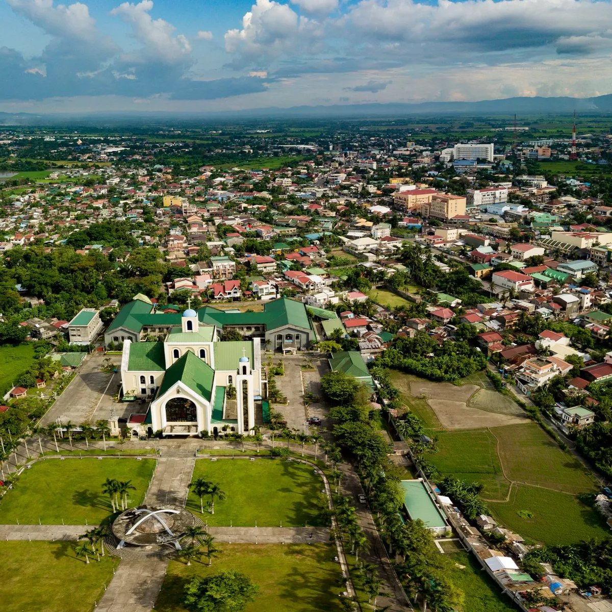
 Photo: Roderick Salatan / Pexels
San Fernando
San Fernando accessibility for wheelchair users
Compare San Fernando by accessibility, transport, terrain, healthcare, cost, weather, laws, reviews, and community notes.
San Fernando accessibility scores
Compare San Fernando by accessibility, transport, terrain, healthcare, cost, weather, and laws. General stats use public data and models. Community rows reflect member reviews and votes.
General stats
National benchmarks and estimates — your experience in this city may differ.
Community
Starts from our estimate — thumbs up nudge toward Excellent, down toward Poor. Reviews use 1–5 stars.
These figures combine public statistics, models, and live weather where available. Every city is different — treat this as a guide, and share what you know in the Reviews & Corrections tab.
Profile last updated 7/2/2026.
San Fernando wheelchair accessibility guide
Research San Fernando for wheelchair users and caregivers: getting around, terrain, healthcare, costs, climate, accessible things to do, and practical caveats before booking.
Last updated 7/2/2026At a glance
San Fernando, Pampanga is a major Central Luzon city with flat-to-gently rolling terrain, strong regional services, and better practical prospects than its raw accessibility score suggests. The database still flags weak ramp availability and wheelchair transport, so this is not a carefree access city; it is a place where a wheelchair user should lean on malls, hospitals, private vehicles, and newer roads. The live cost profile is moderate, from ~$1,907/mo with housing from ~$775/mo. It is a sensible Pampanga base if you can arrange reliable rides and choose a step-free building.
Getting around
The city is car- and jeepney-oriented. Jeepneys and tricycles are rarely wheelchair accessible, so most wheelchair users will need family transport, hired vehicles, taxis, or app-based rides where available. San Fernando’s regional road connections are useful for Manila, Clark, and other Pampanga towns, but confirm assistance for long-distance bus boarding before relying on it.
Terrain & mobility
Terrain is one of the better parts of the profile: sampled grades are low and the elevation range is modest. Pavement data has high confidence, with many paved/concrete segments, although mud and broken edges still appear. Flooding, open drains, driveway lips, and interrupted sidewalks are likely bigger barriers than hills. Choose housing near a mall, hospital, or main-road commercial strip to minimize street crossings.
Healthcare & care
OpenStreetMap healthcare leads include Provincial Malward, Pampanga EENT and General Hospital, Munoz Clinic, Quebiawan Health Center, and Espiritu Clinic. Treat them as starting points: verify emergency departments, step-free entrances, lifts, accessible toilets, and whether staff can help with transfers. More specialist care may be reachable in Angeles/Clark or Metro Manila, but transport time and heat matter.
Costs & housing
Food is listed from ~$331/mo, transport from ~$174/mo, medical from ~$130/mo, and home aid from ~$406/mo. Accessible housing should be easier in newer subdivisions or condo-style buildings than in older town-center houses. Require photos of the entrance, bathroom, bedroom route, parking/drop-off area, and any flood-prone approach.
Climate & comfort
The climate is hot, humid, and wet-season heavy. Prioritize shade, air-conditioning, battery charging, and routes that do not require rolling through standing water. Afternoon errands are often harder because heat and traffic combine.
Accessible things to do
San Fernando Heritage District— A verified city attraction; use it as a short, assisted heritage route rather than assuming continuous smooth sidewalks.
Metropolitan Cathedral of San Fernando— Central landmark and orientation point; check ramps, church-event crowds, and nearest vehicle drop-off.
SM City Pampanga / major mall corridor— Large malls are usually the most practical accessible leisure, restroom, pharmacy, and dining anchors; verify elevators and accessible parking.
Giant Lantern Festival venues— San Fernando is known for the festival; wheelchair users should ask about viewing areas, crowd control, toilets, and transport before attending.
Community & language
Kapampangan, Filipino, and English are all useful. People may be helpful, but informal help is not the same as dependable access; call venues before visiting.
Would we recommend it?
Yes, with planning. San Fernando has flat terrain and regional services, but independent mobility still depends on private transport, flood-aware housing, and careful venue checks.
These figures combine public statistics, models, and live weather where available. Every city is different — treat this as a guide, and share what you know in the Reviews & Corrections tab.
Profile last updated 7/2/2026.
Reviews & corrections
Share your experience or suggest a data correction. Both appear publicly; admin updates official city scores and costs separately.
Log in to write a review or suggest a correction.
No reviews or corrections yet.