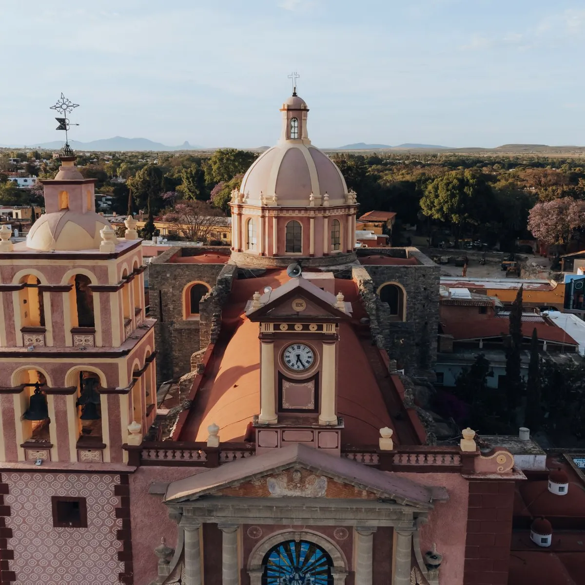
 Photo: Alessandro Avilés / Pexels
Santa María Chimalhuacán
Santa María Chimalhuacán accessibility for wheelchair users
Compare Santa María Chimalhuacán by accessibility, transport, terrain, healthcare, cost, weather, laws, reviews, and community notes.
Santa María Chimalhuacán accessibility scores
Compare Santa María Chimalhuacán by accessibility, transport, terrain, healthcare, cost, weather, and laws. General stats use public data and models. Community rows reflect member reviews and votes.
General stats
National benchmarks and estimates — your experience in this city may differ.
Community
Starts from our estimate — thumbs up nudge toward Excellent, down toward Poor. Reviews use 1–5 stars.
These figures combine public statistics, models, and live weather where available. Every city is different — treat this as a guide, and share what you know in the Reviews & Corrections tab.
Profile last updated 7/1/2026.
Santa María Chimalhuacán wheelchair accessibility guide
Research Santa María Chimalhuacán for wheelchair users and caregivers: getting around, terrain, healthcare, costs, climate, accessible things to do, and practical caveats before booking.
Last updated 7/1/2026At a glance
Santa María Chimalhuacán is a large municipality on the eastern edge of Mexico City’s metro area. It offers lower costs and access to the capital region, but it is not an easy wheelchair base: terrain, safety, distance to hospitals, and uneven urban infrastructure all require planning. The DB profile shows good pavement tagging and moderate affordability, but lower ramp and wheelchair-transport scores. Treat it as a local residential base, not a polished visitor destination.
Getting around
Most wheelchair users should plan around private vehicles, taxis, or trusted local drivers. Public transport in the eastern metro area can be crowded and step-heavy, and the last mile is often the hardest part. If you need Mexico City attractions or specialist healthcare, budget substantial transfer time and avoid late-night travel. Confirm whether your driver can handle your chair, whether streets near the accommodation are paved, and whether drop-offs can happen directly at ramped entrances.
Terrain & mobility
The terrain profile labels the area hilly, with a sampled maximum grade around 4.4% and an elevation range around 315 m. That is meaningful for manual chair users, especially at altitude. The OSM pavement profile is high confidence and relatively strong, with 79% good tagged surfaces and asphalt/concrete/paving-stone routes recorded. Still, Chimalhuacán has many dense neighbourhood streets where sidewalk continuity, curb cuts, slopes, and driveway lips can change quickly.
Healthcare & care
The DB healthcare leads are mostly outside the immediate centre: Hospital Regional Texcoco, UMF 23 Unidad Morelos, Centro de Salud José Zozaya, Centro de Salud Dr. D. Orvañanos, and Hospital Dermatológico Ladislao Pascua. These are OSM-derived leads, not verified access listings. For specialist care, many travelers will look toward Mexico City proper. The cost model estimates medical from ~$140/mo, PT from ~$98/mo, and home aid from ~$470/mo; confirm providers locally before relying on them.
Costs & housing
Estimated living cost is from ~$2167/mo, housing from ~$896/mo, and transport from ~$193/mo. The price advantage can disappear if you need frequent long transfers into Mexico City. Accessible housing verification is essential: ask for entrance slope photos, step count from street to door, bathroom width, shower threshold, hot-water reliability, and whether the street outside floods or becomes blocked by parked cars.
Climate & comfort
The high-altitude Valley of Mexico climate is generally mild, but sun exposure, air quality, and rainy-season drainage matter. Afternoon storms can make curb cuts slippery or blocked. At altitude, pushing uphill can be more tiring than the grade alone suggests, so plan shorter first days and keep backup transport options.
Accessible things to do
Chimalhuacán municipal centre— useful for local errands, plazas, and food, but verify curb cuts and paving street by street.
Guerrero Chimalli sculpture area— a recognizable local landmark and photo stop; check the exact drop-off and pavement condition before visiting.
Parque Ecoturístico El Chimalhuache— a local outdoor destination; suitable only if current path surfaces, toilets, and vehicle access are confirmed.
Texcoco-area services and parks— practical for hospital leads and lower-intensity outings east of the metro; confirm accessible entrances before travel.
Community & language
Spanish is essential. Local help matters more here than in tourist zones: a host, driver, or family contact can check entrances and routes before you go. Accessibility descriptions may be informal, so ask for photos and measurements.
Would we recommend it?
Only for travelers with a specific local reason, a trusted driver, and verified housing. It can be affordable, but it is not a simple accessible base for exploring Mexico City.
These figures combine public statistics, models, and live weather where available. Every city is different — treat this as a guide, and share what you know in the Reviews & Corrections tab.
Profile last updated 7/1/2026.
Reviews & corrections
Share your experience or suggest a data correction. Both appear publicly; admin updates official city scores and costs separately.
Log in to write a review or suggest a correction.
No reviews or corrections yet.