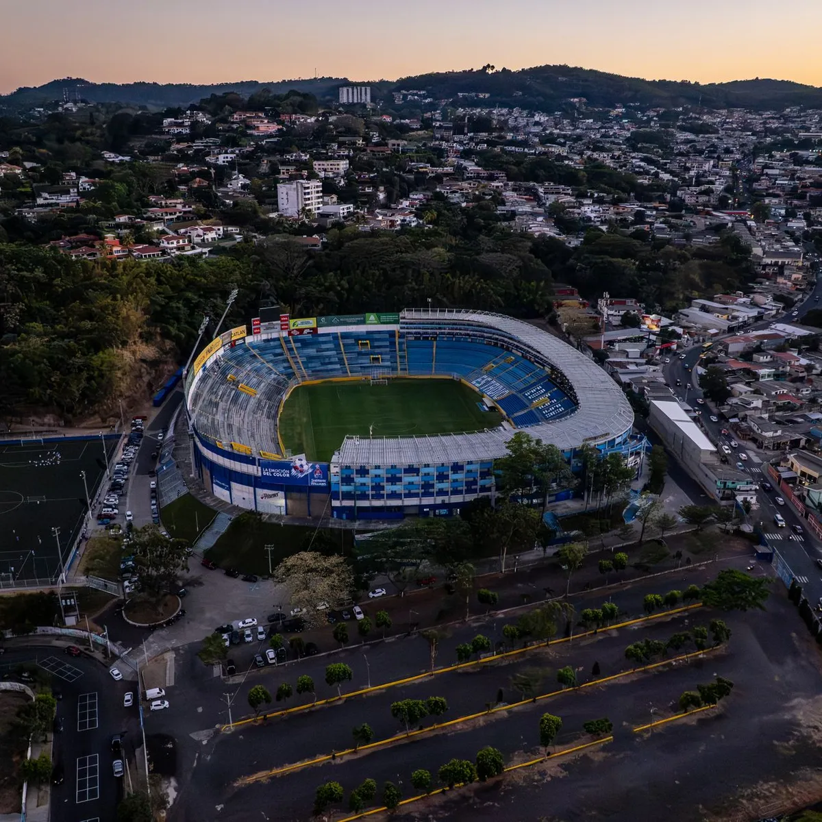
 Photo: Diego Lopez / Pexels
Soyapango
Soyapango accessibility for wheelchair users
Compare Soyapango by accessibility, transport, terrain, healthcare, cost, weather, laws, reviews, and community notes.
Soyapango accessibility scores
Compare Soyapango by accessibility, transport, terrain, healthcare, cost, weather, and laws. General stats use public data and models. Community rows reflect member reviews and votes.
General stats
National benchmarks and estimates — your experience in this city may differ.
Community
Starts from our estimate — thumbs up nudge toward Excellent, down toward Poor. Reviews use 1–5 stars.
These figures combine public statistics, models, and live weather where available. Every city is different — treat this as a guide, and share what you know in the Reviews & Corrections tab.
Profile last updated 7/2/2026.
Soyapango wheelchair accessibility guide
Research Soyapango for wheelchair users and caregivers: getting around, terrain, healthcare, costs, climate, accessible things to do, and practical caveats before booking.
Last updated 7/2/2026At a glance
Soyapango is a dense San Salvador metropolitan district and one of El Salvador's largest urban municipalities. It is not a relaxed resort base, but it can be practical for people who need to be close to eastern San Salvador, shopping, clinics, and city transport corridors. The accessibility profile is mixed: some paved urban surfaces and large commercial sites help, while very hilly terrain, traffic, safety concerns, and uneven sidewalks make independent wheelchair movement difficult.
Getting around
Soyapango is a main thoroughfare between San Salvador and the eastern part of the country, with heavy daily vehicle traffic. Use private rides or a trusted taxi arrangement when possible, and avoid relying on curbside hailing if transfers are slow. For appointments in San Salvador, leave extra time for congestion and confirm drop-off points with ramps or level entrances.
Terrain & mobility
This is the biggest caution. The DB terrain sample marks Soyapango as very hilly, with high maximum sampled grade and only about half the samples flat. Sidewalk quality varies by block; OSM pavement data is better than some peer cities, but that does not solve slopes, driveway cuts, utility poles, or missing curb ramps. Power-chair users should think carefully about battery range and braking on hills; manual-chair users should plan for assistance.
Healthcare & care
OSM healthcare leads include Unidad de FOSALUD, Unidad de Salud Amatepec, ISSS San Jacinto, Fosalud San Jacinto, and Hospital Centro Pediátrico in the wider area. Verify which facility fits your need, whether ramps and accessible toilets exist, and whether referrals into San Salvador are faster for specialist care. Keep Spanish medical notes ready.
Costs & housing
The stored monthly estimate is from ~$2,707/mo, with housing around $1,388/mo. In this metro setting, the best accessible housing may be newer apartments, serviced rentals, or hotels just outside the steepest streets. Ask for elevator dimensions, generator coverage, parking access, bathroom photos, and the actual slope at the entrance.
Climate & comfort
The climate is warm, with a pronounced wet season. Rain can make steep streets slippery and can hide broken pavement. Heat, traffic pollution, and noise also affect comfort, so plan errands in clusters and prioritize air-conditioned rest stops.
Accessible things to do
Plaza Mundo Soyapango— the mall is confirmed by the official Plaza Mundo site; as a modern commercial complex it is one of the more plausible step-free outing leads, but confirm elevator and restroom details.
Local sports venues— Soyapango's public profile includes sports; verify seating, ramps, and security arrangements before attending events.
San Salvador day trips— museums and larger civic sites in the capital may offer better managed entrances than neighborhood streets; arrange door-to-door transport.
Ilopango-side viewpoints and lake outings— nearby Ilopango is a common metro recreation area; use vehicle-based access and verify current ramps, toilets, and safety.
Community & language
Spanish is essential. Family networks and mall/security staff can be helpful, but formal disability access is uneven. Ask local contacts which entrances residents actually use with strollers, older adults, or mobility aids.
Would we recommend it?
Yes only as a practical San Salvador metro base with careful routing. For leisure, nearby areas with flatter streets or better hotels may be easier; for errands and services, Soyapango can work with private transport.
These figures combine public statistics, models, and live weather where available. Every city is different — treat this as a guide, and share what you know in the Reviews & Corrections tab.
Profile last updated 7/2/2026.
Reviews & corrections
Share your experience or suggest a data correction. Both appear publicly; admin updates official city scores and costs separately.
Log in to write a review or suggest a correction.
No reviews or corrections yet.