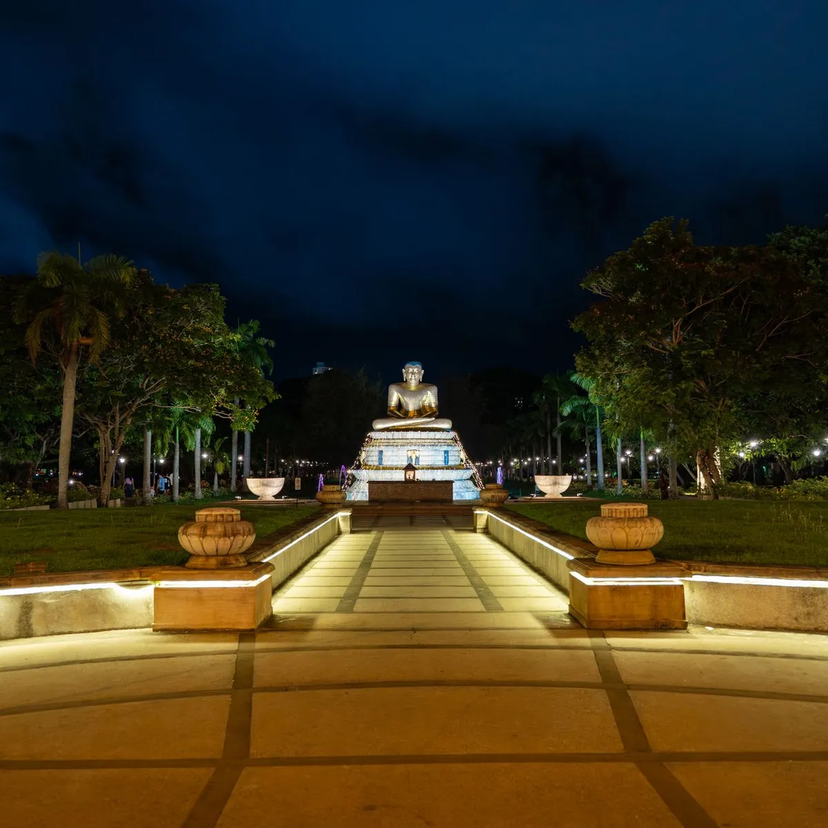
 Photo: Thilina Alagiyawanna / Pexels
Sri Jayewardenepura Kotte
Sri Jayewardenepura Kotte accessibility for wheelchair users
Compare Sri Jayewardenepura Kotte by accessibility, transport, terrain, healthcare, cost, weather, laws, reviews, and community notes.
Sri Jayewardenepura Kotte accessibility scores
Compare Sri Jayewardenepura Kotte by accessibility, transport, terrain, healthcare, cost, weather, and laws. General stats use public data and models. Community rows reflect member reviews and votes.
General stats
National benchmarks and estimates — your experience in this city may differ.
Community
Starts from our estimate — thumbs up nudge toward Excellent, down toward Poor. Reviews use 1–5 stars.
These figures combine public statistics, models, and live weather where available. Every city is different — treat this as a guide, and share what you know in the Reviews & Corrections tab.
Profile last updated 7/1/2026.
Sri Jayewardenepura Kotte wheelchair accessibility guide
Research Sri Jayewardenepura Kotte for wheelchair users and caregivers: getting around, terrain, healthcare, costs, climate, accessible things to do, and practical caveats before booking.
Last updated 7/1/2026At a glance
Sri Jayewardenepura Kotte is Sri Lanka’s administrative capital within the Greater Colombo area. It offers better healthcare proximity than many smaller cities, but the RollVenture profile is cautious on ramps and wheelchair transport. The terrain is the strongest point: OpenTopoData marks it mostly flat, and the pavement sample is high-confidence with asphalt, paved, and concrete surfaces. Budget guidance starts from ~$1,526/mo, with housing from ~$592/mo. This is attractive for a capital-area base, but the access quality will vary block by block. Favor newer apartments, hospitals, malls, and parks with recent reviews over older small guesthouses or informal sidewalks, especially during monsoon rain and evening traffic or crowded public holidays too.
Getting around
Treat Kotte as part of metropolitan Colombo. App taxis and private drivers are usually more practical than buses for wheelchair users. Wikivoyage’s Colombo guidance warns that tuk-tuks require price negotiation and that traffic is congested; for mobility equipment, book a car and confirm trunk space. Keep trips outside peak traffic when possible.
Terrain & mobility
The city’s sampled terrain is mostly flat, with only about 0.4% maximum grade and a 30 m elevation range. OSM pavement confidence is high, with dominant asphalt, paved, and concrete surfaces, though many ways are untagged. The main barriers are likely curb cuts, traffic, drainage channels, narrow sidewalks, and building thresholds rather than hills.
Healthcare & care
OSM healthcare leads include Sri Jayawardenapura Teaching Hospital, Nawinna Medicare Hospital, Asiri Surgical Hospital, Divisional Hospital Thalangama, and Western Hospital. Several are marked emergency-capable in the profile. Verify current access, ambulance routing, outpatient lift access, and English-language support.
Costs & housing
The city profile estimates living from ~$1,526/mo and housing from ~$592/mo. Newer apartments may have lifts, but backup power, bathroom thresholds, and parking-to-lift routes need proof. Ask hosts for videos and avoid vague “accessible” listings.
Climate & comfort
The Colombo area is hot, humid, and rainy. Flooded curbs and slippery surfaces can be bigger problems than distance. Prioritize air-conditioned stops, covered entrances, and short outdoor windows.
Accessible things to do
Diyatha Uyana / Parliament lakefront area— a popular Kotte-side public waterfront area; use as a cautious flat-roll candidate and verify paving, toilets, and crowd levels.
Sri Jayawardenapura Parliament viewing area— the Parliament complex and lake setting are key local landmarks; plan as a drive-by/photo stop because security limits access.
Beddagana Wetland Park— a known urban wetland in the Kotte area; confirm boardwalk and ramp conditions before relying on it.
Independence Memorial Hall— in nearby Colombo, Wikivoyage lists it as a national monument and museum; it is a reasonable metro-area cultural outing if transport is arranged.
Community & language
Sinhala and Tamil are common; English is widely useful in hospitals, hotels, and professional settings. Written access questions help avoid misunderstandings.
Would we recommend it?
Yes, with urban caveats. Kotte has flat terrain and healthcare depth, but traffic, heat, curbs, and patchy ramp standards mean it still needs careful route planning.
These figures combine public statistics, models, and live weather where available. Every city is different — treat this as a guide, and share what you know in the Reviews & Corrections tab.
Profile last updated 7/1/2026.