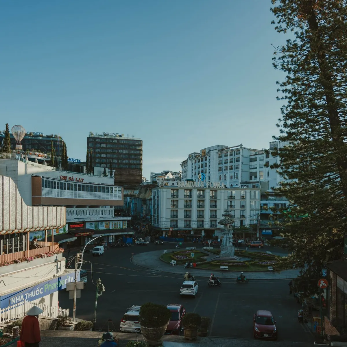
 Photo: Quang Vuong / Pexels
Thanh Hóa
Thanh Hóa accessibility for wheelchair users
Compare Thanh Hóa by accessibility, transport, terrain, healthcare, cost, weather, laws, reviews, and community notes.
Thanh Hóa accessibility scores
Compare Thanh Hóa by accessibility, transport, terrain, healthcare, cost, weather, and laws. General stats use public data and models. Community rows reflect member reviews and votes.
General stats
National benchmarks and estimates — your experience in this city may differ.
Community
Starts from our estimate — thumbs up nudge toward Excellent, down toward Poor. Reviews use 1–5 stars.
These figures combine public statistics, models, and live weather where available. Every city is different — treat this as a guide, and share what you know in the Reviews & Corrections tab.
Profile last updated 6/30/2026.
Thanh Hóa wheelchair accessibility guide
Research Thanh Hóa for wheelchair users and caregivers: getting around, terrain, healthcare, costs, climate, accessible things to do, and practical caveats before booking.
Last updated 6/30/2026At a glance
Thanh Hóa is a flat northern-central Vietnamese city and provincial hub, useful as a lower-cost base with nearby historic and coastal trips. RollVenture estimates from ~$1,612/mo, one of the cheaper profiles in this band. The terrain score is excellent, but accessibility infrastructure is still modest: low ramp availability, low-confidence pavement tagging, and likely inconsistent kerbs.
Getting around
Within the city, taxis or ride-hailing cars will usually be easier than buses for wheelchair users, especially when carrying a folding chair. The city is flat, so the main planning issue is sidewalk continuity, traffic, and safe crossings. For rail or longer trips to Sầm Sơn, Lam Kinh, or the Ho Dynasty Citadel, confirm station lifts, vehicle space, and site entrances ahead of time.
Terrain & mobility
DB terrain sampling is very favorable: mostly flat, average elevation around 9 m, and only 0.2% maximum sampled grade. Pavement data is less certain, with many untagged ways and a mix of asphalt and unpaved segments. Expect flat but interrupted mobility: parked motorbikes, vendor spillover, kerbs, and drainage lips may matter more than hills.
Healthcare & care
The OSM healthcare profile is strong for a provincial city, listing Bệnh viện Y học cổ truyền tỉnh Thanh Hóa, Hạc Thành General Hospital, Thanh Hóa Provincial General Hospital, Children’s Hospital, and Obstetrics Hospital within a few kilometres. Verify accessible entrances, lifts, English/Vietnamese communication, and whether private clinics can coordinate home care. DB estimates medical care around $118/mo, PT around $83/mo, and home aid around $371/mo.
Costs & housing
Housing is estimated from about $567/mo. For accessibility, newer serviced apartments or hotels with lifts may be safer than older houses. Ask for photos of the entrance threshold, lift dimensions, wet-room layout, and street approach during rain.
Climate & comfort
Expect hot humid summers, monsoon rain, and occasional typhoon-season disruption. Shade, drainage, backup transport, and air-conditioning reliability matter. Flat streets can still flood, so ground-floor access is not automatically better.
Accessible things to do
Lam Kinh Historical Site— an important heritage day trip; verify paths, distances, and rest areas before visiting.
Ho Dynasty Citadel— UNESCO-listed near Thanh Hóa province; wide outdoor areas may help, but surfaces and heat need planning.
Sầm Sơn Beach— a popular coastal outing; waterfront promenades may be easier than sand unless beach access equipment is arranged.
Hàm Rồng Bridge / river area— a local landmark and short scenic route if pavements and crossings are checked.
Community & language
Vietnamese is essential for care setup and housing. Friendliness scores are high, but practical accessibility depends on local relationships, translated notes, and a driver or helper who understands transfer needs.
Would we recommend it?
Yes for cost-sensitive travelers who can manage Vietnam’s traffic and inconsistent sidewalks. The flat terrain is a major advantage, but accessible housing and transport still need detailed verification. It is strongest for users who can arrange a trusted driver/helper and want a practical base rather than a fully accessible tourist resort. Build plans around morning outings, heat breaks, and confirmed vehicle pickup points, not long unsheltered sidewalk chains.
These figures combine public statistics, models, and live weather where available. Every city is different — treat this as a guide, and share what you know in the Reviews & Corrections tab.
Profile last updated 6/30/2026.