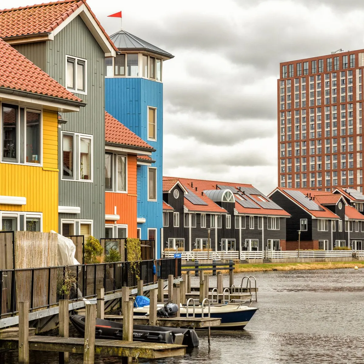
 Photo: Wopke Lamberst / Pexels
Zoetermeer
Zoetermeer accessibility for wheelchair users
Compare Zoetermeer by accessibility, transport, terrain, healthcare, cost, weather, laws, reviews, and community notes.
Zoetermeer accessibility scores
Compare Zoetermeer by accessibility, transport, terrain, healthcare, cost, weather, and laws. General stats use public data and models. Community rows reflect member reviews and votes.
General stats
National benchmarks and estimates — your experience in this city may differ.
Community
Starts from our estimate — thumbs up nudge toward Excellent, down toward Poor. Reviews use 1–5 stars.
These figures combine public statistics, models, and live weather where available. Every city is different — treat this as a guide, and share what you know in the Reviews & Corrections tab.
Profile last updated 6/30/2026.
Zoetermeer wheelchair accessibility guide
Research Zoetermeer for wheelchair users and caregivers: getting around, terrain, healthcare, costs, climate, accessible things to do, and practical caveats before booking.
Last updated 6/30/2026At a glance
Zoetermeer is a modern Dutch Randstad city between The Hague and surrounding towns. It is more functional than picturesque, but flat terrain, planned districts, and regional rail/tram links can make it useful for wheelchair users who value logistics over historic atmosphere.
Getting around
Plan around RandstadRail, buses, NS links, and 9292 accessibility information. Local municipal information points travellers to RandstadRail lines 3 and 4 for The Hague connections and to HTM, EBS/Arriva, NS, and Regiotaxi Haaglanden. Verify the exact stop, lift, platform, and route from lodging to destination.
Terrain & mobility
DB terrain marks the area as mostly flat, with sampled maximum grade around 0.3% and about 19 m elevation range. The OSM pavement sample is medium-confidence, with dominant surfaces including untagged, paving_stones, asphalt, paved; treat it as a routing lead, not a guarantee. The city is flat, but paving-stone and untagged OSM surfaces mean surface comfort should still be checked around shopping areas and stops.
Healthcare & care
The database healthcare profile lists HagaZiekenhuis Huidkliniek Zoetermeer, Orfeo Kliniek, MKA Clinics as openstreetmap-derived care leads; verify access, opening rules, language support, and urgency handling directly before relying on them. Use these clinic names as planning leads only, and identify the nearest full hospital/urgent-care pathway before travel.
Costs & housing
The database estimate is **from ~$3,880/mo**. Modern apartment blocks near verified transit stops may be easier than older housing; confirm lift size, entrance thresholds, bathroom turning space, and wet-room details.
Climate & comfort
Expect typical Dutch rain, wind, cool winters, and mild summers. Rain covers and indoor breaks matter, especially where routes involve exposed stops or paving stones.
Accessible things to do
RandstadRail-linked city centre routes— Stadhuis, Centrum West, and Dorp are practical orientation points mentioned in local transport context; verify current stop access before choosing a route.
Zoetermeer shopping and service areas— Treat modern centres as practical leads for step-free errands, cafés, and toilets, but confirm individual entrances and facilities.
Community & language
Dutch is official and English is widely usable. For regional transport, use operator planners and direct accessibility options rather than general travel-time estimates.
Would we recommend it?
Yes as a practical Randstad base, not as a first-choice sightseeing city. It is strongest when your stay depends on The Hague-region transport, clinics, offices, or modern housing.
These figures combine public statistics, models, and live weather where available. Every city is different — treat this as a guide, and share what you know in the Reviews & Corrections tab.
Profile last updated 6/30/2026.
Reviews & corrections
Share your experience or suggest a data correction. Both appear publicly; admin updates official city scores and costs separately.
Log in to write a review or suggest a correction.
No reviews or corrections yet.