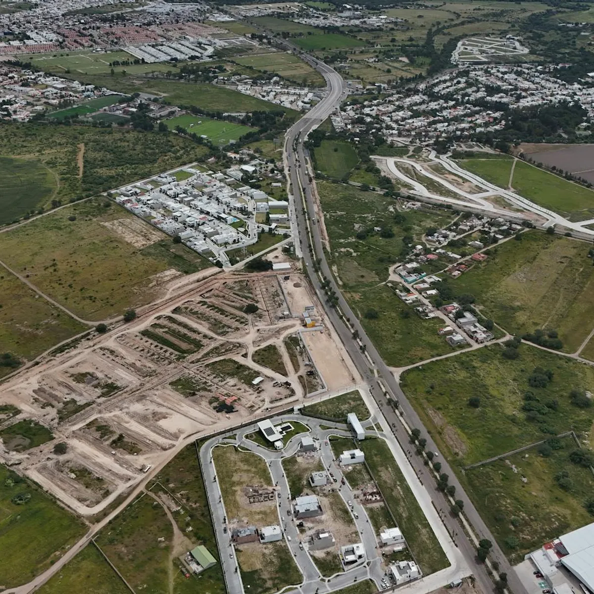
 Photo: Carlos Bedoy / Pexels
Aguascalientes
Aguascalientes accessibility for wheelchair users
Compare Aguascalientes by accessibility, transport, terrain, healthcare, cost, weather, laws, reviews, and community notes.
Aguascalientes accessibility scores
Compare Aguascalientes by accessibility, transport, terrain, healthcare, cost, weather, and laws. General stats use public data and models. Community rows reflect member reviews and votes.
General stats
National benchmarks and estimates — your experience in this city may differ.
Community
Starts from our estimate — thumbs up nudge toward Excellent, down toward Poor. Reviews use 1–5 stars.
These figures combine public statistics, models, and live weather where available. Every city is different — treat this as a guide, and share what you know in the Reviews & Corrections tab.
Profile last updated 6/30/2026.
Aguascalientes wheelchair accessibility guide
Research Aguascalientes for wheelchair users and caregivers: getting around, terrain, healthcare, costs, climate, accessible things to do, and practical caveats before booking.
Last updated 6/30/2026At a glance
Aguascalientes is a mid-sized Mexican city with a historic core, museums, parks, and a major fairground culture. It can work for wheelchair users who like compact city stays, but it needs careful route planning: the center has plazas and cultural buildings, while older sidewalks, festival crowds, and hilly edges can complicate access. RollVenture's stored estimate is from ~$2,231/mo, with housing from ~$937/mo. The pavement profile is high-confidence and relatively strong, but ramp availability and wheelchair transport scores remain modest.
Getting around
Do not assume buses will be easy with a wheelchair. For most visitors, app rides or arranged taxis are safer, especially between the airport, hotel, historic center, medical appointments, and fairgrounds. If traveling during the Feria Nacional de San Marcos, crowds and road closures can change the access picture completely; book accommodation close to your main venue and ask about step-free parking/drop-off.
Terrain & mobility
The city sits at altitude and the stored terrain profile labels it hilly, with a sampled max grade around 4.1%. Central plazas may be manageable, while routes between neighborhoods can involve slopes and uneven curb cuts. The OSM surface profile shows concrete and asphalt are common, which is helpful, but untagged or unpaved segments still appear.
Healthcare & care
Nearby OSM healthcare leads include several central clinics such as Especialidades Médicas del Centro and Clínica Oftálmica del Centro. These are not guarantees of access or emergency capability. Verify entrances, elevator access, appointment scheduling, and whether your insurance is accepted. For higher-acuity care, identify the right hospital before arrival.
Costs & housing
Costs are moderate by North American standards. Accessible housing is likely easier in newer hotels or apartment buildings than in colonial-style properties. Ask for bathroom photos, elevator dimensions, entrance threshold height, and parking/drop-off details.
Climate & comfort
Aguascalientes is generally dry compared with coastal Mexico, with strong sun and cooler nights. Altitude and heat can matter for fatigue. Shade, water, and rest breaks are important during festivals or long museum days.
Accessible things to do
Jardín de San Marcos / San Marcos district— the iconic district is a good cultural anchor, but verify curb cuts and crowd conditions, especially during the fair.
Plaza de la Patria and the historic center— useful for a controlled roll through central architecture; choose routes with smoother paving and avoid peak traffic times.
Museo Nacional de la Muerte— a distinctive museum stop; contact ahead for step-free entrance, elevators, and accessible restrooms.
Museo José Guadalupe Posada— another strong cultural option; verify entry route and gallery access before visiting.
Community & language
Spanish is important. Write down phrases for ramp, elevator, accessible bathroom, step-free entrance, and space for a wheelchair in a car. Staff may be helpful, but access details are not always published.
Would we recommend it?
Yes, cautiously, for travelers who enjoy museums and plazas and can use rideshare/private transfers. It is not a carefree destination for someone relying on public transport or unverified colonial buildings.
These figures combine public statistics, models, and live weather where available. Every city is different — treat this as a guide, and share what you know in the Reviews & Corrections tab.
Profile last updated 6/30/2026.