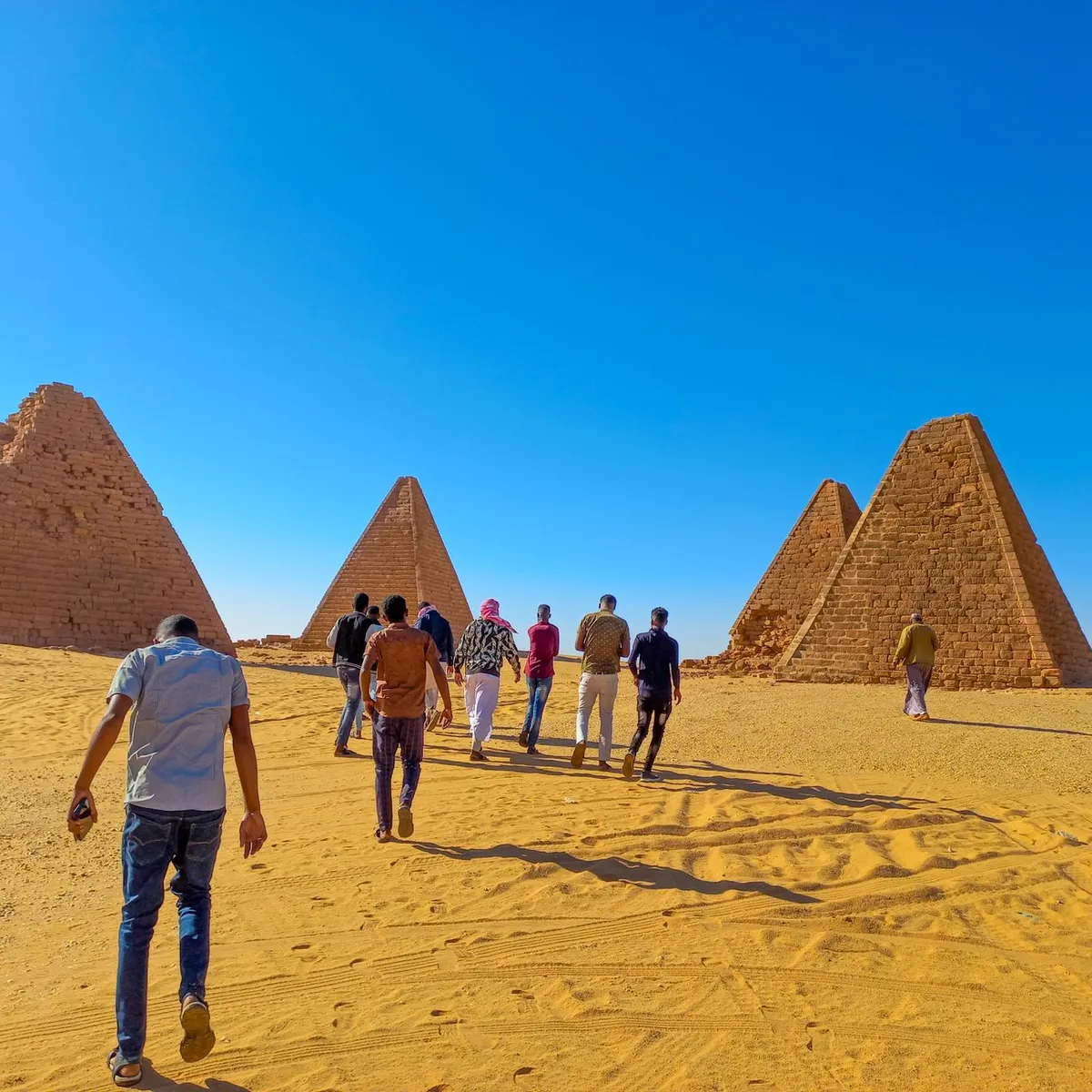
 Photo: Muneeb Yassir / Pexels
Atbara
Atbara accessibility for wheelchair users
Compare Atbara by accessibility, transport, terrain, healthcare, cost, weather, laws, reviews, and community notes.
Atbara accessibility scores
Compare Atbara by accessibility, transport, terrain, healthcare, cost, weather, and laws. General stats use public data and models. Community rows reflect member reviews and votes.
General stats
National benchmarks and estimates — your experience in this city may differ.
Community
Starts from our estimate — thumbs up nudge toward Excellent, down toward Poor. Reviews use 1–5 stars.
These figures combine public statistics, models, and live weather where available. Every city is different — treat this as a guide, and share what you know in the Reviews & Corrections tab.
Profile last updated 7/2/2026.
Atbara wheelchair accessibility guide
Research Atbara for wheelchair users and caregivers: getting around, terrain, healthcare, costs, climate, accessible things to do, and practical caveats before booking.
Last updated 7/2/2026At a glance
Atbara is a River Nile State city in northeastern Sudan, widely known as the Railway City because of its links to Sudan’s railway industry. It sits near the Nile/Atbara River region and has a stronger civic identity than many smaller towns in this part of the queue. For wheelchair users, it is still a high-friction destination: low ramp availability, limited wheelchair transport, hot weather, and uncertain current conditions mean you should plan it as a supported stop, not a spontaneous base.
Getting around
Private vehicle planning is the safest default. Do not assume step-free trains, buses, or taxis; even in a railway city, station access, platform gaps, toilets, and boarding assistance need direct confirmation. If arriving by road, confirm current conditions and whether the driver can handle chair loading. Keep a small daily radius and prioritize destinations with vehicle drop-off directly at the entrance.
Terrain & mobility
OpenTopoData labels the area gently rolling, with only a 0.7% maximum sampled grade and 61 m elevation range, so hills should not be the main barrier. Surfaces are the bigger issue. The OSM pavement sample is high-confidence and dominated by untagged, unpaved, and asphalt ways, with very few clearly good surfaces. Expect broken shoulders, dust, informal curb transitions, and inconsistent shade.
Healthcare & care
The stored healthcare profile lists several OpenStreetMap leads close to the centre: Atbara Teaching Hospital, Atbara Diagnostic Hospital, and Atbara Police Hospital. Verify current operations, entrance access, payment, and whether staff can support transfers or disability-related needs. Keep medication, pressure-care supplies, and a written care summary with you. Home aid is estimated from ~$375/mo, but reliability should be checked through local referrals.
Costs & housing
The database estimate is from ~$2,219/mo. Accessible housing should be treated as a custom search. Ask for video of the building entrance, bathroom, bed height, generator or battery backup, and the path from parking to room. A slightly less central place with a flat entrance and reliable water may be better than a central upstairs apartment.
Climate & comfort
Atbara is hot and dry. Heat management, shade, hydration, and dust protection can determine whether a route is workable. Carry water, plan indoor breaks, and protect wheelchair moving parts from sand and grit.
Accessible things to do
Railway City orientation— Wikipedia identifies Atbara with Sudan’s railway industry. A station-area or railway-history stop is worthwhile only after checking platform, entrance, and security conditions.
Atbara River / Nile-side drive— The city’s regional identity is tied to the Atbara River and Nile corridor. A vehicle-based riverside orientation may be more realistic than a long roll on rough ground.
Central market streets— Markets can be useful for supplies and local life, but go with a host, choose quieter hours, and expect uneven paving and shop steps.
Hospital logistics loop— Because healthcare leads are close to the centre, a practical first outing can be confirming routes to Atbara Teaching Hospital and Atbara Diagnostic Hospital before any leisure stops.
Community & language
Arabic is essential for transport, housing, and care. A local host can make the difference between a workable route and an exhausting one.
Would we recommend it?
Only with support. Atbara’s flatter terrain and healthcare leads are positives, but access remains informal and transport is unlikely to be independently wheelchair-friendly.
These figures combine public statistics, models, and live weather where available. Every city is different — treat this as a guide, and share what you know in the Reviews & Corrections tab.
Profile last updated 7/2/2026.
Reviews & corrections
Share your experience or suggest a data correction. Both appear publicly; admin updates official city scores and costs separately.
Log in to write a review or suggest a correction.
No reviews or corrections yet.