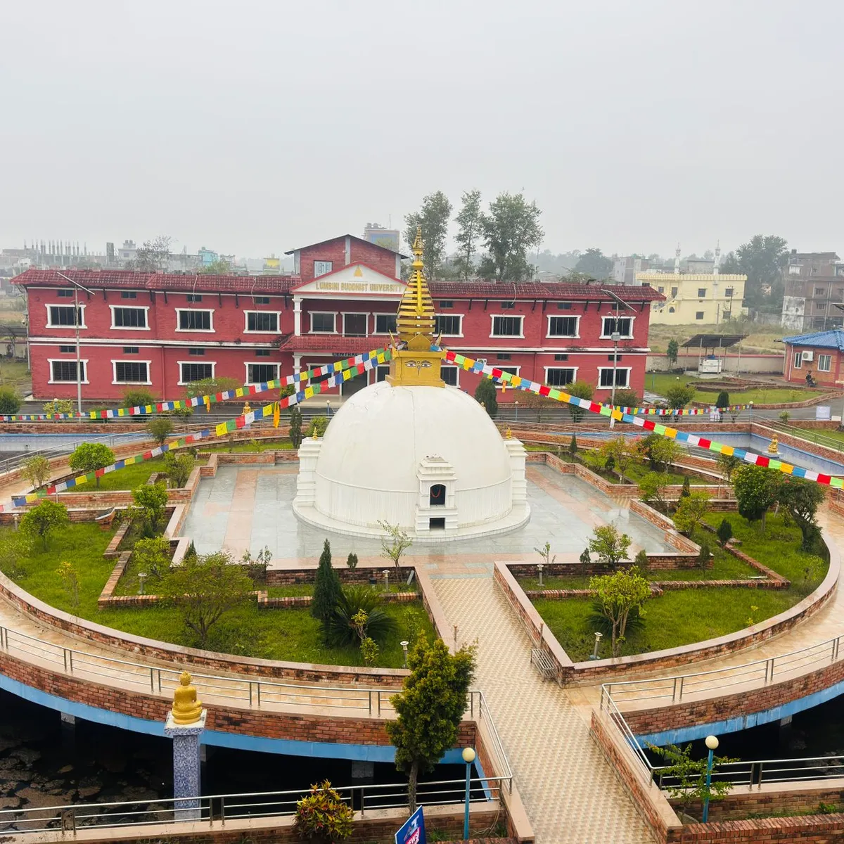
 Photo: CP Khanal / Pexels
Biratnagar
Biratnagar accessibility for wheelchair users
Compare Biratnagar by accessibility, transport, terrain, healthcare, cost, weather, laws, reviews, and community notes.
Biratnagar accessibility scores
Compare Biratnagar by accessibility, transport, terrain, healthcare, cost, weather, and laws. General stats use public data and models. Community rows reflect member reviews and votes.
General stats
National benchmarks and estimates — your experience in this city may differ.
Community
Starts from our estimate — thumbs up nudge toward Excellent, down toward Poor. Reviews use 1–5 stars.
These figures combine public statistics, models, and live weather where available. Every city is different — treat this as a guide, and share what you know in the Reviews & Corrections tab.
Profile last updated 7/1/2026.
Biratnagar wheelchair accessibility guide
Research Biratnagar for wheelchair users and caregivers: getting around, terrain, healthcare, costs, climate, accessible things to do, and practical caveats before booking.
Last updated 7/1/2026At a glance
Biratnagar is a major city in Nepal's eastern Terai, close to the Indian border and better suited to practical errands than classic mountain tourism. RollVenture scores it 49 overall, with from ~$1,489/mo as the cost baseline. The big advantage is terrain: the DB model labels it Mostly Flat, but low infrastructure and pavement scores mean wheelchair users still need door-to-door planning.
Getting around
Wikivoyage lists Biratnagar Airport for flights from Kathmandu and describes local rickshaws, taxis near the airport and hotels, and limited city bus usefulness. For wheelchair access, rely on pre-arranged vehicles rather than rickshaws unless you can transfer safely. Traffic, drainage edges, and broken sidewalks can make short distances slower than the map suggests.
Terrain & mobility
The terrain profile is one of the better parts of the city: average elevation is about 68 m, sampled grades are very low, and the land is flat. Pavement data, however, is low-confidence, with many untagged roads plus asphalt, gravel, and paved segments. After monsoon rains, mud, puddles, and open drains may be bigger barriers than slope.
Healthcare & care
OpenStreetMap-listed healthcare leads include MAX International Hospital and Trauma Center, Saptakoshi Hospital, Green Cross Hospital, and other hospitals close to the centre. Treat them as planning leads, not proof of accessible wards or rehabilitation capacity. If you need regular care, verify step-free entry, lift access, and ambulance routes before choosing a neighborhood.
Costs & housing
The DB estimate is from ~$1,489/mo, including about $608 housing, $265 food, $138 transport, and $108 medical. Costs are relatively low, but accessible housing may be limited. Ask for ground-floor rooms, wet-bathroom photos, generator or inverter backup, and whether the approach road stays usable during heavy rain.
Climate & comfort
The Terai climate can be hot, humid, and monsoon-affected. Heat management matters for wheelchair users, especially if transfers take longer or sidewalks force detours. Plan errands early, keep backup transport, and choose accommodation with reliable cooling and mosquito protection.
Accessible things to do
Central Mall— Wikivoyage identifies it as a major shopping and entertainment hub; it is likely the most practical indoor fallback, but lifts and restroom access should be verified on site.
King Birat's Palace area— Listed by Wikivoyage as a local heritage stop near the India-Nepal border; expect uneven ground and check local access before visiting.
Dream Garden at Pushpalal Chowk— Wikivoyage describes it as a family relaxation and fun-park spot; confirm path surfaces, toilets, and entry thresholds before going.
Bhatbhateni / main commercial avenue errands— Wikivoyage mentions Bhatbhateni and central ATMs; use these as practical, lower-effort stops rather than guaranteed leisure attractions.
Community & language
Nepali is the main language, with Maithili, Hindi, and English useful in different settings. Cross-border commerce gives the city a practical service culture, but disability access is still highly venue-by-venue.
Would we recommend it?
A conditional yes for budget-minded travellers who need a flat eastern Nepal base and can tolerate rough infrastructure. It is not polished or tourist-easy, but the flat terrain, hospitals, airport, and low costs make it workable with strong local support.
These figures combine public statistics, models, and live weather where available. Every city is different — treat this as a guide, and share what you know in the Reviews & Corrections tab.
Profile last updated 7/1/2026.