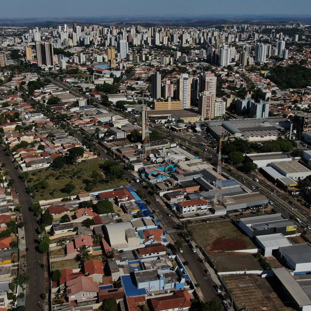
 Photo: Rodolfo Gaion / Pexels
Campinas
Campinas accessibility for wheelchair users
Compare Campinas by accessibility, transport, terrain, healthcare, cost, weather, laws, reviews, and community notes.
Campinas accessibility scores
Compare Campinas by accessibility, transport, terrain, healthcare, cost, weather, and laws. General stats use public data and models. Community rows reflect member reviews and votes.
General stats
National benchmarks and estimates — your experience in this city may differ.
Community
Starts from our estimate — thumbs up nudge toward Excellent, down toward Poor. Reviews use 1–5 stars.
These figures combine public statistics, models, and live weather where available. Every city is different — treat this as a guide, and share what you know in the Reviews & Corrections tab.
Profile last updated 7/1/2026.
Campinas wheelchair accessibility guide
Research Campinas for wheelchair users and caregivers: getting around, terrain, healthcare, costs, climate, accessible things to do, and practical caveats before booking.
Last updated 7/1/2026At a glance
Campinas is a large inland city in São Paulo state with universities, hospitals, parks, and a stronger services base than many Brazilian cities of its size. For wheelchair users it is promising but uneven: the profile shows moderate accessibility and infrastructure, relatively low costs from ~$2,107/mo, and good internet, while safety and hilly terrain need attention. It is better for a planned stay than for spontaneous curb-to-curb wandering.
Getting around
Use ride-hailing or pre-arranged accessible transport for most trips. Buses may have accessible features on some routes, but vehicle condition, curb alignment, and stop design vary. Campinas is spread out, so a good neighborhood choice matters: staying near medical appointments, parks, or shopping centers can reduce the number of risky street transfers.
Terrain & mobility
The DB terrain profile marks Campinas as hilly, with a noticeable elevation range. Pavement sampling is high confidence but mixed: asphalt and paved surfaces exist, yet untagged and unpaved segments are common. Manual wheelchair users should expect driveway slopes, broken sidewalks, and long blocks without ideal curb cuts. Power-chair users still need to think about rain runoff and steep approaches.
Healthcare & care
OpenStreetMap healthcare leads near the center include Amor Saúde, Policlínica 2, Centro de Saúde Mário de Campos Bueno Júnior, Instituto de Radiodiagnóstico Odontológico, and Doctor Med Clinic. Campinas also has a broader regional medical ecosystem, but access should be confirmed clinic by clinic. Ask about elevators, imaging-table transfers, accessible toilets, and whether a companion can assist during appointments.
Costs & housing
The profile estimates monthly living costs from ~$2,107/mo and housing from ~$818/mo. Newer apartment blocks, hotels, and serviced flats are safer bets than older houses for lift access and step-free entries. Because the city is hilly, map the exact block around any rental; a technically accessible apartment can still be impractical if every nearby errand requires a steep sidewalk.
Climate & comfort
Campinas is warm, with heavy summer rain. Heat, thunderstorms, and slick slopes can turn short trips into energy drains. Air conditioning and shaded routes are worth prioritizing.
Accessible things to do
Parque Portugal / Lagoa do Taquaral— A major park and lake area; choose flatter paved sections and confirm toilet access before a long visit.
Jequitibá Woods— A known urban green space; paths and facilities should be verified because park terrain can vary.
Metropolitan Cathedral / city center— A central landmark useful for orientation, but expect older sidewalks and curb-cut gaps nearby.
Shopping Iguatemi or major mall routes— Malls are often the most predictable indoor outings for lifts, toilets, food, and weather protection; confirm accessible taxi drop-off.
Extra planning note: because Campinas is spread out, a hotel with accessible restaurant options nearby can reduce daily transfers and make weather delays less disruptive.
Community & language
Portuguese is the default. English is more likely at universities, private clinics, and international hotels than in street services. A local helper can reduce friction substantially.
Would we recommend it?
Cautiously yes. Campinas has useful services and costs, but the hills and street conditions mean neighborhood selection and transport planning are decisive.
These figures combine public statistics, models, and live weather where available. Every city is different — treat this as a guide, and share what you know in the Reviews & Corrections tab.
Profile last updated 7/1/2026.