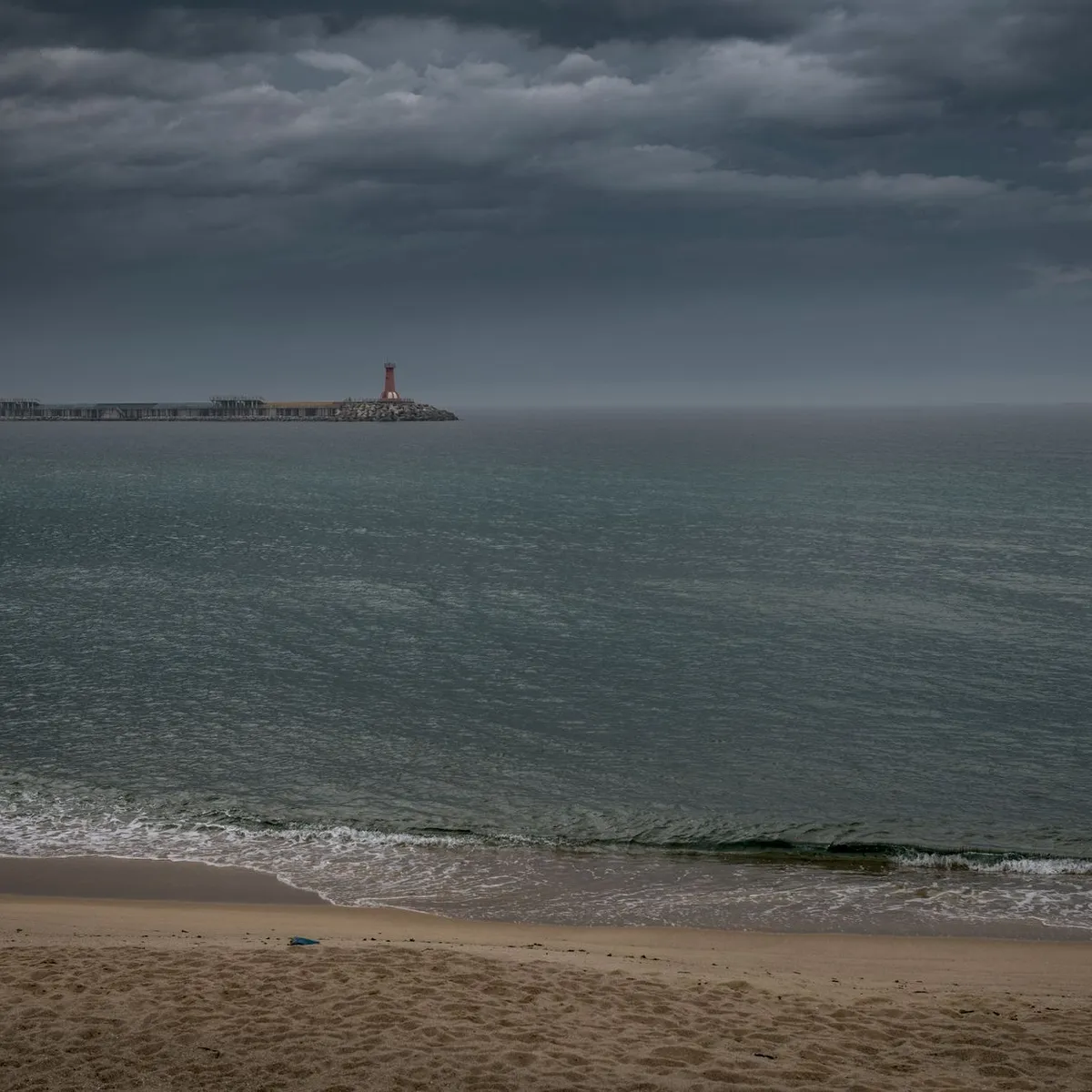
 Photo: 정규송 Nui MALAMA / Pexels
Gangneung
Gangneung accessibility for wheelchair users
Compare Gangneung by accessibility, transport, terrain, healthcare, cost, weather, laws, reviews, and community notes.
Gangneung accessibility scores
Compare Gangneung by accessibility, transport, terrain, healthcare, cost, weather, and laws. General stats use public data and models. Community rows reflect member reviews and votes.
General stats
National benchmarks and estimates — your experience in this city may differ.
Community
Starts from our estimate — thumbs up nudge toward Excellent, down toward Poor. Reviews use 1–5 stars.
These figures combine public statistics, models, and live weather where available. Every city is different — treat this as a guide, and share what you know in the Reviews & Corrections tab.
Profile last updated 6/30/2026.
Gangneung wheelchair accessibility guide
Research Gangneung for wheelchair users and caregivers: getting around, terrain, healthcare, costs, climate, accessible things to do, and practical caveats before booking.
Last updated 6/30/2026At a glance
Gangneung is attractive if you want sea air, cafés, museums, and a slower pace than Seoul, but it is not a simple flat beach town. The live DB profile gives it strong infrastructure and wheelchair-transport scores, yet the terrain sample is very hilly with a large elevation range. That means a wheelchair user should separate the flatter coastal/city corridors from hillside temples, old houses, and viewpoints. Costs are moderate for Korea in the database, from ~$2,601/mo overall and housing from ~$944/mo.
Getting around
Gangneung KTX station is the main long-distance anchor, and local buses/taxis fill the gaps. For wheelchair travel, verify station elevators, accessible taxi availability, and the exact approach to beaches or museums before setting out. Coastal destinations can be spread out, so a car or booked accessible van may make the difference between a pleasant day and a route with unsafe road shoulders.
Terrain & mobility
The city combines coast, lake, urban streets, and steep inland terrain. The DB terrain profile flags very hilly conditions, while the pavement sample is low-confidence and mostly untagged. Plan around known paved promenades, museum entrances, and main streets. Historic compounds may have gravel, timber thresholds, steps, or sloped courtyards even when the destination is otherwise well maintained.
Healthcare & care
OpenStreetMap healthcare leads in the row include local clinics around the center. Treat them as starting points only: call ahead for elevator access, accessible toilets, appointment language, and whether a caregiver can accompany the visit. For specialist or complex care, plan possible trips to larger regional or Seoul hospitals.
Costs & housing
The DB estimate is from ~$2,601/mo total, with housing from ~$944/mo, transport from ~$256/mo, medical from ~$139/mo, and home aid from ~$673/mo. For a longer stay, prioritize newer apartment blocks near transit and daily shopping rather than scenic hillside lodging. Ask for photos or video of building entrances, bathroom thresholds, and the route to waste/recycling areas.
Climate & comfort
Gangneung has humid summers, cold winters, and coastal wind. Winter ice on slopes is the major comfort risk. Summer beach outings are best planned early or late in the day, with shade and accessible toilets confirmed.
Accessible things to do
Gyeongpo Beach and Gyeongpo Lake area— a real signature area for sea/lake views; choose paved promenade sections and verify seasonal beach-mat or wheelchair services locally.
Ojukheon House and Municipal Museum— one of Gangneung's best-known cultural sites; expect a mix of accessible museum areas and historic surfaces, so confirm step-free routes before visiting.
Anmok Coffee Street— a practical outing because cafés cluster along the coast; individual entrances and toilets vary, so pick venues after checking thresholds.
Gangneung Seongyojang— an important historic house complex; visit only with realistic expectations about courtyards, old thresholds, and partial access.
Community & language
Korean is essential for care setup and housing details. Tourism staff may handle basic English in major sites, but accessibility specifics usually need Korean-language confirmation.
Would we recommend it?
Yes, cautiously, for scenic short stays or a prepared longer stay near flat coastal corridors. The city is rewarding, but the hills and historic surfaces mean it needs more route planning than the score alone suggests.
These figures combine public statistics, models, and live weather where available. Every city is different — treat this as a guide, and share what you know in the Reviews & Corrections tab.
Profile last updated 6/30/2026.