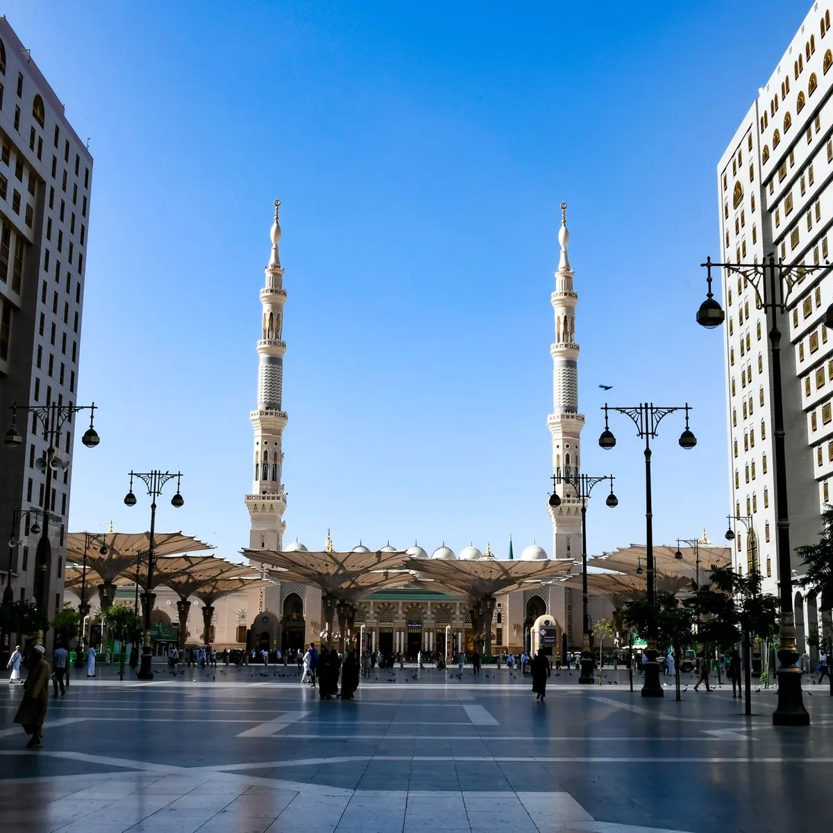
 Photo: Ravish Maqsood / Pexels
Ha'il
Ha'il accessibility for wheelchair users
Compare Ha'il by accessibility, transport, terrain, healthcare, cost, weather, laws, reviews, and community notes.
Ha'il accessibility scores
Compare Ha'il by accessibility, transport, terrain, healthcare, cost, weather, and laws. General stats use public data and models. Community rows reflect member reviews and votes.
General stats
National benchmarks and estimates — your experience in this city may differ.
Community
Starts from our estimate — thumbs up nudge toward Excellent, down toward Poor. Reviews use 1–5 stars.
These figures combine public statistics, models, and live weather where available. Every city is different — treat this as a guide, and share what you know in the Reviews & Corrections tab.
Profile last updated 6/30/2026.
Ha'il wheelchair accessibility guide
Research Ha'il for wheelchair users and caregivers: getting around, terrain, healthcare, costs, climate, accessible things to do, and practical caveats before booking.
Last updated 6/30/2026At a glance
Ha'il is a historically important Saudi city between the Aja and Salma mountains, with recognizable sights, an airport, and a railway station. For wheelchair users it offers more trip anchors than many inland Saudi cities, but it also has hilly terrain and strong summer heat. RollVenture estimates monthly living from ~$2,209/mo, with housing from ~$708/mo.
The city is best approached as a car-assisted base: plan hotels, transport, and attractions individually rather than expecting street-level accessibility everywhere.
Getting around
Public references list Ha'il International Airport and Ha'il railway station on the Riyadh-Qurayyat railway. That gives the city useful arrival options, but accessible travel still requires advance assistance requests and local confirmation. Within the city, use private drivers or taxis. Distances between sights, hospitals, malls, and mountainside viewpoints are not ideal for rolling in heat.
Terrain & mobility
The DB terrain profile labels Ha'il hilly, with a 5.2% max sampled grade and 371 m elevation range. The pavement profile is low-confidence and mostly untagged, so sidewalk reliability is uncertain. Central commercial buildings and malls may be manageable, while older streets, fort areas, and mountain viewpoints can involve slopes, uneven surfaces, or steps. Check each route in daylight first, because a curb or gravel patch near a historic entrance can change the whole plan. A power chair and companion are strongly preferred.
Healthcare & care
OpenStreetMap healthcare leads in the city include مستشفى حائل العام and مستشفى الملك خالد, plus smaller clinics. Use these as leads, not guarantees. Before a long stay, confirm emergency departments, accessible entrances, nearby pharmacies, and whether your accommodation can help with Arabic phone calls or appointments.
Costs & housing
Housing and living costs are moderate for Saudi Arabia. Look for newer hotels or apartment buildings with lifts, level entrances, and shaded drop-off. Ask for proof of bathroom access, door widths, bed height, and elevator size. Avoid scenic hillside properties unless the full access route is confirmed.
Climate & comfort
Ha'il has a hot desert climate, but its altitude makes winters cooler than many Saudi cities and frosts can occur. Summer heat still demands careful scheduling, hydration, shaded transfers, and backup transport.
Accessible things to do
Qishlah Fortress— A major preserved mud-brick fortress in the centre. Verify step-free entry and courtyard surface conditions before visiting.
Samra Mountain viewpoint/park— Public sources describe a road to the summit and a park/lake below; use a vehicle and avoid assuming wheelchair-safe paths.
Barzan Souk area— A central heritage/commercial area; good for atmosphere, but expect crowds, curbs, and uneven pedestrian routes.
Ha'il Museum / Jubbah rock-art permit planning— The museum is a useful cultural anchor; confirm entry access, and treat Jubbah trips as car-based excursions.
Community & language
Arabic is important outside major hotels. The city has strong local identity and hospitality traditions, but access questions still need precise calls and photos.
Would we recommend it?
Conditionally. Ha'il is worthwhile for travelers interested in Saudi history and desert landscapes, but wheelchair users should treat it as assisted, vehicle-based travel rather than independent urban exploration.
These figures combine public statistics, models, and live weather where available. Every city is different — treat this as a guide, and share what you know in the Reviews & Corrections tab.
Profile last updated 6/30/2026.