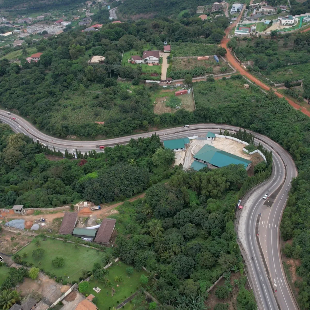
 Photo: The Artboard / Pexels
Isiro
Isiro accessibility for wheelchair users
Compare Isiro by accessibility, transport, terrain, healthcare, cost, weather, laws, reviews, and community notes.
Isiro accessibility scores
Compare Isiro by accessibility, transport, terrain, healthcare, cost, weather, and laws. General stats use public data and models. Community rows reflect member reviews and votes.
General stats
National benchmarks and estimates — your experience in this city may differ.
Community
Starts from our estimate — thumbs up nudge toward Excellent, down toward Poor. Reviews use 1–5 stars.
These figures combine public statistics, models, and live weather where available. Every city is different — treat this as a guide, and share what you know in the Reviews & Corrections tab.
Profile last updated 7/1/2026.
Isiro wheelchair accessibility guide
Research Isiro for wheelchair users and caregivers: getting around, terrain, healthcare, costs, climate, accessible things to do, and practical caveats before booking.
Last updated 7/1/2026At a glance
Isiro is the capital of Haut-Uele in northeastern DR Congo, better suited to essential travel or locally supported stays than casual accessible tourism. Wikipedia verifies that it lies between equatorial forest and savannah, has a coffee economy, and is served by Matari Airport. It also notes that roads can be difficult, especially in the wet season. The RollVenture row is consistent with that: terrain is mostly flat, but infrastructure, ramp availability, and wheelchair transport are low.
Getting around
Plan around a trusted driver, an assistant, and conservative travel windows. Matari Airport provides an arrival point, but airport accessibility should be checked directly before booking. Do not rely on rail: Wikipedia notes the Vicicongo narrow-gauge line to Bumba is not currently operational. Dirt-road conditions can affect regional movement, so avoid tight medical or onward-travel schedules.
Terrain & mobility
Central slope data is favorable: the terrain model says mostly flat, all sampled points flat, and max sampled grade around 0.8%. Surfaces are the challenge. OpenStreetMap pavement confidence is medium, but dominant surfaces include untagged and unpaved roads, with some asphalt. After rain, even mild grades can become slippery or rutted. Wheelchair users should scout every route, carry tire-repair supplies, and build plans around door-to-door transfers.
Healthcare & care
The DB healthcare leads are Lopitalo ya Leta / Hôpital de l'État near the center and another Lopitalo listing farther out, both from OpenStreetMap and both requiring verification. Treat these as starting points for phone checks, not access claims. Bring medications, written French medical summaries, and evacuation planning for specialist care. Personal care should be arranged before arrival through trusted local contacts.
Costs & housing
The DB estimate is from ~$2,250/mo. Because formal accessible rentals are unlikely, housing due diligence should focus on ground-floor access, bathroom dimensions, water reliability, mosquito screens, and vehicle access to the door. Ask for current photos after rain, not just dry-season exterior shots.
Climate & comfort
The forest-savannah setting means heat, humidity, heavy rain, and muddy approaches can affect mobility. Plan short outings, waterproof chair protection, mosquito precautions, and backup indoor rest time.
Accessible things to do
Matari Airport arrival corridor— Verified as Isiro’s airport. It is primarily practical, but a pre-scouted airport-to-lodging route is the most important accessible “activity” to solve first.
Université de l'Uélé area— Wikipedia verifies the university’s creation in Isiro. Campus-area visits may offer clearer destinations than informal markets, but entrances and surface conditions must be checked.
Central civic streets— Isiro’s role as provincial capital makes its central administrative area a useful orientation loop by car, not a guarantee of sidewalks.
Coffee-market context— Wikipedia notes coffee as a main resource. Market visits should be brief, assisted, and planned around crowding and ground conditions.
Community & language
French is important for administration and healthcare; Lingala, Swahili, and Pa-Zande are locally relevant. Carry written access needs and use a local fixer for calls.
Would we recommend it?
Only with strong local support. Flat terrain helps, but transport fragility, rain-sensitive roads, sparse verified accessibility, and limited healthcare depth make Isiro a difficult wheelchair destination.
These figures combine public statistics, models, and live weather where available. Every city is different — treat this as a guide, and share what you know in the Reviews & Corrections tab.
Profile last updated 7/1/2026.