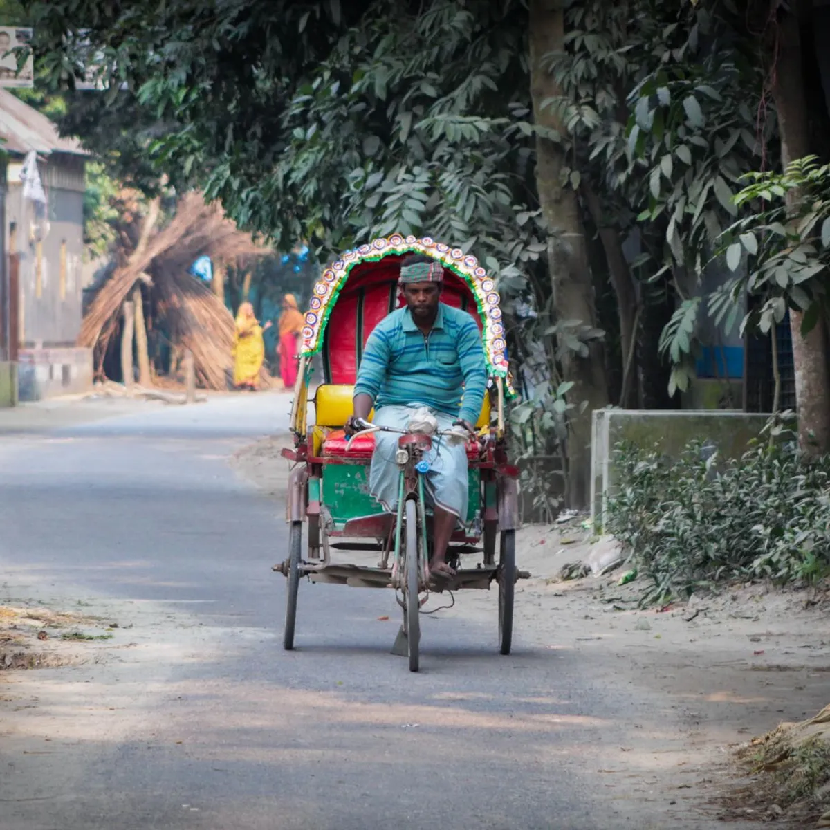
 Photo: Omer Al Faruq / Pexels
Mādārīpur
Mādārīpur accessibility for wheelchair users
Compare Mādārīpur by accessibility, transport, terrain, healthcare, cost, weather, laws, reviews, and community notes.
Mādārīpur accessibility scores
Compare Mādārīpur by accessibility, transport, terrain, healthcare, cost, weather, and laws. General stats use public data and models. Community rows reflect member reviews and votes.
General stats
National benchmarks and estimates — your experience in this city may differ.
Community
Starts from our estimate — thumbs up nudge toward Excellent, down toward Poor. Reviews use 1–5 stars.
These figures combine public statistics, models, and live weather where available. Every city is different — treat this as a guide, and share what you know in the Reviews & Corrections tab.
Profile last updated 7/1/2026.
Mādārīpur wheelchair accessibility guide
Research Mādārīpur for wheelchair users and caregivers: getting around, terrain, healthcare, costs, climate, accessible things to do, and practical caveats before booking.
Last updated 7/1/2026At a glance
Mādārīpur is a river-country city in south-central Bangladesh with low estimated costs, very flat terrain, and difficult infrastructure for wheelchair users. The live row estimates total living costs from ~$1,401/mo, but accessibility, ramp, and wheelchair-transport scores are weak. It may work for family, work, or regional travel with local help; it is not a place to arrive and improvise access.
Getting around
Use a private car or van wherever possible. Local buses, rickshaws, launches, and small vehicles may require lifting or transfers that are unsafe without trained help. Mādārīpur’s district setting includes rivers and road links, so travel times can be disrupted by weather, ferry/bridge routing, and traffic. Keep daily plans compact, with one main errand or outing at a time.
Terrain & mobility
The terrain data is the city’s best feature: mostly flat, around 10 m average elevation, and a sampled maximum grade near 0.3%. Pavement data is low-confidence but includes untagged, asphalt, and paved surfaces. Expect a flat but inconsistent access environment: drainage lips, missing curb cuts, shop thresholds, muddy shoulders after rain, and crowded market approaches. Manual chair users should consider a front-wheel attachment or a strong pusher for rough edges.
Healthcare & care
OpenStreetMap healthcare leads include Niramoy Hospital, Chowdhury Clinic, Madaripur Sadar Hospital, and Planet Hospital, several within about a kilometer of the center. Treat these as leads, not guarantees. Before relying on them, verify emergency hours, ramp or lift access, imaging, pharmacy stock, and whether staff can help with transfers. For complex care, keep Dhaka as the backup.
Costs & housing
The DB estimate shows housing from ~$455/mo and total costs from ~$1,401/mo. Affordability does not guarantee accessibility. Ask for ground-floor access, wide bathroom doors, a shower setup that can be adapted, reliable electricity, and whether the route from car drop-off to the room stays dry in monsoon conditions.
Climate & comfort
The climate cache shows average temperature around 25.4°C, hottest monthly averages near 28.9°C, and about 1,923 mm annual rainfall. Humidity, mosquitoes, and monsoon flooding are the practical concerns. Build in laundry/drying time for cushions and straps, and keep a waterproof bag for medication and chargers.
Accessible things to do
Ariyal Khan riverfront / local river views— a low-cost way to experience the district, but choose firm vehicle-accessible viewpoints and avoid informal boat access unless verified.
Madaripur town market area— useful for everyday life; go with a helper and keep the route short because crowding and thresholds are likely.
District administrative center— can help with orientation and services, though building access is not guaranteed.
Nearby mosque and neighborhood circuits— short local drives or assisted rolls may be more realistic than formal attractions; check entrances and prayer-area steps in advance.
Community & language
Bangla is essential. English may be limited outside healthcare or education settings. A local contact will make transport, repairs, and medical coordination much safer.
Would we recommend it?
Recommended only with local support or a specific reason to be there. The flat terrain and low costs help, but unverified transport and building access keep the risk level high.
These figures combine public statistics, models, and live weather where available. Every city is different — treat this as a guide, and share what you know in the Reviews & Corrections tab.
Profile last updated 7/1/2026.