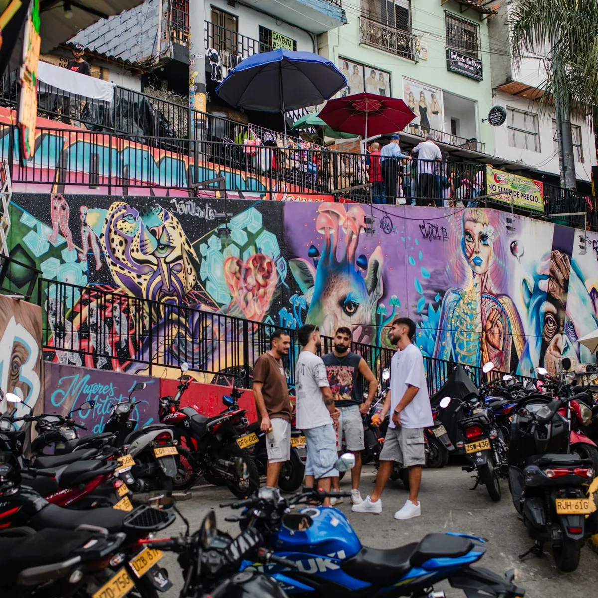
 Photo: Tiarra Sorte / Pexels
Medellín
Medellín accessibility for wheelchair users
Compare Medellín by accessibility, transport, terrain, healthcare, cost, weather, laws, reviews, and community notes.
Medellín accessibility scores
Compare Medellín by accessibility, transport, terrain, healthcare, cost, weather, and laws. General stats use public data and models. Community rows reflect member reviews and votes.
General stats
National benchmarks and estimates — your experience in this city may differ.
Community
Starts from our estimate — thumbs up nudge toward Excellent, down toward Poor. Reviews use 1–5 stars.
These figures combine public statistics, models, and live weather where available. Every city is different — treat this as a guide, and share what you know in the Reviews & Corrections tab.
Profile last updated 7/1/2026.
Medellín wheelchair accessibility guide
Research Medellín for wheelchair users and caregivers: getting around, terrain, healthcare, costs, climate, accessible things to do, and practical caveats before booking.
Last updated 7/1/2026At a glance
Medellín offers strong city energy, improving transit, and good private healthcare, but its valley-and-hills geography is the headline accessibility issue. The RollVenture profile shows accessibility score 41 and very hilly terrain, with sampled grades up to 18.2% and a 1,231 m elevation range. Costs are appealing from ~$1,881/mo, including housing around $672/mo. It can be a good base for wheelchair users who choose a flat neighborhood carefully and rely on elevators, taxis, and planned attractions.
Getting around
Metro de Medellín is the central transport asset, and its official site was checked as an operator source with accessibility information present. In practice, confirm lift status and station access for the exact route before travel. The Metrocable is scenic but transfers, crowds, and station approaches require caution. Ride-hailing is useful for hills, rain, and late returns.
Terrain & mobility
Do not underestimate the slopes. Even if a district looks close on a map, it may involve steep grades or broken approaches. El Poblado, Laureles, and central cultural areas each need block-by-block verification. Pavement data is comparatively decent, with OSM high confidence and 72% good surfaces, but hills can turn a short route into a transfer problem.
Healthcare & care
The row has curated healthcare leads: Hospital Universitario San Vicente Fundación and Clínica Las Américas, with notes indicating accessible main facilities or international-patient support. Verify the relevant department, language, insurance, and transfer access before relying on either. Medellín is one of Colombia’s stronger medical cities, but appointment logistics and traffic still matter.
Costs & housing
The estimate is from ~$1,881/mo. Housing around $672/mo is attractive, but accessible apartments are uneven. Ask for video proof of building entrance, lift, bathroom, shower, hallway width, and the slope immediately outside the door. Paying more for a flat micro-location near transit, groceries, and clinics is usually worth it.
Climate & comfort
Medellín’s springlike climate is a real plus: less heat stress than coastal cities and fewer cold-weather barriers. Rain is common, so plan for slick slopes, drainage channels, and traffic delays.
Accessible things to do
Metro de Medellín / Metrocable route— Use the operator site for current network information and confirm elevators before riding; it is a practical mobility and sightseeing anchor.
Parque Explora— The official site was reachable and includes accessibility-related page features; confirm wheelchair route, exhibits, and toilets before visiting.
Museo de Antioquia and Plaza Botero— A central cultural pairing; verify lift/toilet access at the museum and treat the plaza as a surface-and-crowd check.
Jardín Botánico Joaquín Antonio Uribe— A calmer outdoor option; confirm path surfaces, entrances, and restroom access.
Community & language
Spanish is important for housing, taxis, and clinics. English is more available in medical-tourism and expat contexts, but not universal. Local disability information exists, though visitors should still verify venue details directly.
Would we recommend it?
Yes, selectively. Medellín can be rewarding and affordable, with good healthcare, but only if you solve the hill problem through neighborhood choice and transport planning.
These figures combine public statistics, models, and live weather where available. Every city is different — treat this as a guide, and share what you know in the Reviews & Corrections tab.
Profile last updated 7/1/2026.