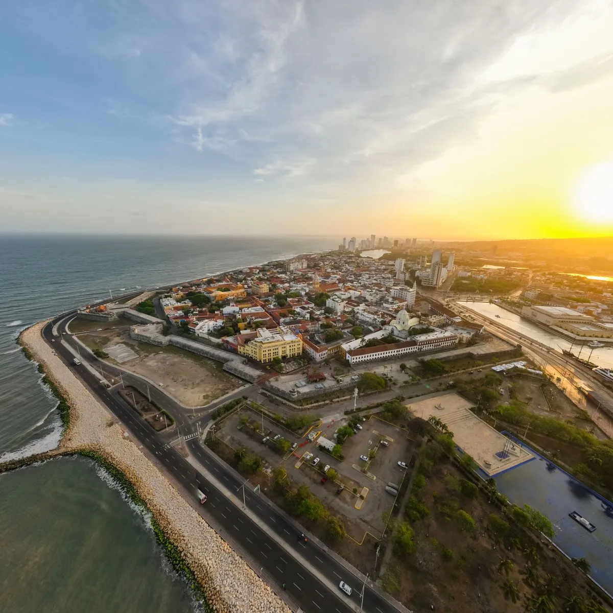
 Photo: K / Pexels
Puerto Cabello
Puerto Cabello accessibility for wheelchair users
Compare Puerto Cabello by accessibility, transport, terrain, healthcare, cost, weather, laws, reviews, and community notes.
Puerto Cabello accessibility scores
Compare Puerto Cabello by accessibility, transport, terrain, healthcare, cost, weather, and laws. General stats use public data and models. Community rows reflect member reviews and votes.
General stats
National benchmarks and estimates — your experience in this city may differ.
Community
Starts from our estimate — thumbs up nudge toward Excellent, down toward Poor. Reviews use 1–5 stars.
These figures combine public statistics, models, and live weather where available. Every city is different — treat this as a guide, and share what you know in the Reviews & Corrections tab.
Profile last updated 7/1/2026.
Puerto Cabello wheelchair accessibility guide
Research Puerto Cabello for wheelchair users and caregivers: getting around, terrain, healthcare, costs, climate, accessible things to do, and practical caveats before booking.
Last updated 7/1/2026At a glance
Puerto Cabello is a Caribbean port city in Carabobo, important as Venezuela's largest and busiest port. For a wheelchair user it is best treated as a practical, low-cost coastal base with real access friction: the live city profile scores accessibility modestly, and the OSM terrain sample flags very hilly approaches around town even though the waterfront itself has flatter sections. Budget from ~$2,646/mo in the RollVenture profile, with housing from ~$1,364/mo. Plan for heat, heavy rain, patchy curb cuts, and limited published venue-access information.
Getting around
Do not assume spontaneous step-free transport. The safest plan is a prearranged driver or hotel/host contact who has seen your chair and transfer needs. The port and waterfront roads are the most likely places to find smoother pavement, while older center streets and routes climbing toward viewpoints may involve broken sidewalks, drainage lips, steep grades, and traffic conflicts. Keep trips short, confirm door-to-door pickup, and build in buffer time for fuel, road checks, and local security advice.
Terrain & mobility
The DB terrain profile, sourced from OpenTopoData, labels the area very hilly, with a sampled max grade around 21% and a large elevation range. OSM pavement sampling has low confidence and shows mostly untagged surfaces, plus asphalt, paving stones, and some cobblestone. That means the main risk is not one impossible hill but the uncertainty between blocks: a route that looks close on a map may include steep ramps, rough crossings, or no usable sidewalk. A power chair or strong assistant support is strongly preferable.
Healthcare & care
OpenStreetMap healthcare leads near the center include Policlínica Urdaneta, Cruz Roja, IVSS Hospital Dr. José Francisco Molina Sierra, and Hospital Dr. Adolfo Prince Lara. Treat these as orientation leads, not access guarantees; call locally to confirm emergency capability, imaging, elevator access, and whether a companion can stay with you. Bring Spanish medical notes, prescriptions, spare chair parts, and a plan for private transport to Valencia or Caracas if your condition needs specialist continuity.
Costs & housing
RollVenture's current cost profile estimates total monthly living around ~$2,646, with housing around ~$1,364. Before booking, ask for current photos of the exact entrance, bathroom turning space, shower threshold, bed height, lift/elevator, and the path from the street. Ground-floor housing near the waterfront or a newer hotel-style property is more realistic than heritage buildings. Generator or water-storage questions are practical, not optional, for longer stays.
Climate & comfort
Open-Meteo climate data in the DB shows warm averages all year, roughly mid-20s to high-20s C, and high annual rainfall. Heat management matters: schedule errands early, carry water, protect electronics and cushions from sudden showers, and avoid long outdoor pushes after rain when curb ramps and street edges may be slick or flooded.
Accessible things to do
Paseo El Malecón— OSM identifies the waterfront promenade/road corridor in the historic center; it is the most logical low-gradient outing, but verify surface condition and traffic barriers locally.
Fortín Solano— Nominatim/OSM lists the historic fort above Puerto Cabello; the view is the draw, but the hill and old fort fabric make this an assistance-only candidate for most wheelchair users.
San Esteban National Park— OSM lists the national park in the municipality; enjoy it as a scenic drive or viewpoint plan unless a local operator confirms a specific step-free stop.
Historic port center— Wikipedia confirms Puerto Cabello's port role; short loops around the older center can be interesting, but expect uneven paving and plan a turnaround point.
Community & language
Spanish is essential for transport, clinics, and housing negotiations. The city may feel friendly in daily interactions, but access advocacy information is not widely published, so a local fixer, host, or medically aware driver can make the difference between a manageable stay and a stressful one.
Would we recommend it?
Recommended only for experienced wheelchair travelers with Spanish support, private transport, and comfort with imperfect infrastructure. Puerto Cabello has real coastal interest and nearby healthcare leads, but steep terrain, rain, safety uncertainty, and sparse access documentation make it a cautious, not easy, base.
These figures combine public statistics, models, and live weather where available. Every city is different — treat this as a guide, and share what you know in the Reviews & Corrections tab.
Profile last updated 7/1/2026.
Reviews & corrections
Share your experience or suggest a data correction. Both appear publicly; admin updates official city scores and costs separately.
Log in to write a review or suggest a correction.
No reviews or corrections yet.