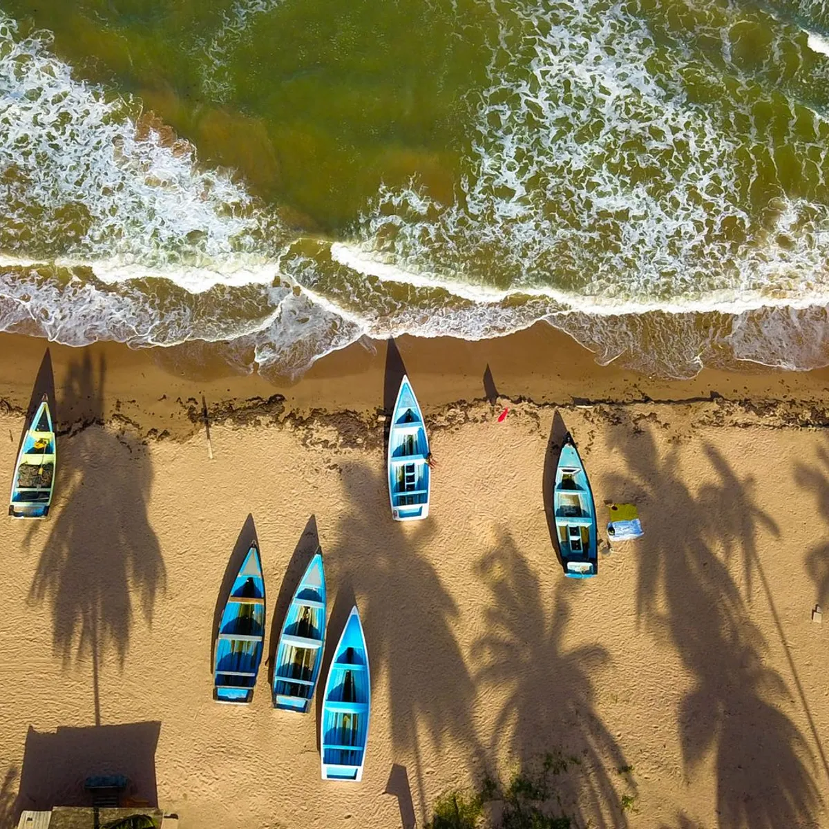
 Photo: GANESH RAMSUMAIR / Pexels
Tete
Tete accessibility for wheelchair users
Compare Tete by accessibility, transport, terrain, healthcare, cost, weather, laws, reviews, and community notes.
Tete accessibility scores
Compare Tete by accessibility, transport, terrain, healthcare, cost, weather, and laws. General stats use public data and models. Community rows reflect member reviews and votes.
General stats
National benchmarks and estimates — your experience in this city may differ.
Community
Starts from our estimate — thumbs up nudge toward Excellent, down toward Poor. Reviews use 1–5 stars.
These figures combine public statistics, models, and live weather where available. Every city is different — treat this as a guide, and share what you know in the Reviews & Corrections tab.
Profile last updated 7/1/2026.
Tete wheelchair accessibility guide
Research Tete for wheelchair users and caregivers: getting around, terrain, healthcare, costs, climate, accessible things to do, and practical caveats before booking.
Last updated 7/1/2026At a glance
Tete is one of the stronger candidates in this live batch because the city’s identity and transport anchors are well documented. Wikipedia describes it as the capital of Tete Province, located on the Zambezi River, historically a Swahili trade center, and the largest city on the Zambezi. The live DB row gives it an overall score of 48, accessibility score of 27, and estimated living costs from ~$2,149/mo. It is still not an easy wheelchair city, but it has clearer orientation points than many smaller rows.
Getting around
Wikipedia notes Chingozi Airport on the northeastern side of the city, a paved runway, and the one-kilometre Samora Machel Bridge as a major highway link. Those are useful for planning, but local wheelchair transport is still weak. Arrange airport assistance, a private driver, and bridge or riverfront stops by vehicle. Do not assume minibuses can board a wheelchair safely.
Terrain & mobility
The DB terrain profile is hilly but mostly flat in sampled points; pavement data is low-confidence and includes untagged, unpaved, asphalt, and dirt surfaces. The main issue is likely heat, traffic, curbs, and inconsistent sidewalks rather than extreme slopes. Scout hotel-to-hospital and hotel-to-market routes before relying on them.
Healthcare & care
The OSM healthcare profile lists Clinica Santa Vitoria and Hospital Provincial de Tete near the city. Verify emergency services, physical access, and referral options before arrival. For ongoing disability care, ask about physiotherapy, pressure-care supplies, catheter or medication availability, and evacuation options to Maputo or another hub.
Costs & housing
The model estimates living from ~$2,149/mo, with housing around $1,113/mo. Pay for location and approach quality: paved entrance, shaded parking, wide bathroom, reliable water, and generator backup. Cheaper housing beyond the central grid may cost more in daily transport friction.
Climate & comfort
Wikipedia lists Tete with a hot semi-arid climate, and the city is well known for heat along the Zambezi valley. Plan midday rest, air conditioning or strong ventilation, hydration, and careful skin protection. Heat can also shorten battery range and increase fatigue for attendants.
Accessible things to do
Samora Machel Bridge / Zambezi crossing— A verified city landmark; best experienced from a vehicle or pre-scouted viewpoint rather than assuming pedestrian access.
Zambezi riverfront orientation— Tete’s river setting is central to the city; choose level, shaded viewpoints and avoid rough banks.
Chingozi Airport— Useful as both arrival point and accessibility pre-check; confirm assistance, toilets, and transfer distances.
Historic Tete trade-center core— Wikipedia documents the city’s long trade history; explore by car with short, step-checked stops.
Hospital Provincial de Tete area— A practical first-day waypoint from the OSM healthcare profile; verify access before any emergency need.
Community & language
Portuguese is essential for healthcare, housing, and government offices. Some English may appear in business or NGO settings, but bring translated medical notes. Local drivers and hotel staff are the best source for current road and bridge conditions.
Would we recommend it?
Cautiously, for travelers who need a western Mozambique base and can manage heat and private transport. Tete’s airport, bridge, and hospital leads help, but independent wheelchair mobility remains limited.
These figures combine public statistics, models, and live weather where available. Every city is different — treat this as a guide, and share what you know in the Reviews & Corrections tab.
Profile last updated 7/1/2026.
Reviews & corrections
Share your experience or suggest a data correction. Both appear publicly; admin updates official city scores and costs separately.
Log in to write a review or suggest a correction.
No reviews or corrections yet.