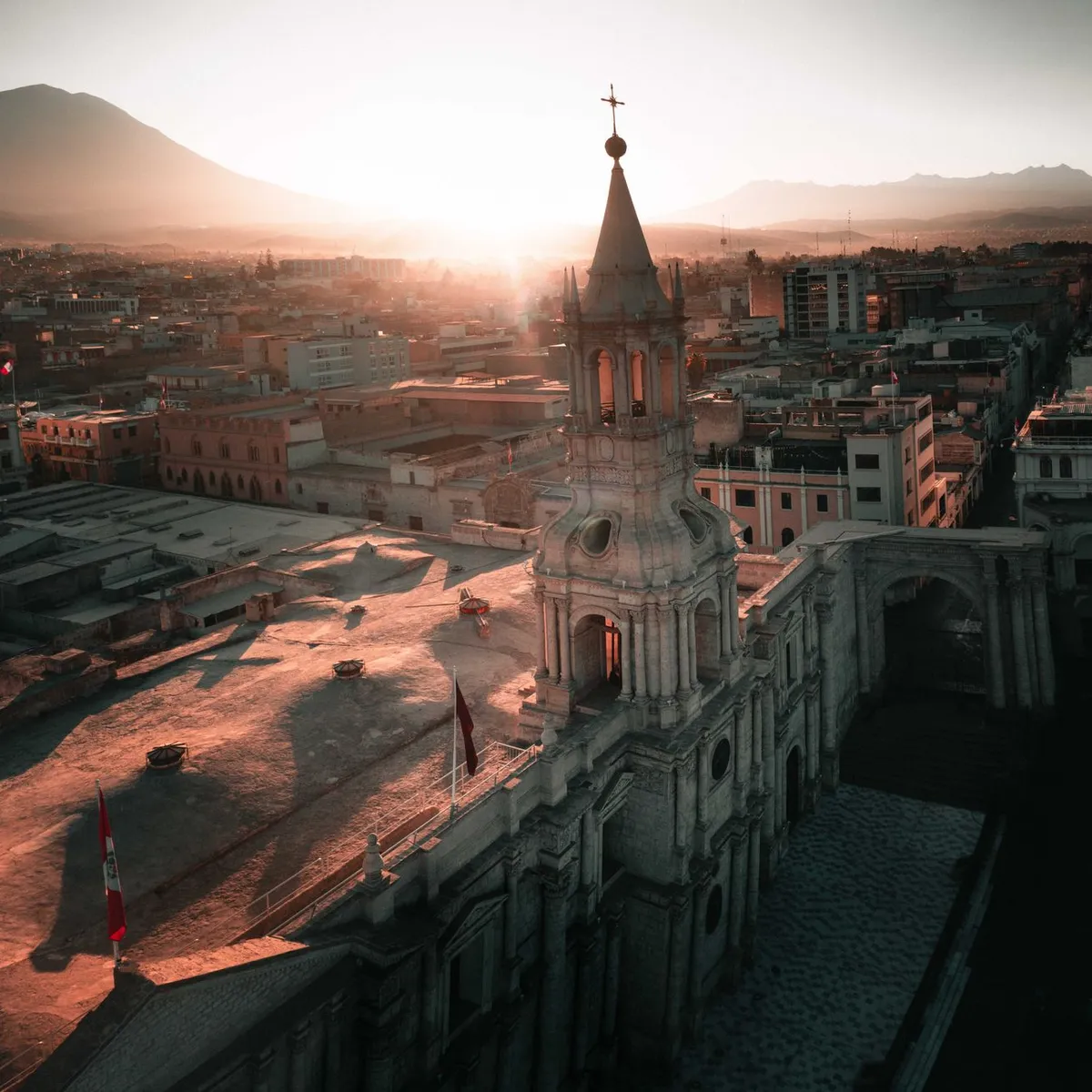
 Photo: Lyon Peru / Pexels
Cajamarca
Cajamarca accessibility for wheelchair users
Compare Cajamarca by accessibility, transport, terrain, healthcare, cost, weather, laws, reviews, and community notes.
Cajamarca accessibility scores
Compare Cajamarca by accessibility, transport, terrain, healthcare, cost, weather, and laws. General stats use public data and models. Community rows reflect member reviews and votes.
General stats
National benchmarks and estimates — your experience in this city may differ.
Community
Starts from our estimate — thumbs up nudge toward Excellent, down toward Poor. Reviews use 1–5 stars.
These figures combine public statistics, models, and live weather where available. Every city is different — treat this as a guide, and share what you know in the Reviews & Corrections tab.
Profile last updated 6/30/2026.
Cajamarca wheelchair accessibility guide
Research Cajamarca for wheelchair users and caregivers: getting around, terrain, healthcare, costs, climate, accessible things to do, and practical caveats before booking.
Last updated 6/30/2026At a glance
Cajamarca is a high-Andean city with strong history, compact central sights, and serious mobility trade-offs. The DB profile is clear about the challenge: very hilly terrain, about 3,099 m average sampled elevation, and a low-confidence pavement sample with many untagged or uneven surfaces. It can still work for a wheelchair user who wants a slower cultural base, but only with hotel-by-hotel access checks, taxi planning, and a companion or driver for steep transfers. Budget from ~$2,056/mo, with housing from ~$923/mo.
Getting around
Plan around taxis rather than spontaneous rolling. Wikivoyage notes that taxis are the normal way to move around town and that minibuses run toward Baños del Inca, but neither should be treated as wheelchair-accessible without direct confirmation. The historic core around Plaza de Armas is the easiest place to concentrate time; outlying sites such as Otuzco or Baños del Inca need a hired vehicle that can handle your chair and transfers.
Terrain & mobility
Cajamarca is not flat. The stored terrain sample labels it Very Hilly, with 0% flat samples and a 12.8% maximum sampled grade. Older streets near churches and markets may mix curbs, stone, narrow sidewalks, traffic, and drainage channels. Choose lodging on or very near the main square, ask for step-free room photos, and avoid assuming that a short map distance is rollable.
Healthcare & care
OpenStreetMap healthcare leads include Clinica Angeles, Hospital II Cajamarca, Clinica San Francisco, Hospital Simón Bolívar, and EsSalud consultorios within roughly two kilometers of the centre. Treat these as starting points, not guarantees: confirm emergency intake, elevator/ramp access, English or Spanish communication, and whether private appointments are possible before relying on them. Bring spare mobility parts if you are heading to archaeological sites.
Costs & housing
The cost profile is moderate for the region: monthly living from ~$2,056, housing from ~$923, transport from ~$174, medical from ~$128, and home aid from ~$408. The bigger housing issue is not price but access. Colonial buildings can be charming but stepped; modern hotels may have elevators but still have curb or bathroom barriers. Ask for measurements, not just “accessible” labels.
Climate & comfort
The elevation keeps Cajamarca cooler and sunnier than lowland Peru, but altitude can be tiring. First days should be light, especially for travelers with respiratory, cardiac, or fatigue concerns. Sun exposure is strong, evenings can be chilly, and rain can make paving stones or compacted surfaces slick.
Accessible things to do
Plaza de Armas and San Francisco area— Wikivoyage identifies the main square and nearby churches as central sights. This is the most practical orientation point; verify curb cuts and church thresholds locally.
Ransom Room / Cuarto del Rescate— A key Atahualpa-related historic site near the central church cluster. Check entrance step details before visiting because colonial fabric often has thresholds.
Santa Apolonia viewpoint— Wikivoyage notes steps up the hill and city views. For wheelchair users, treat this as a drive-up or viewpoint-from-below option unless a local driver confirms a step-free approach.
Baños del Inca— The hot-spring town is a short trip east of Cajamarca. Confirm pool, changing-room, and transfer access directly; do not assume the baths are accessible just because the town is tourist-facing.
Ventanillas de Otuzco— A pre-Inca necropolis with tourism infrastructure and English information plates noted by Wikivoyage. It is still an outdoor archaeological site, so surface, slope, and transfer support should be checked before committing.
Community & language
Spanish is the working language, with Quechua cultural presence in the wider region. Tourism exists, but accessibility vocabulary may be inconsistent, so send photos or diagrams when asking about ramps, bathrooms, and vehicle space.
Would we recommend it?
Yes, cautiously, for travelers who value Andean history and can arrange private transport and central lodging. No, for someone needing independent step-free movement across the city. Cajamarca has excellent cultural anchors, but the terrain means access depends on preparation rather than default infrastructure.
These figures combine public statistics, models, and live weather where available. Every city is different — treat this as a guide, and share what you know in the Reviews & Corrections tab.
Profile last updated 6/30/2026.
Reviews & corrections
Share your experience or suggest a data correction. Both appear publicly; admin updates official city scores and costs separately.
Log in to write a review or suggest a correction.
No reviews or corrections yet.