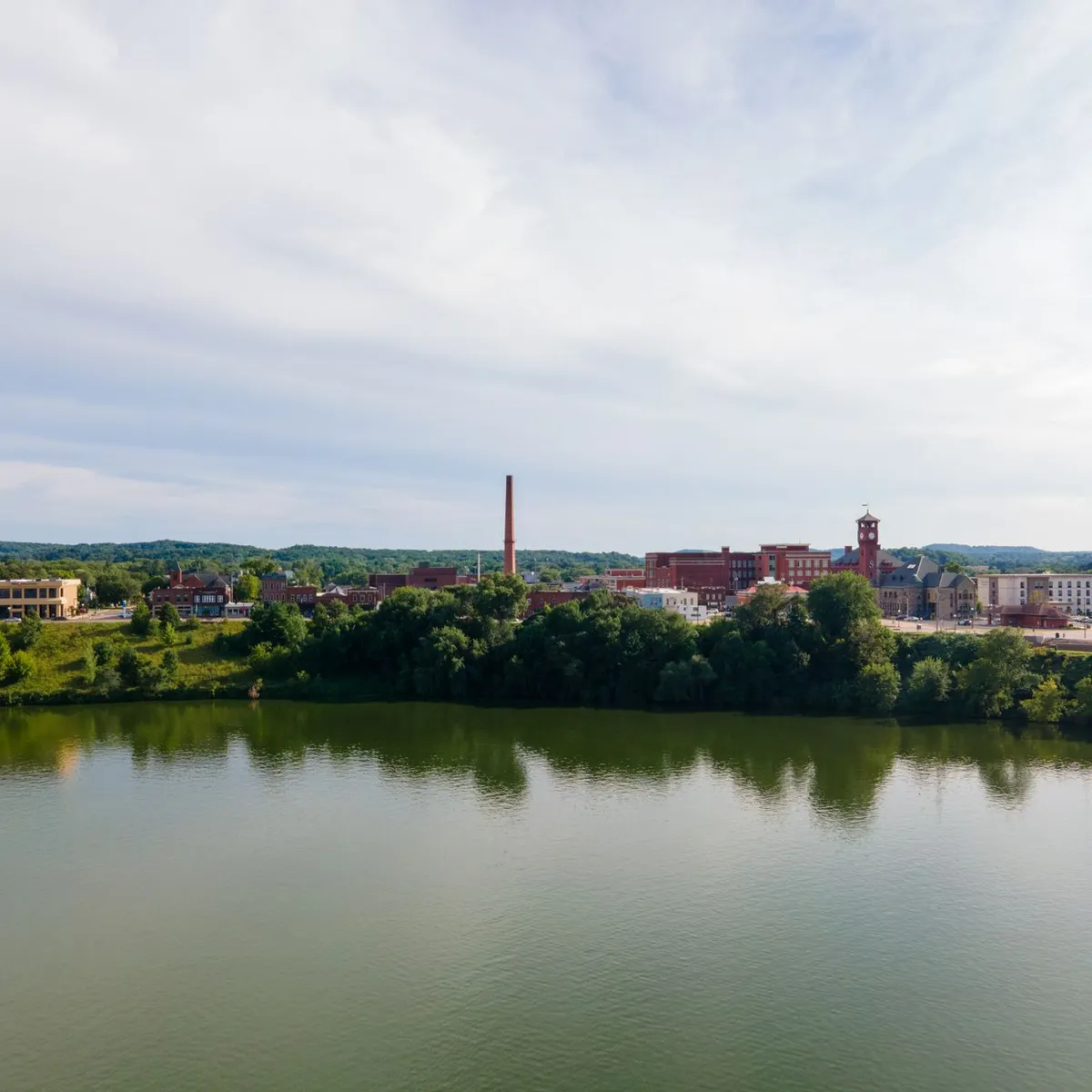
 Photo: Chris Flaten / Pexels
Cedar Rapids
Cedar Rapids accessibility for wheelchair users
Compare Cedar Rapids by accessibility, transport, terrain, healthcare, cost, weather, laws, reviews, and community notes.
Cedar Rapids accessibility scores
Compare Cedar Rapids by accessibility, transport, terrain, healthcare, cost, weather, and laws. General stats use public data and models. Community rows reflect member reviews and votes.
General stats
National benchmarks and estimates — your experience in this city may differ.
Community
Starts from our estimate — thumbs up nudge toward Excellent, down toward Poor. Reviews use 1–5 stars.
These figures combine public statistics, models, and live weather where available. Every city is different — treat this as a guide, and share what you know in the Reviews & Corrections tab.
Profile last updated 6/30/2026.
Cedar Rapids wheelchair accessibility guide
Research Cedar Rapids for wheelchair users and caregivers: getting around, terrain, healthcare, costs, climate, accessible things to do, and practical caveats before booking.
Last updated 6/30/2026At a glance
Cedar Rapids is a medium-sized Iowa city with a manageable scale, solid RollVenture accessibility scores, and useful public transit information from the city. It is a better fit for wheelchair users who want a quieter, lower-density U.S. base than for someone expecting a dense car-free downtown. Current RollVenture costs are from about ~$3,548/mo, with housing from ~$1,463/mo. The terrain profile is gently rolling rather than steep, but winter snow and low-confidence pavement tagging mean you should verify routes around any apartment, clinic, or workplace.
Getting around
Cedar Rapids Transit is the main local bus system. The official city bus page says transit is open to the general public, including persons with disabilities, and it links ADA Paratransit. The Ground Transportation Center downtown is the central hub. Fixed-route travel can be workable if your destinations sit near routes, but evenings, weekends, and winter weather may narrow practical choices. Confirm ramp/lift procedures, paratransit eligibility, and snow-removal policies before relying on transit for medical appointments.
Terrain & mobility
OpenTopoData sampling shows a gentle profile, with a max sampled grade around 1.4% and a modest elevation range. That is encouraging. The pavement dataset is less certain: OSM confidence is low, many surfaces are untagged, and only a small share are tagged good. In practice, downtown and newer corridors may be smoother than older residential streets. Use trial routes rather than map distance alone.
Healthcare & care
The DB healthcare profile lists nearby clinic leads such as Mercy Care 2nd Avenue, UnityPoint Clinic Express, Saint Lukes Surgery Center, and UnityPoint Health Work Well Clinic Therapy Plus. These are OpenStreetMap leads and should be verified for accessible entrances, parking, exam-room access, insurance coverage, and after-hours options. For ongoing care, build redundancy because winter storms can disrupt same-day transport.
Costs & housing
The current cost estimate is from ~$3,548/mo, housing from ~$1,463/mo. Ask landlords for floor plans, elevator or ramp details, snow-clearing responsibilities, and whether sidewalks to the bus stop are maintained. A cheaper unit can become expensive if every errand requires paid rides.
Climate & comfort
Expect cold winters with frequent snow days in the DB climate profile, plus humid, rainy late spring and summer. Heat, storms, and icy curb ramps are the main comfort risks. Plan indoor backup activities and keep extra time for winter paratransit.
Accessible things to do
Cedar Rapids Transit / Ground Transportation Center— Useful mobility anchor for testing fixed-route access and reaching downtown services.
NewBo / downtown riverfront area— A practical outing zone, but verify construction, curb cuts, and event crowds.
Cedar Rapids Museum of Art— A central cultural anchor; check current entrance and elevator details before visiting.
National Czech & Slovak Museum area— Good candidate for a planned half-day outing, with route/access checks in advance.
Community & language
English is the default. The city has a Midwestern service culture, but do not assume staff will know wheelchair-specific details; call ahead with precise questions.
Would we recommend it?
Yes for a cost-conscious U.S. base with moderate terrain and enough transit structure to plan around. It is not a no-research city: winter, sidewalk data gaps, and route coverage make pre-arrival checks important.
These figures combine public statistics, models, and live weather where available. Every city is different — treat this as a guide, and share what you know in the Reviews & Corrections tab.
Profile last updated 6/30/2026.