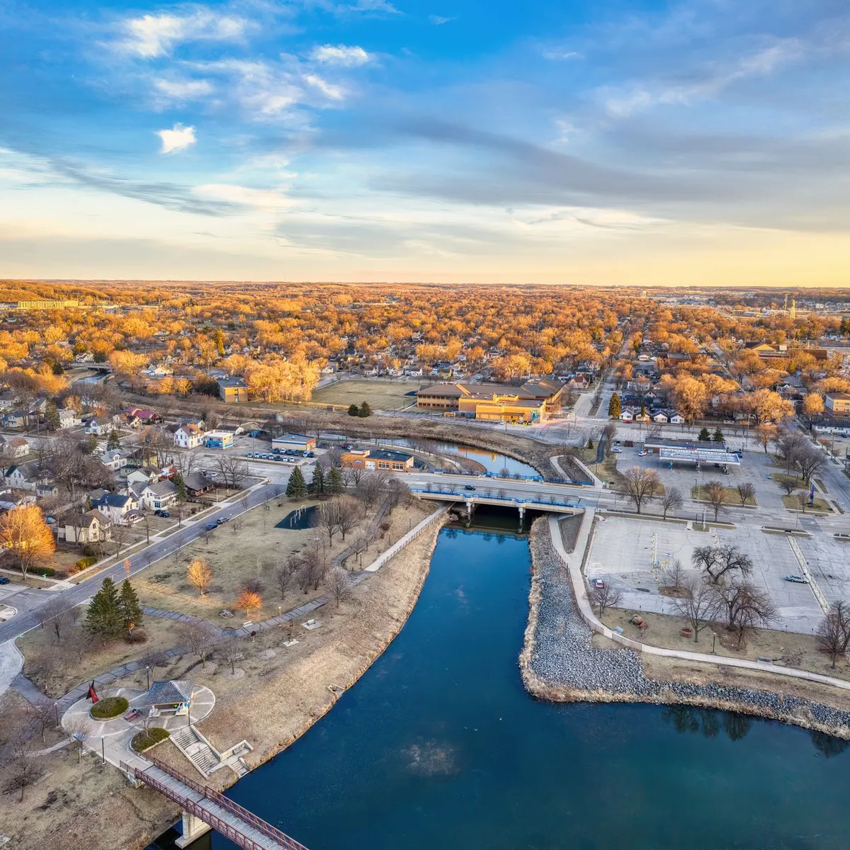
 Photo: Tom Fisk / Pexels
Rochester
Rochester accessibility for wheelchair users
Compare Rochester by accessibility, transport, terrain, healthcare, cost, weather, laws, reviews, and community notes.
Rochester accessibility scores
Compare Rochester by accessibility, transport, terrain, healthcare, cost, weather, and laws. General stats use public data and models. Community rows reflect member reviews and votes.
General stats
National benchmarks and estimates — your experience in this city may differ.
Community
Starts from our estimate — thumbs up nudge toward Excellent, down toward Poor. Reviews use 1–5 stars.
These figures combine public statistics, models, and live weather where available. Every city is different — treat this as a guide, and share what you know in the Reviews & Corrections tab.
Profile last updated 7/2/2026.
Rochester wheelchair accessibility guide
Research Rochester for wheelchair users and caregivers: getting around, terrain, healthcare, costs, climate, accessible things to do, and practical caveats before booking.
Last updated 7/2/2026At a glance
Rochester, Minnesota is one of the stronger practical candidates in this batch because medical access is central to the city. RollVenture shows high accessibility and pavement indicators, and the local government publishes paratransit information. The tradeoff is winter: cold, snow, and ice are serious mobility factors. Current costs are from about ~$3,542/mo, with housing from ~$1,447/mo. If you need specialist care and can plan winter transport carefully, Rochester deserves a close look.
Getting around
Rochester Public Transit is the fixed-route system, and the city’s Accessibility & Paratransit page describes ZIPS as shared-ride transportation for people unable to use fixed-route service because of a disability. That is a useful backup layer for medical trips, but eligibility, reservation rules, service area, and operating hours must be confirmed before arrival. Downtown medical-zone trips may be easier than suburban errands.
Terrain & mobility
OpenTopoData sampling labels the city gently rolling, with a max sampled grade around 1.7% and an 89 m elevation range. OSM pavement data is high confidence and comparatively strong, with 83% tagged good and asphalt/paved surfaces common. Winter is the big equalizer: snow berms, icy curb ramps, and hospital-campus construction can temporarily reduce access even on good streets.
Healthcare & care
The DB healthcare profile lists Mayo Clinic Hospital Methodist Campus, Mayo Clinic Saint Marys Campus, Mayo Eugenio Litta Children’s Hospital, and Olmsted Medical Center leads close to the center. These are OpenStreetMap-derived entries, but the concentration of hospital infrastructure is a real advantage. Still verify patient transport, accessible lodging, transfer equipment, appointment locations, and after-hours pharmacy access.
Costs & housing
The current estimate is from ~$3,542/mo, housing from ~$1,447/mo. Accessible housing near the medical core may carry a premium but can reduce ride dependence. Ask about heated parking, snow removal, elevator backup, roll-in showers, and indoor connections where available.
Climate & comfort
Winters are very cold and snowy in the DB climate profile, with frequent snowy days from December through March. Summers are milder but wet enough that drainage and covered routes still matter. A winter visit or local video walkthrough is valuable before signing a lease.
Accessible things to do
Mayo Clinic / downtown medical district— The city’s strongest practical anchor; verify exact building access for appointments.
Rochester Public Transit and ZIPS— Useful mobility systems to test before relying on them for daily life.
Rochester Art Center / downtown cultural core— Good candidate for a low-distance outing, with access checks for current hours and entrances.
Parks and river trails near downtown— Potentially pleasant in warm months, but surface, slope, snow, and restroom access vary by segment.
Community & language
English is primary. Because the city receives patients and caregivers from many places, service providers are often used to medical visitors, but housing and transport still require exact accessibility questions.
Would we recommend it?
Yes, especially for wheelchair users who prioritize healthcare access and can handle winter planning. It is less ideal for someone seeking a warm climate or spontaneous outdoor mobility year-round.
These figures combine public statistics, models, and live weather where available. Every city is different — treat this as a guide, and share what you know in the Reviews & Corrections tab.
Profile last updated 7/2/2026.