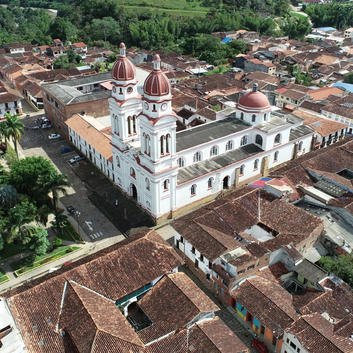
 Photo: wil / Pexels
Fusagasugá
Fusagasugá accessibility for wheelchair users
Compare Fusagasugá by accessibility, transport, terrain, healthcare, cost, weather, laws, reviews, and community notes.
Fusagasugá accessibility scores
Compare Fusagasugá by accessibility, transport, terrain, healthcare, cost, weather, and laws. General stats use public data and models. Community rows reflect member reviews and votes.
General stats
National benchmarks and estimates — your experience in this city may differ.
Community
Starts from our estimate — thumbs up nudge toward Excellent, down toward Poor. Reviews use 1–5 stars.
These figures combine public statistics, models, and live weather where available. Every city is different — treat this as a guide, and share what you know in the Reviews & Corrections tab.
Profile last updated 7/2/2026.
Fusagasugá wheelchair accessibility guide
Research Fusagasugá for wheelchair users and caregivers: getting around, terrain, healthcare, costs, climate, accessible things to do, and practical caveats before booking.
Last updated 7/2/2026At a glance
Fusagasugá is a Colombian city southwest of Bogotá, known as the “Garden City” in local tourism material and set in the Andean foothills. RollVenture’s row gives it an overall score of 56 and accessibility score of 43, with costs from ~$1,686/mo. The low accessibility score makes sense: the terrain profile is “Very Hilly,” with an average elevation above 2,000 m and a sampled maximum grade around 16.3%.
Getting around
Plan around door-to-door taxis or a hired driver rather than assuming spontaneous accessible transit. Bogotá access may be useful for specialist care, but the road trip and mountain conditions should be factored into medical planning. Within town, pick lodging close to clinics and errands; even short distances can involve steep grades, uneven paving, or missing curb cuts.
Terrain & mobility
Terrain is the central challenge. The pavement profile has medium confidence and some asphalt/paving-stone data, but the slope profile is unforgiving for manual wheelchair users and can strain batteries on power chairs. Scout routes around Parque Principal, clinic approaches, and grocery streets before committing to a neighborhood. Rain can make steep paving and curb edges more difficult.
Healthcare & care
OpenStreetMap healthcare leads include E.S.E Hospital San Rafael de Fusagasugá and Centro de Atención Ambulatoria, with several other medical points near the center. These are useful for triage planning, but verify emergency access, specialists, and step-free entrances. For complex care, plan a Bogotá backup pathway before arrival.
Costs & housing
The row estimates monthly living costs from ~$1,686/mo, housing from ~$579/mo, transport from ~$171/mo, medical from ~$122/mo, and home aid from ~$401/mo. Lower rent is attractive, but accessible housing is not just an indoor issue here: a flat apartment behind a steep street can still be impractical. Ask for videos from the street to the bed and bath, not just interior photos.
Climate & comfort
The altitude creates milder temperatures than many lowland cities, which may help with heat sensitivity. However, rain, cool evenings, and steep wet surfaces can complicate mobility. Choose housing with reliable hot water, accessible indoor space for bad-weather days, and nearby delivery options.
Accessible things to do
Parque Principal / central square— a practical first route test; check slopes and curb cuts around the square.
Avenida Las Palmas— a recognizable central corridor; use it selectively, because slopes and traffic crossings matter more than the name.
Hacienda Coloma coffee estate— often associated with Fusagasugá tourism; contact ahead for step-free route details and accessible bathroom status.
Local garden/nursery visits— the city’s garden identity can be enjoyable with a driver, but verify surfaces and entrances at each site.
Community & language
Spanish is the everyday language. Tourist-facing businesses may be patient, but accessibility vocabulary is easiest if written down in Spanish: rampa, entrada sin escalón, baño amplio, ascensor, and silla de ruedas.
Would we recommend it?
Only with careful route planning. Fusagasugá has lower costs, a real hospital lead, and pleasant climate, but the hills are a major barrier. It suits wheelchair users with local support, a driver, and a specific reason to be near Bogotá’s southwest corridor more than independent first-time accessible travelers.
These figures combine public statistics, models, and live weather where available. Every city is different — treat this as a guide, and share what you know in the Reviews & Corrections tab.
Profile last updated 7/2/2026.