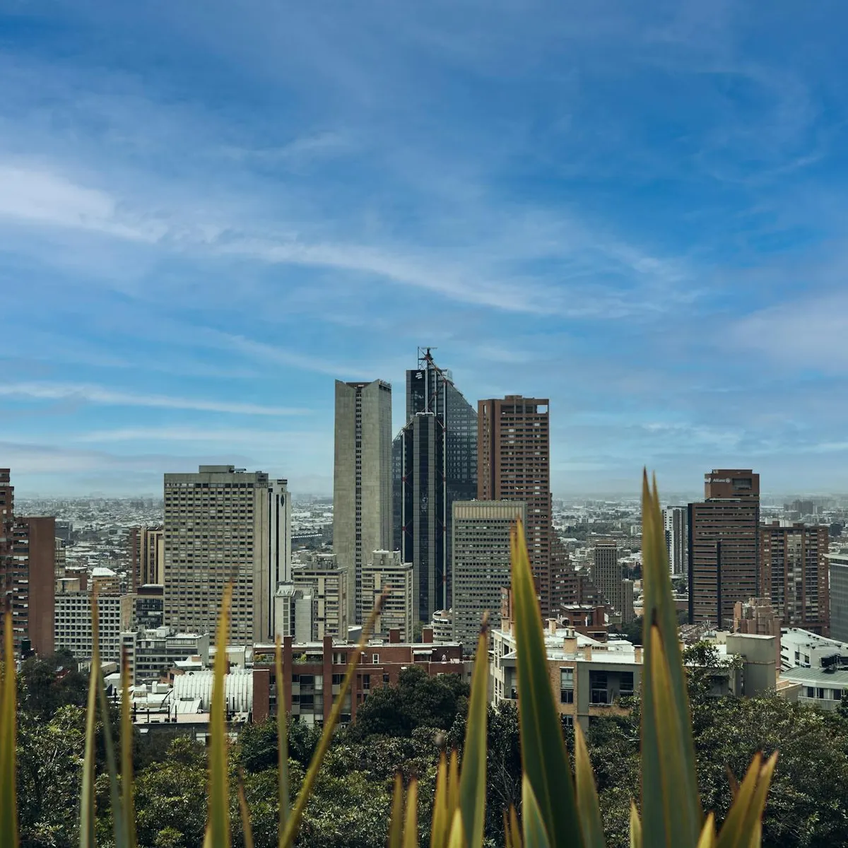
 Photo: Juan Pablo Mayorga Vásquez / Pexels
Bogotá
Bogotá accessibility for wheelchair users
Compare Bogotá by accessibility, transport, terrain, healthcare, cost, weather, laws, reviews, and community notes.
Bogotá accessibility scores
Compare Bogotá by accessibility, transport, terrain, healthcare, cost, weather, and laws. General stats use public data and models. Community rows reflect member reviews and votes.
General stats
National benchmarks and estimates — your experience in this city may differ.
Community
Starts from our estimate — thumbs up nudge toward Excellent, down toward Poor. Reviews use 1–5 stars.
These figures combine public statistics, models, and live weather where available. Every city is different — treat this as a guide, and share what you know in the Reviews & Corrections tab.
Profile last updated 6/30/2026.
Bogotá wheelchair accessibility guide
Research Bogotá for wheelchair users and caregivers: getting around, terrain, healthcare, costs, climate, accessible things to do, and practical caveats before booking.
Last updated 6/30/2026At a glance
Bogotá offers major-city services, cultural depth, and a large bus rapid transit system, but it is physically demanding for many wheelchair users. The RollVenture row shows from ~$2,737/mo living cost, good mapped pavement samples, and a very hilly terrain profile with only 32% flat samples. The best strategy is to stay in flatter, well-served districts, use door-to-door transport for hills and rain, and treat TransMilenio as useful only after confirming the exact station and platform access.
Getting around
TransMilenio is Bogotá's high-capacity BRT backbone, and the official site provides route planning, station maps, travel guides, and operational notices. Accessibility is uneven in practice: station crowding, bridge access, curb conditions, and platform congestion can make a technically step-free trip stressful. Use TransMiApp or official route tools for planning, but keep taxi or private accessible transport as the fallback.
Terrain & mobility
The terrain profile is the core warning: maximum sampled grade is 11%, the city sits at high altitude, and only about a third of sampled points were flat. Pavement sampling is high-confidence and mostly good, but slopes, ramps, broken curb cuts, and rain can still dominate the experience. Plan shorter outings with rest points rather than assuming a neighborhood is rollable because it is central.
Healthcare & care
The DB healthcare profile lists OSM leads such as Clínica SaludCoop Policarpa, Clínica de Cancer de Bogotá, and other clinics or hospitals in the wider urban area; verify access, specialty, and current operations directly. Bogotá has substantial private healthcare, but altitude can matter for respiratory and cardiac conditions, and emergency transfer times vary with traffic.
Costs & housing
Use the DB cost as from ~$2,737/mo, with housing from ~$1,477/mo. Ask for video proof of building entry, elevator size, bathroom turning space, hot water reliability, and the slope from the door to the street. A slightly more expensive apartment on a flatter block may be worth it.
Climate & comfort
Bogotá is cool and often wet. Rain turns ramps and paving into slip hazards, and the altitude can increase fatigue. Sun exposure can still be strong at elevation, so pack layers and allow recovery time.
Accessible things to do
Gold Museum / Museo del Oro area— A major central museum anchor; verify museum access and avoid peak crowd times.
Botero Museum / La Candelaria cultural cluster— Important cultural sites sit close together, but old-center slopes and paving need careful routing.
Simón Bolívar Metropolitan Park— A flatter outdoor option with broad paths in parts; check entry points and accessible bathrooms.
TransMilenio station-map outing— For transit-oriented travelers, a pre-checked route using official station maps can be an activity itself, but only when lift/bridge access is verified.
Community & language
Spanish is essential for daily problem-solving. Bogotá has universities, hospitals, and international business services, but disability-specific local advice is often informal and best gathered through hotels, clinics, or local contacts.
Would we recommend it?
Only with caveats. Bogotá can work for a traveler who can manage altitude, hills, and backup transport planning. For someone seeking a low-friction wheelchair city, the terrain and BRT crowding make it a harder recommendation.
These figures combine public statistics, models, and live weather where available. Every city is different — treat this as a guide, and share what you know in the Reviews & Corrections tab.
Profile last updated 6/30/2026.