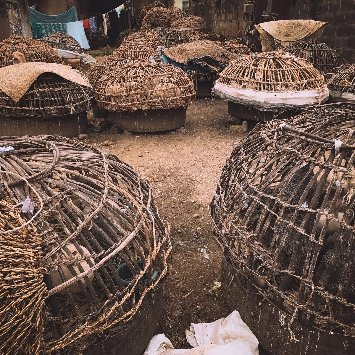
 Photo: Tope J. Asokere / Pexels
Lokossa
Lokossa accessibility for wheelchair users
Compare Lokossa by accessibility, transport, terrain, healthcare, cost, weather, laws, reviews, and community notes.
Lokossa accessibility scores
Compare Lokossa by accessibility, transport, terrain, healthcare, cost, weather, and laws. General stats use public data and models. Community rows reflect member reviews and votes.
General stats
National benchmarks and estimates — your experience in this city may differ.
Community
Starts from our estimate — thumbs up nudge toward Excellent, down toward Poor. Reviews use 1–5 stars.
These figures combine public statistics, models, and live weather where available. Every city is different — treat this as a guide, and share what you know in the Reviews & Corrections tab.
Profile last updated 7/1/2026.
Lokossa wheelchair accessibility guide
Research Lokossa for wheelchair users and caregivers: getting around, terrain, healthcare, costs, climate, accessible things to do, and practical caveats before booking.
Last updated 7/1/2026At a glance
Lokossa is a commune and city in Benin’s Mono Department, close enough to the coast and the Mono valley to work as a practical regional base. For wheelchair users, it should be approached cautiously: the RollVenture row estimates living costs from ~$2,240/mo, but accessibility, ramp, and wheelchair-transport scores are low. The city’s strengths are gentle terrain, local hospitals, warm community context, and short urban distances; the weak points are unverified sidewalks, limited accessible lodging, and scarce published accessibility information.
Getting around
Plan around private taxis, hired drivers, or a trusted local contact rather than spontaneous public transport. Zemidjan motorcycle taxis are common in Benin but generally unusable for most wheelchair users. Ask hotels or hosts to arrange a car with enough room for your chair and confirm whether drivers can help with transfers without lifting unsafely. For trips toward Grand-Popo, Ouidah, or Cotonou, build in rest stops because road shoulders and toilets may not be accessible.
Terrain & mobility
The DB terrain profile is manageable: gently rolling, average elevation around 26 m, and about 1.2% maximum sampled grade. Pavement confidence is low, however, with many untagged, unpaved, dirt, and paved surfaces. That means the access question is less about hills and more about drainage, broken shoulders, sand, informal shop entries, and the route from vehicle drop-off to destination.
Healthcare & care
OpenStreetMap healthcare leads include Centre Hospitalier Départemental du Mono (CHD MONO), Hôpital de zone de Lokossa, Mission médicale chinoise, and several smaller centers nearby. Verify access directly: entrances, bed height, imaging, pharmacy stock, and whether staff can support safe transfers. For specialist care, plan a Cotonou backup.
Costs & housing
Estimated housing is from ~$1,156/mo, with total living costs from ~$2,240/mo. Accessible rental inventory will be informal and photo-dependent. Ask for a ground-floor room, no steps from gate to bed, a bathroom wide enough for your chair, nearby pharmacy access, and generator or power-backup details if equipment charging is critical.
Climate & comfort
The climate cache shows average temperature around 26.9°C, roughly 1,212 mm annual rain, and no snow. Heat, humidity, rain, and soft shoulders are the main comfort issues. Schedule errands early, protect cushion covers from rain, and keep a clean indoor transfer area.
Accessible things to do
Lokossa town center— best for low-key errands and people-watching by car or short assisted rolls; check sidewalks block by block.
Mono Department administrative area— useful for orientation and services, but access will vary by building.
Grand-Popo day trip— a regional coastal excursion from Lokossa; beach sand is a major barrier, so treat it as a car-based scenic trip unless a venue confirms hard-surface access.
Ouidah heritage route— possible as a longer private-driver outing; confirm museum, memorial, and restroom access before departure.
Community & language
French is the most useful administrative language; Fon and other local languages may appear in daily life. English is limited outside tourism and NGOs.
Would we recommend it?
Only as a supported regional base, not as a polished accessible destination. Lokossa’s gentle terrain helps, but the lack of published venue accessibility means every important route needs pre-checking.
These figures combine public statistics, models, and live weather where available. Every city is different — treat this as a guide, and share what you know in the Reviews & Corrections tab.
Profile last updated 7/1/2026.
Reviews & corrections
Share your experience or suggest a data correction. Both appear publicly; admin updates official city scores and costs separately.
Log in to write a review or suggest a correction.
No reviews or corrections yet.