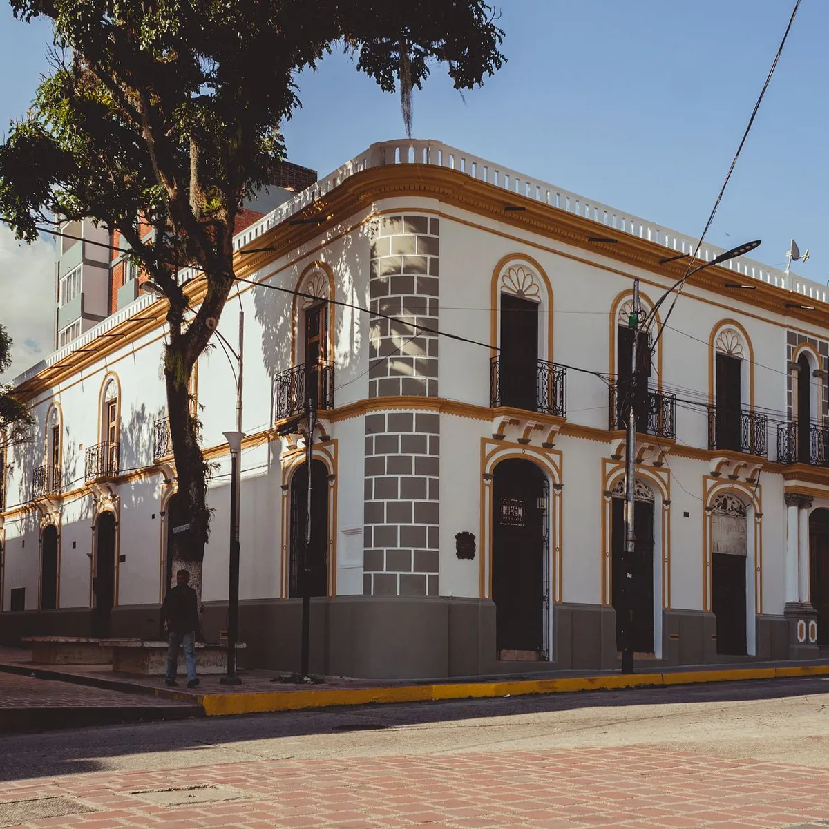
 Photo: Arturo Añez. / Pexels
Los Teques
Los Teques accessibility for wheelchair users
Compare Los Teques by accessibility, transport, terrain, healthcare, cost, weather, laws, reviews, and community notes.
Los Teques accessibility scores
Compare Los Teques by accessibility, transport, terrain, healthcare, cost, weather, and laws. General stats use public data and models. Community rows reflect member reviews and votes.
General stats
National benchmarks and estimates — your experience in this city may differ.
Community
Starts from our estimate — thumbs up nudge toward Excellent, down toward Poor. Reviews use 1–5 stars.
These figures combine public statistics, models, and live weather where available. Every city is different — treat this as a guide, and share what you know in the Reviews & Corrections tab.
Profile last updated 7/2/2026.
Los Teques wheelchair accessibility guide
Research Los Teques for wheelchair users and caregivers: getting around, terrain, healthcare, costs, climate, accessible things to do, and practical caveats before booking.
Last updated 7/2/2026At a glance
Los Teques is a cool, mountain-side capital for Miranda state, close enough to Caracas to share some metro-region services but physically very different from a flat urban grid. The live city row scores it as low-to-moderate for wheelchair users: affordable by RollVenture standards only in some categories, but with very hilly terrain, mixed pavement data, and limited confidence around step-free transport. Treat it as a place for travelers who already have strong local support, Spanish-language help, and a flexible plan rather than a low-friction first stop.
Getting around
Los Teques is linked to Caracas by the Los Teques Metro, inaugurated in 2006 and connected with the Caracas Metro system, so the rail corridor is the main public-transport fact to investigate before arrival. Do not assume every station, elevator, or transfer is working on the day you travel; ask a local contact or the operator about lift status, ramps, and crowding. Local trips will often still need a car, taxi, or arranged driver because the city sits in the Cordillera de la Costa and streets can be steep.
Terrain & mobility
This is the hardest part of Los Teques. The DB terrain profile labels the area very hilly, with a high elevation range and sampled grades that can be unsuitable for manual wheelchair travel. Pavement data is medium-confidence and mixed: asphalt exists, but untagged, dirt, and unpaved segments also appear in the OSM-derived sample. Plan routes block by block, avoid relying on a single sidewalk path, and build in transfer help for kerbs, broken surfaces, and slopes.
Healthcare & care
OSM-derived healthcare leads near the center include Sanidad, Ambulatorio Dr. Francisco Risquez, Ambulatorio, and Centro Medico Docente el Paso. Treat these as starting points, not guarantees: verify emergency capacity, entrances, lift access, payment rules, and whether a companion can stay with you. For specialist care, many travelers will compare options in the wider Caracas metro area before choosing Los Teques as a base.
Costs & housing
The row estimates monthly living cost from ~$2,649/mo, with housing from ~$1,365/mo. Because hills and building age matter so much here, accessible housing should be verified by video: entrance slope, elevator dimensions, backup power, bathroom doorway width, shower setup, and whether a car can stop close to the door. A cheaper apartment up a steep street can become expensive if every outing needs extra help.
Climate & comfort
At about 1,169 m above sea level, Los Teques is cooler than many lowland Venezuelan cities. Wikipedia gives an average temperature range of about 18-26°C, which is comfortable for heat-sensitive travelers. Rain and hillside drainage can still make ramps, painted kerbs, and uneven sidewalks slippery, so wet-season route checks matter.
Accessible things to do
Plaza Bolívar de Los Teques— a central orientation point shown in city imagery; verify paving, kerb cuts, and crowd levels before planning a long stay.
Los Teques Cathedral— a documented city landmark; call ahead or send someone to check entrance steps and seating space.
Parque Gustavo Knoop / Los Coquitos— a named local park in the Wikipedia image set; use it only after confirming path surfaces and gradients.
Paseo Lamas— a central public-space reference in city imagery; best treated as a short scouting route rather than a guaranteed accessible promenade.
Community & language
Spanish is essential for arranging transport, medical checks, and housing access. Los Teques is part of Greater Caracas, which helps with services and contacts, but it is still a local city where informal confirmation often matters more than online accessibility labels.
Would we recommend it?
Only with caveats. Los Teques has metro-region advantages, cooler weather, and real civic landmarks, but the hills and uncertain step-free details make it a challenging wheelchair base. It is more realistic for visitors with local support, a driver, and pre-checked accommodation than for independent roll-in travel.
These figures combine public statistics, models, and live weather where available. Every city is different — treat this as a guide, and share what you know in the Reviews & Corrections tab.
Profile last updated 7/2/2026.