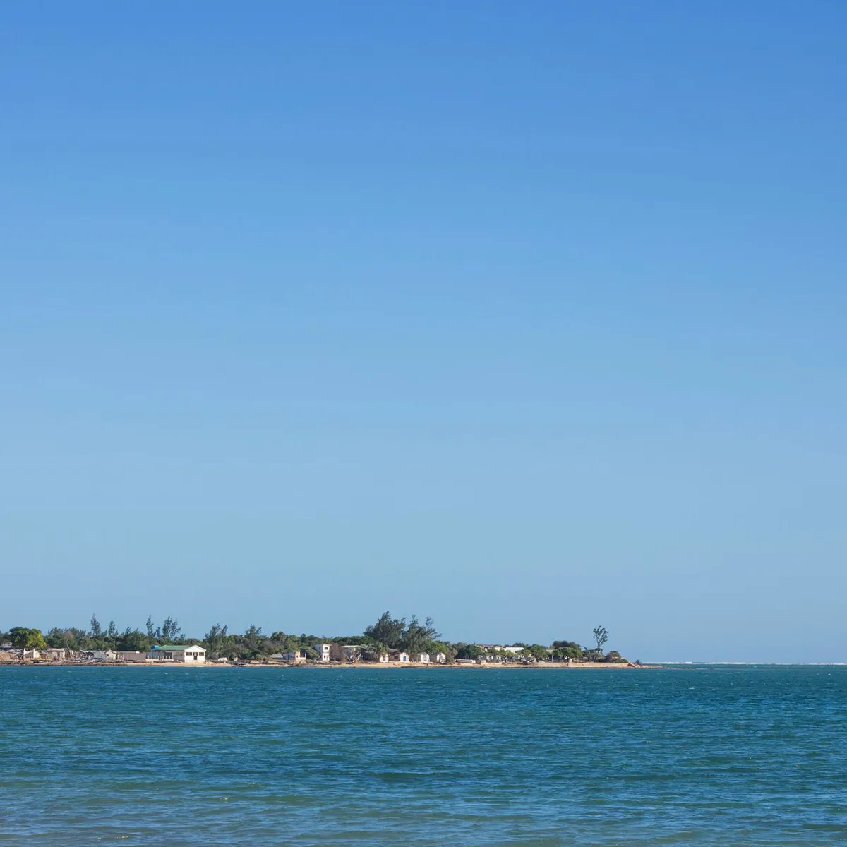
 Photo: Léonide Mahajanjy / Pexels
Mahajanga
Mahajanga accessibility for wheelchair users
Compare Mahajanga by accessibility, transport, terrain, healthcare, cost, weather, laws, reviews, and community notes.
Mahajanga accessibility scores
Compare Mahajanga by accessibility, transport, terrain, healthcare, cost, weather, and laws. General stats use public data and models. Community rows reflect member reviews and votes.
General stats
National benchmarks and estimates — your experience in this city may differ.
Community
Starts from our estimate — thumbs up nudge toward Excellent, down toward Poor. Reviews use 1–5 stars.
These figures combine public statistics, models, and live weather where available. Every city is different — treat this as a guide, and share what you know in the Reviews & Corrections tab.
Profile last updated 7/1/2026.
Mahajanga wheelchair accessibility guide
Research Mahajanga for wheelchair users and caregivers: getting around, terrain, healthcare, costs, climate, accessible things to do, and practical caveats before booking.
Last updated 7/1/2026At a glance
Mahajanga is a warm coastal city on Madagascar’s northwest coast with sea views, baobab landmarks, and a slower pace than Antananarivo. For wheelchair users it is promising for scenery but weak on confirmed infrastructure. RollVenture scores it overall 48 and accessibility 23. The terrain is gently rolling, which helps, but pavement data shows a high share of unpaved or sandy surfaces, so step-free does not mean smooth.
Getting around
Use private taxis or hotel-arranged drivers as the default. The port, waterfront, markets, and beaches may be close on a map but can involve broken pavement, sand, drainage gaps, and curb obstacles. Public minibuses are unlikely to be predictably wheelchair usable. If arriving by air or road, ask lodging to confirm transfer vehicle height and whether staff can meet you at the curb.
Terrain & mobility
The terrain profile is relatively favorable: average elevation around 15 m, gently rolling, and all sampled points flat in the stored profile. The catch is surface quality. Pavement data is high-confidence and includes unpaved, sandy, paved, and untagged surfaces, with 24% poor. Beachfront and market routes should be tested in small sections before relying on them for a full day.
Healthcare & care
OpenStreetMap lists healthcare leads close to the center, including Hôpital Mahabibo, SMIM Hospital, Clinique Médico Chirurgicale, and Service Pédiatrie. These entries are useful for emergency planning but do not confirm wheelchair access or specialist availability. For complex needs, identify private-clinic contacts and medication supply before arrival.
Costs & housing
The DB estimate is from ~$2,165/mo, with housing from ~$1,121/mo, transport from ~$159/mo, medical from ~$132/mo, and home-aid support from ~$358/mo. Accessible rentals may be rare. Prioritize hotels or serviced apartments that can send fresh photos of entrances, internal steps, bathroom layout, generator/air-conditioning reliability, and the route from vehicle drop-off to room.
Climate & comfort
Mahajanga is hot, humid, and coastal. Heat, sun exposure, and sandy surfaces are the main comfort risks. Plan morning or late-afternoon outings, carry water, and avoid long pushes along beaches or exposed waterfronts unless a firm paved route is confirmed.
Accessible things to do
Mahajanga seafront / Corniche— A core city experience for views and people-watching. Verify which sections have smooth paving and avoid sandy edges.
The Grand Baobab of Mahajanga— A well-known landmark that can work as a short drive-up stop if the surrounding pavement and curb access are checked.
Old port and waterfront cafés— Useful for low-effort sightseeing, but choose venues individually based on entrance thresholds and toilet access.
Cirque Rouge viewpoint trips— A popular natural-color landscape outside town. Road and ground conditions may be rough, so treat it as vehicle-based sightseeing unless an operator confirms a suitable stop.
Community & language
Malagasy and French are the most useful languages; English is less predictable outside hotels and tours. A bilingual driver or hotel contact is valuable for clinics, pharmacies, and access checks.
Would we recommend it?
Yes for a warm coastal stay with a driver and carefully vetted accommodation; no for travelers needing predictable curb cuts, smooth pavements, or independent beach access. The city’s terrain helps, but surfaces and heat require planning.
These figures combine public statistics, models, and live weather where available. Every city is different — treat this as a guide, and share what you know in the Reviews & Corrections tab.
Profile last updated 7/1/2026.
Reviews & corrections
Share your experience or suggest a data correction. Both appear publicly; admin updates official city scores and costs separately.
Log in to write a review or suggest a correction.
No reviews or corrections yet.