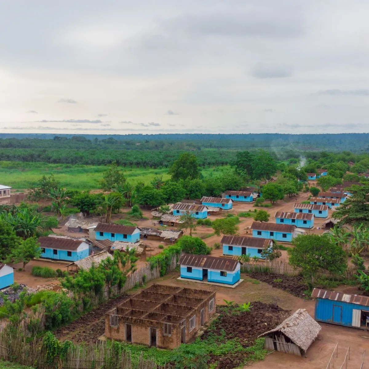
 Photo: Hervé Kashama / Pexels
Mbanza-Ngungu
Mbanza-Ngungu accessibility for wheelchair users
Compare Mbanza-Ngungu by accessibility, transport, terrain, healthcare, cost, weather, laws, reviews, and community notes.
Mbanza-Ngungu accessibility scores
Compare Mbanza-Ngungu by accessibility, transport, terrain, healthcare, cost, weather, and laws. General stats use public data and models. Community rows reflect member reviews and votes.
General stats
National benchmarks and estimates — your experience in this city may differ.
Community
Starts from our estimate — thumbs up nudge toward Excellent, down toward Poor. Reviews use 1–5 stars.
These figures combine public statistics, models, and live weather where available. Every city is different — treat this as a guide, and share what you know in the Reviews & Corrections tab.
Profile last updated 7/2/2026.
Mbanza-Ngungu wheelchair accessibility guide
Research Mbanza-Ngungu for wheelchair users and caregivers: getting around, terrain, healthcare, costs, climate, accessible things to do, and practical caveats before booking.
Last updated 7/2/2026At a glance
Mbanza-Ngungu, formerly Thysville, is a Kongo Central town in DR Congo on a branch off the Matadi-Kinshasa Railway. It has caves, railway history, university life, and nearby healthcare leads, but accessibility should be treated as fragile. RollVenture data rates terrain as hilly, infrastructure and wheelchair transport as low, and pavement as mixed with unpaved and dirt surfaces. A supported stay is possible; an independent wheelchair trip would be hard.
Getting around
Plan with a private car and a local fixer. Wikipedia links the town to railway history, but that does not mean step-free rail access is available today. Street conditions can vary block by block, and hilly approaches make return trips harder than they look. Keep daily errands close together and confirm that cars can pull directly to hotel, clinic, and restaurant entrances.
Terrain & mobility
OpenTopoData marks Mbanza-Ngungu as hilly, with a sampled maximum grade around 3.8% and a large elevation range. OSM pavement confidence is medium; dominant surfaces include untagged, unpaved, dirt, and earth, with some poor-surface tags. Rain can quickly make unpaved sections difficult for both manual and power chairs. A strong companion, anti-tip awareness, and transfer flexibility are important.
Healthcare & care
The database lists several nearby OSM healthcare leads: NOKI about 0.6 km from the center, Dispensaire ONATRA about 0.7 km, and Hôpital Approdec about 1.2 km. These are promising for proximity but still require direct checks for ramps, doorway widths, and emergency capacity. Bring medication buffers and avoid assuming specialist services are available locally.
Costs & housing
RollVenture costs show living from ~$2,308/mo, housing from ~$1,183/mo, transport from ~$168/mo, medical from ~$146/mo, and home aid from ~$388/mo. Housing must be verified by video: step-free entrance, toilet layout, shower approach, bed height, and car access matter more than listing photos.
Climate & comfort
Western DR Congo’s wet periods can turn dirt roads and market edges into slippery barriers. Heat, rain, and unreliable sidewalks mean morning errands and flexible rest days are safer than tightly packed plans.
Accessible things to do
Thysville Caves— Wikipedia identifies the caves as a key feature; treat them as scenic/cultural interest, but confirm entrance surfaces, steps, lighting, and whether viewing without entering is possible.
Mama Mvati Mpatu monument— The Wikipedia infobox shows the monument in front of the courthouse; it may work as a short vehicle-based town landmark if curb access is manageable.
Kongo University area— Wikipedia notes the city is the main site of Kongo University; verify campus road surfaces and entrances before visiting.
Railway-history corridor— The Matadi-Kinshasa Railway branch is part of the town’s identity; use a driver-based history loop rather than assuming station access.
Community & language
French is essential for clinics and administration; Kikongo/Lingala may help locally. Clear written access questions and a trusted interpreter can prevent bad assumptions.
Would we recommend it?
Only for travelers with local support and a reason to be in Kongo Central. The nearby healthcare leads help, but hilly, unpaved mobility conditions keep the recommendation cautious.
These figures combine public statistics, models, and live weather where available. Every city is different — treat this as a guide, and share what you know in the Reviews & Corrections tab.
Profile last updated 7/2/2026.