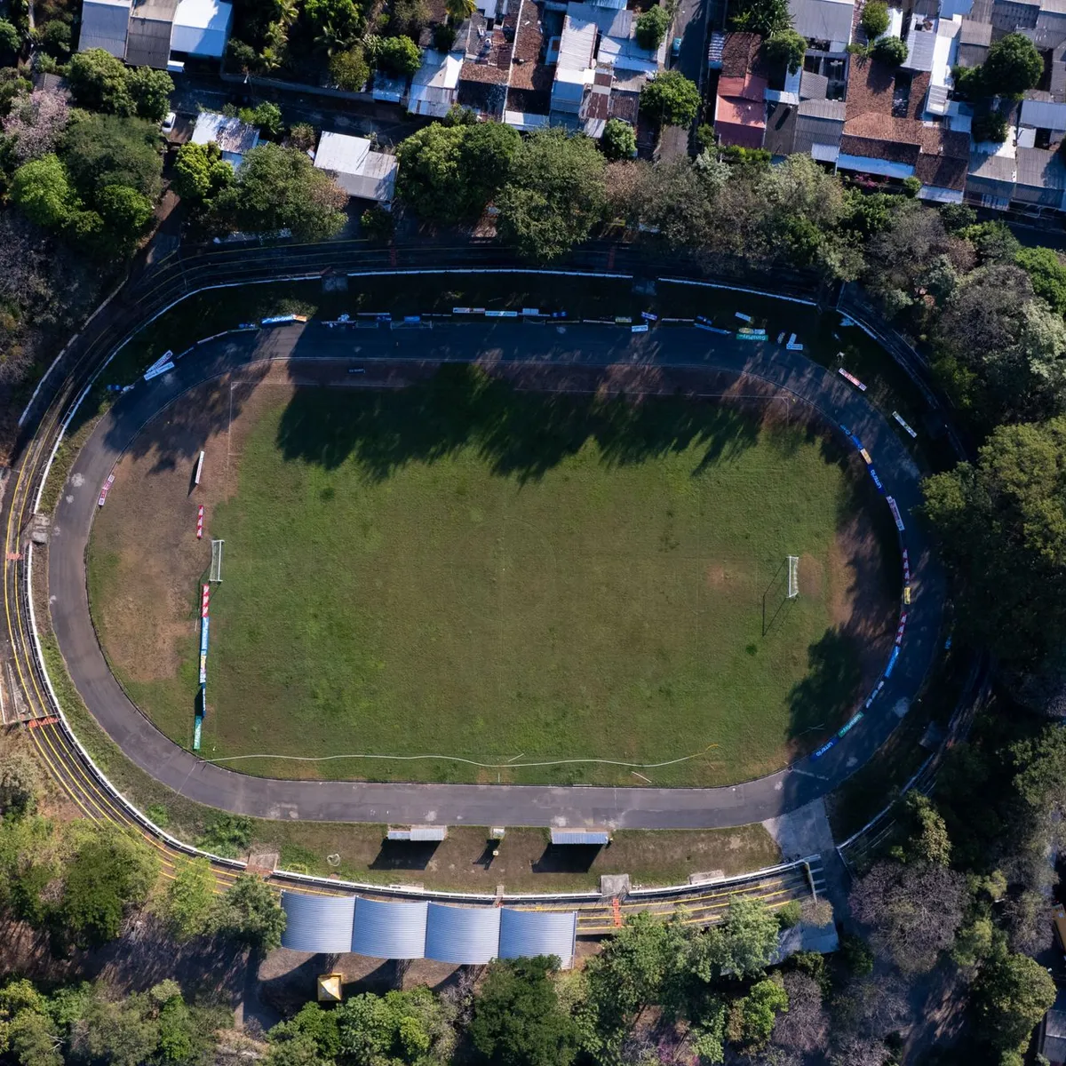
 Photo: Diego Lopez / Pexels
Mejicanos
Mejicanos accessibility for wheelchair users
Compare Mejicanos by accessibility, transport, terrain, healthcare, cost, weather, laws, reviews, and community notes.
Mejicanos accessibility scores
Compare Mejicanos by accessibility, transport, terrain, healthcare, cost, weather, and laws. General stats use public data and models. Community rows reflect member reviews and votes.
General stats
National benchmarks and estimates — your experience in this city may differ.
Community
Starts from our estimate — thumbs up nudge toward Excellent, down toward Poor. Reviews use 1–5 stars.
These figures combine public statistics, models, and live weather where available. Every city is different — treat this as a guide, and share what you know in the Reviews & Corrections tab.
Profile last updated 7/1/2026.
Mejicanos wheelchair accessibility guide
Research Mejicanos for wheelchair users and caregivers: getting around, terrain, healthcare, costs, climate, accessible things to do, and practical caveats before booking.
Last updated 7/1/2026At a glance
Mejicanos is a dense municipality just north of San Salvador, useful mainly as a lower-cost base near the capital rather than as a standalone accessible destination. The DB estimate starts around ~$2,670/mo. Accessibility is mixed: pavement sampling is relatively strong on tagged roads, but terrain is very hilly and wheelchair transport is not something to assume. It can work for travelers with a driver, local contacts, and a San Salvador-focused itinerary.
Getting around
Plan on private transport. Mejicanos' value is proximity to San Salvador hospitals, museums, parks, and administrative services, but getting between them requires vehicle support. Ordinary taxis or ride-hailing may work for foldable-chair users who can transfer; power-chair users should arrange a van and assistance. Confirm parking and drop-off points before visiting central attractions because curb access can change block by block.
Terrain & mobility
The terrain profile is the biggest warning: very hilly, with sampled grades up to about 12.7%. Even when roads are paved, slopes can make independent rolling unrealistic. OSM pavement sampling is high-confidence with asphalt, concrete, and paving-stone surfaces common on tagged ways, so car-based routing is feasible. Sidewalks, ramps, driveway lips, and drainage channels still need local verification.
Healthcare & care
The DB healthcare profile lists several nearby San Salvador-area hospital leads, including Hospital Centro de Diagnóstico, Hospital de Emergencias, Hospital Centro Pediátrico, Instituto de Ojos, and ISSS San Jacinto. Treat them as mapped leads. Call ahead for emergency access, ramped entrances, appointment availability, and insurance/payment expectations. For a longer stay, choose housing based on a short, reliable route to your preferred clinic.
Costs & housing
Housing is estimated around $1,370/mo inside the broader cost model. Accessible rentals should be screened by video: entrance steps, elevator reliability, bathroom width, water pressure, security, and parking slope are all important. A flatter neighborhood edge near main roads may be more usable than a cheaper home on a steep side street.
Climate & comfort
The climate is warm with a pronounced rainy season. Rain can make steep streets, drainage channels, and curb transitions more dangerous. Heat and air quality also argue for short outings, indoor rest stops, and a vehicle that can wait nearby.
Accessible things to do
Parque Cuscatlán— the official park site was reachable in source checks; verify current entrances, paths, restroom access, and event crowds.
BINAES / National Library area— a central San Salvador cultural anchor; the source domain was flaky in checks, so confirm hours and access directly.
Museo de Arte de El Salvador (MARTE)— useful as an indoor museum outing if step-free entry and parking are confirmed.
Historic center of San Salvador— best approached as a driver-supported, selective route rather than a long sidewalk outing.
Community & language
Spanish is essential for transport, housing, and clinics. English may be available in some hotels or private medical settings but should not be assumed. A local assistant or bilingual driver improves the trip substantially.
Would we recommend it?
Conditionally. Mejicanos can be practical if you need San Salvador access and have private transport, but the hills make independent wheelchair mobility hard.
These figures combine public statistics, models, and live weather where available. Every city is different — treat this as a guide, and share what you know in the Reviews & Corrections tab.
Profile last updated 7/1/2026.
Reviews & corrections
Share your experience or suggest a data correction. Both appear publicly; admin updates official city scores and costs separately.
Log in to write a review or suggest a correction.
No reviews or corrections yet.