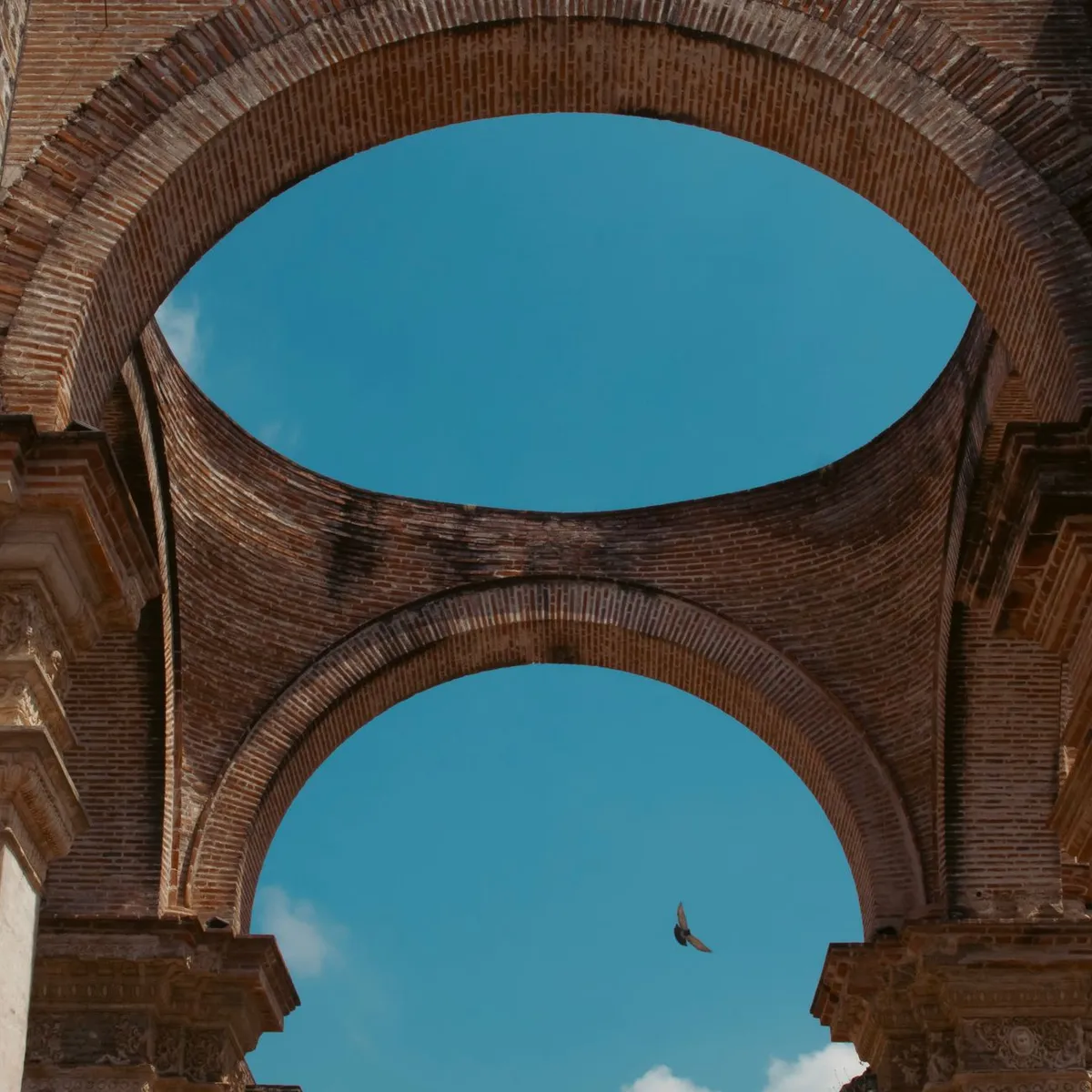
 Photo: Francisco Sandoval / Pexels
Mixco
Mixco accessibility for wheelchair users
Compare Mixco by accessibility, transport, terrain, healthcare, cost, weather, laws, reviews, and community notes.
Mixco accessibility scores
Compare Mixco by accessibility, transport, terrain, healthcare, cost, weather, and laws. General stats use public data and models. Community rows reflect member reviews and votes.
General stats
National benchmarks and estimates — your experience in this city may differ.
Community
Starts from our estimate — thumbs up nudge toward Excellent, down toward Poor. Reviews use 1–5 stars.
These figures combine public statistics, models, and live weather where available. Every city is different — treat this as a guide, and share what you know in the Reviews & Corrections tab.
Profile last updated 7/1/2026.
Mixco wheelchair accessibility guide
Research Mixco for wheelchair users and caregivers: getting around, terrain, healthcare, costs, climate, accessible things to do, and practical caveats before booking.
Last updated 7/1/2026At a glance
Mixco is part of the Guatemala City metropolitan area, immediately west of the capital and separated from parts of the city by canyons and bridges. For a wheelchair user, that means the practical experience is metro-Guatemala rather than a compact standalone town. The DB profile gives a moderate cost estimate from ~$2,425/mo, with housing from ~$1,165/mo, but the accessibility score is low and terrain is mixed. The best-case plan is a newer apartment, private vehicle, and carefully chosen accessible stops in Mixco, Ciudad San Cristóbal, and nearby Guatemala City.
Mixco’s biggest advantage is proximity to capital-region hospitals, malls, museums, and drivers. Its biggest challenge is topography: slopes, canyon crossings, busy arterials, and inconsistent sidewalks can turn short distances into difficult transfers. Use the city as a base only after verifying the exact building, parking, elevator, and route to medical care.
Getting around
Private transport is strongly preferred. Public buses and informal transfers are not a reliable wheelchair strategy, and the urban road network can involve steep grades or bridge approaches. If using taxis or ride-hailing, test a few drivers early and keep the ones who understand folding or securing the chair. For medical visits, leave wide buffers for traffic into Guatemala City.
Terrain & mobility
The DB terrain profile is a warning flag: average elevation is high, hilliness is mixed, and sampled grade variation is significant. Pavement data is better than some cities in this batch, with many asphalt or paved ways, but wheelchair access still depends on curb cuts, driveway slopes, security gates, and drainage. Manual-chair users should expect assisted pushes on some blocks.
Healthcare & care
The OSM healthcare profile lists nearby leads including Hospital Novicentro, Liga Guatemalteca del Corazón, Sanatorio Nuestra Señora de Fátima, IGSS, and other clinics. Treat these as location leads only and call about accessible entrances, elevators, imaging, and appointment language. For complex care, Guatemala City may be the practical medical center.
Costs & housing
Budget from the DB estimate of ~$2,425/mo, including transport from ~$191/mo, medical from ~$141/mo, and home aid from ~$463/mo. Spend more effort than usual on housing verification. In hilly metro areas, a building can have an elevator but still fail because the street approach or parking route is too steep. Ask for a continuous video from curb or garage to apartment bathroom.
Climate & comfort
The highland climate is milder than many tropical lowlands, which helps heat sensitivity, but rainy-season surfaces and traffic can be difficult. Keep waterproof covers and avoid scheduling critical transfers during heavy afternoon storms.
Accessible things to do
Museo Miraflores— The museum’s site lists visitor planning, tickets, hours, and access information, and Wikipedia identifies it as an archaeological museum for Kaminaljuyu artefacts. It is one of the more practical indoor cultural stops to verify for wheelchair access.
Kaminaljuyu area— Wikipedia identifies Kaminaljuyu as a major Pre-Columbian Maya site in Guatemala City. Outdoor archaeological remains may have uneven paths, so treat this as partial access and confirm the current entrance route.
Naciones Unidas National Park— Wikipedia describes this as a forested reserve south of Guatemala City and one of the last remaining nature reserves in the metro area. It is best approached as a scenic car outing unless paved path access is confirmed.
Ciudad San Cristóbal / Mixco urban viewpoints— Wikipedia notes Ciudad San Cristóbal is within Mixco. Use modern cafés, malls, or viewpoints with level parking rather than informal roadside stops, and verify toilets before going.
Community & language
Spanish is essential for housing, drivers, and healthcare. English may appear at private hospitals, hotels, or museums but should not be assumed. A bilingual helper is valuable for calling clinics and negotiating building access.
Would we recommend it?
Only selectively. Mixco can work for someone who needs Guatemala City access but wants a western-metro base. It is not a low-friction wheelchair destination because hills, traffic, and building-by-building variation dominate the experience.
These figures combine public statistics, models, and live weather where available. Every city is different — treat this as a guide, and share what you know in the Reviews & Corrections tab.
Profile last updated 7/1/2026.