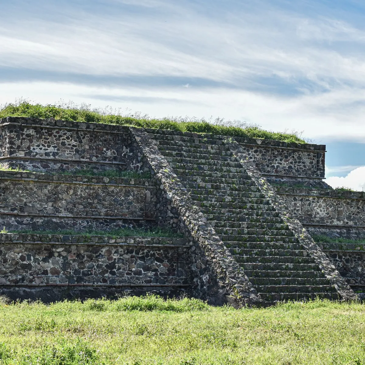
 Photo: Enzo Renz / Pexels
San Juan Sacatepéquez
San Juan Sacatepéquez accessibility for wheelchair users
Compare San Juan Sacatepéquez by accessibility, transport, terrain, healthcare, cost, weather, laws, reviews, and community notes.
San Juan Sacatepéquez accessibility scores
Compare San Juan Sacatepéquez by accessibility, transport, terrain, healthcare, cost, weather, and laws. General stats use public data and models. Community rows reflect member reviews and votes.
General stats
National benchmarks and estimates — your experience in this city may differ.
Community
Starts from our estimate — thumbs up nudge toward Excellent, down toward Poor. Reviews use 1–5 stars.
These figures combine public statistics, models, and live weather where available. Every city is different — treat this as a guide, and share what you know in the Reviews & Corrections tab.
Profile last updated 7/1/2026.
San Juan Sacatepéquez wheelchair accessibility guide
Research San Juan Sacatepéquez for wheelchair users and caregivers: getting around, terrain, healthcare, costs, climate, accessible things to do, and practical caveats before booking.
Last updated 7/1/2026At a glance
San Juan Sacatepéquez is a hill-town municipality just northwest of Guatemala City, with a strong Kaqchikel/Maya identity, flower-growing economy, furniture workshops, and a compact central core. For wheelchair users it is a possible lower-cost base rather than an easy-access destination: the database profile shows modest accessibility scores, mixed terrain, and very limited verified pavement tagging. Budget planning should start around from ~$2,231/mo, with housing from ~$940/mo before personal-care, transport, and accessibility upgrades.
The best fit is a traveler who has Spanish support, can arrange private step-free transport, and wants a quieter Guatemalan town close enough to the capital for specialist services. Independent rolling is harder: slopes, narrow sidewalks, curb breaks, market crowds, and inconsistent ramps mean every lodging, vehicle, and outing should be checked by photo or video before booking.
Getting around
Plan on door-to-door taxis, private drivers, or family support rather than relying on buses. Local chicken buses and minibuses are cheap but usually have high steps, crowding, and little room for rigid chairs or transfer boards. The road link to Guatemala City is useful for airport access and major hospitals, but traffic can make short distances slow. Ask drivers about trunk size, whether they can wait during errands, and whether streets near the destination allow close drop-off.
Terrain & mobility
The terrain profile is a real constraint: sampled elevation averages about 1,666 m with a large elevation range and max grades near 9.6%. Streets near the center may be manageable in short sections, but hills, broken concrete, dirt shoulders, and wet-season runoff can turn a simple route into a transfer-risk route. Treat curb cuts and ramps as spotty, not guaranteed. A power chair or scooter may help on distance but still needs battery margin for hills and a plan for rough entries.
Healthcare & care
OpenStreetMap-backed leads near the center include Centro De Salud, UNIMEDICA, IGSS, and Unidad Asistencial, plus Centro de Salud San Pedro Sacatepéquez a few kilometers away. These are leads, not accessibility guarantees. For complex disability care, pressure-wound management, repairs, or specialist medication, build a Guatemala City backup plan before arrival. Home help may be affordable by North American standards, but recruitment and reliability will depend on local contacts and Spanish communication.
Costs & housing
Use the city as a value option only if the housing is truly usable. A low rent is not enough if the bathroom door is narrow, the entrance has steps, or the street is too steep for daily movement. Prioritize single-level homes, roll-in or easily modifiable showers, reliable water, and a driver-friendly location near the main road. Budget extra for private transport, ramps, and occasional trips to Guatemala City.
Climate & comfort
The highland climate is milder than Guatemala’s lowlands, which helps with heat fatigue. Rainy-season afternoons can still create slick pavement, muddy shoulders, and drainage hazards. Bring rain covers for cushions and electronics, and avoid scheduling medical or market errands during peak rain when ramps and sidewalks become less predictable.
Accessible things to do
Central plaza and parish area— A good first outing if you can arrange close drop-off and scout curb cuts; expect crowds and uneven paving.
Flower market and nursery visits— San Juan is known for flowers; visit early with a local helper, because aisles and surfaces can be tight or muddy.
Furniture workshop browsing— Local carpentry is a practical, seated-friendly activity when workshops can confirm step-free entry and space to turn.
Short countryside viewpoints— Use a hired vehicle for scenic stops rather than attempting long sidewalk routes on the hilly edge of town.
Community & language
Spanish is essential for transport, housing, and care setup, and Kaqchikel culture is part of local identity. A local fixer or family contact will make a major difference. Expect warm community life but not a polished disability-services ecosystem.
Would we recommend it?
Cautiously, for budget-conscious travelers with strong local support and private transport. It is not an easy independent wheelchair destination, but it can work for someone who values highland weather, local culture, and proximity to Guatemala City enough to accept careful planning.
These figures combine public statistics, models, and live weather where available. Every city is different — treat this as a guide, and share what you know in the Reviews & Corrections tab.
Profile last updated 7/1/2026.