 Photo: Carolina Basi / Pexels
Chimaltenango
Chimaltenango accessibility for wheelchair users
Compare Chimaltenango by accessibility, transport, terrain, healthcare, cost, weather, laws, reviews, and community notes.
Chimaltenango accessibility scores
Compare Chimaltenango by accessibility, transport, terrain, healthcare, cost, weather, and laws. General stats use public data and models. Community rows reflect member reviews and votes.
General stats
National benchmarks and estimates — your experience in this city may differ.
Community
Starts from our estimate — thumbs up nudge toward Excellent, down toward Poor. Reviews use 1–5 stars.
These figures combine public statistics, models, and live weather where available. Every city is different — treat this as a guide, and share what you know in the Reviews & Corrections tab.
Profile last updated 7/1/2026.
Chimaltenango wheelchair accessibility guide
Research Chimaltenango for wheelchair users and caregivers: getting around, terrain, healthcare, costs, climate, accessible things to do, and practical caveats before booking.
Last updated 7/1/2026At a glance
Chimaltenango is a Guatemalan departmental capital on the Pan-American Highway, about 56 km west of Guatemala City. It is a practical highland city for people visiting the department, nearby Maya history, or relatives, rather than an obvious accessibility-first destination. RollVenture estimates living costs from ~$2115/mo and housing from ~$844/mo, with moderate scores but difficult terrain.
Getting around
The Pan-American Highway is the main advantage: it gives direct road access toward Guatemala City, Antigua-area routes, and western highland towns. Local movement should be planned by private vehicle, because sidewalks, traffic, and informal transport are unlikely to be consistently wheelchair accessible. For day trips, ask drivers to drop as close as possible to entrances and wait onsite.
Terrain & mobility
Chimaltenango sits in the highlands around 1932 m in the sampled RollVenture profile. Terrain is very hilly, with a high maximum grade and only 36% flat samples. Pavement data is low-confidence and includes paving stones, unpaved, sett, and many untagged roads. Expect steep blocks, uneven surfaces, sudden steps, and rain-slick approaches.
Healthcare & care
OpenStreetMap healthcare leads near the center include Hospital Carroll Behrhorst, Centro Medico Chimalteco, Doctora Wits, Doctor Mendizabal, and Hospital Nacional de Chimaltenango. Treat them as leads and call ahead about emergency access, imaging, elevators, and payment. Estimated monthly medical cost is ~$142, PT ~$99, and home aid from ~$468.
Costs & housing
Costs are lower than Guatemala City for some basics, but accessible rentals and hotels need careful checking. Prioritize newer buildings near main roads, confirm elevator function or ground-floor access, and ask for photos of bathroom thresholds, shower entries, and the route from street to lobby.
Climate & comfort
The subtropical highland climate is cooler than the lowlands, which helps heat tolerance, but afternoon rain and steep streets can make ramps and cobbles slippery. Bring layers and allow extra time for altitude adjustment if arriving from sea level.
Accessible things to do
Iximche archaeological site— A major Kaqchikel Maya capital near Tecpán with pyramid-temples, palaces, ballcourts, and a small museum; verify path surfaces and step-free sections before traveling.
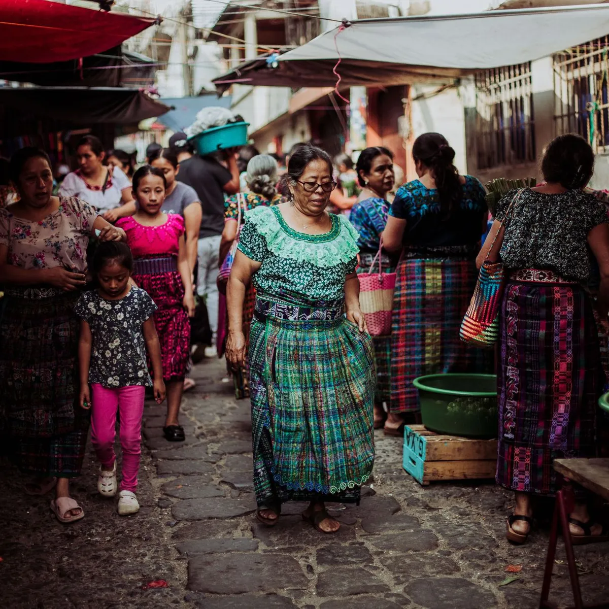
Chimaltenango central area— Useful for a short assisted city orientation, textiles, pottery, and errands near the municipal core.
Pan-American Highway viewpoint/drive— The highway location makes scenic assisted drives toward the highlands realistic when walking access is poor.
Hospital Nacional / civic services area— Practical for locating services and pharmacies; verify curb cuts and traffic crossings.
Community & language
Spanish is the main language for services; Kaqchikel Maya heritage is important regionally. Bring written addresses and use local drivers who know current roadworks.
For Iximche or highland drives, bring a companion who can scout surfaces before unloading the chair. A site may be culturally excellent but still only partly usable if rain, stones, or narrow entries block the route. If coming from Guatemala City, start early so any inaccessible entrance discovered on arrival does not consume the entire day.
Would we recommend it?
Maybe, for travelers with a Chimaltenango-specific reason and a private vehicle. The cultural region is worthwhile, but steep terrain and uncertain sidewalks make casual independent wheelchair travel difficult.
These figures combine public statistics, models, and live weather where available. Every city is different — treat this as a guide, and share what you know in the Reviews & Corrections tab.
Profile last updated 7/1/2026.