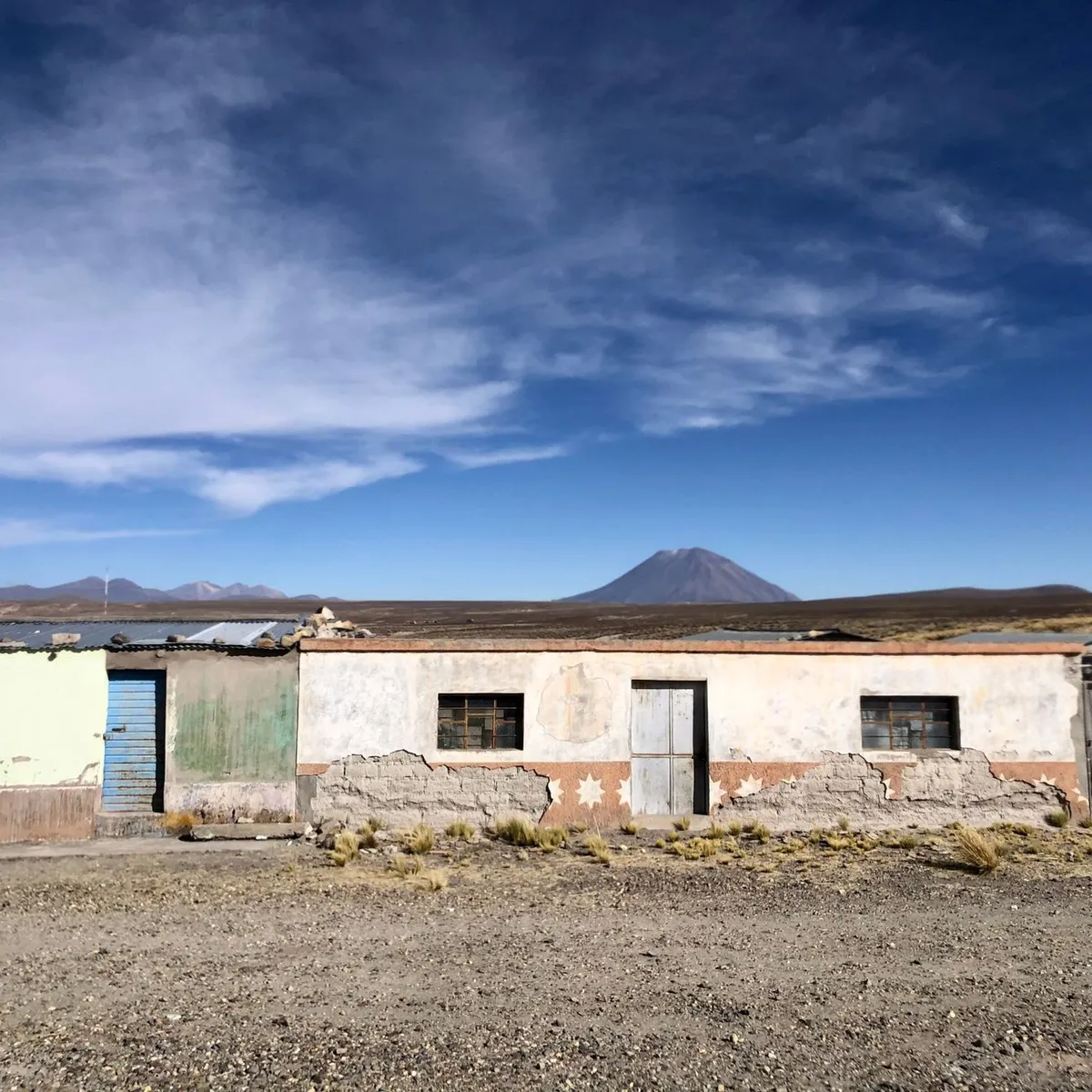
 Photo: Sarah Theeuws / Pexels
Quillacollo
Quillacollo accessibility for wheelchair users
Compare Quillacollo by accessibility, transport, terrain, healthcare, cost, weather, laws, reviews, and community notes.
Quillacollo accessibility scores
Compare Quillacollo by accessibility, transport, terrain, healthcare, cost, weather, and laws. General stats use public data and models. Community rows reflect member reviews and votes.
General stats
National benchmarks and estimates — your experience in this city may differ.
Community
Starts from our estimate — thumbs up nudge toward Excellent, down toward Poor. Reviews use 1–5 stars.
These figures combine public statistics, models, and live weather where available. Every city is different — treat this as a guide, and share what you know in the Reviews & Corrections tab.
Profile last updated 7/1/2026.
Quillacollo wheelchair accessibility guide
Research Quillacollo for wheelchair users and caregivers: getting around, terrain, healthcare, costs, climate, accessible things to do, and practical caveats before booking.
Last updated 7/1/2026At a glance
Quillacollo sits in Bolivia's Cochabamba valley and is known for the Virgen de Urkupiña pilgrimage/festival, but the accessibility picture is challenging. RollVenture has it at overall score 55, accessibility score 46, and costs from ~$2,682/mo, with housing from ~$1,380/mo. The city can work for travelers with local support, Spanish ability, and tolerance for altitude, uneven paving, and hills; it is not a low-friction independent wheelchair base.
Getting around
Private taxis or arranged drivers are the safest assumption. Public minibuses and shared transport are generally not a dependable wheelchair option. If using Cochabamba as the main medical or airport base, plan transfers with extra time for traffic and road conditions, and ask drivers about trunk space or seat-transfer assistance.
Terrain & mobility
The live terrain profile is very hilly, with a high-altitude average near 2,892 m and a max sampled grade around 23.7%. OSM pavement confidence is high, but dominant surfaces include unpaved, untagged, concrete plates, and paved ways. Short central routes may be manageable with help, but festival crowds, steep approaches, and broken sidewalks can quickly become difficult.
Healthcare & care
OpenStreetMap leads include Hospital San José Obrero, Centro de Salud 4 Esquinas, and Policonsultorio Colcapirhua, with additional hospital leads closer to Cochabamba. Treat all as starting points, not guarantees. Before committing to a stay, confirm emergency services, accessible entrances, pharmacy access, and whether home-care or PT visits can reach your neighborhood.
Costs & housing
The cost row estimates monthly living from ~$2,682, including housing from ~$1,380, food around $379, transport around $198, medical around $141, PT around $99, and home aid around $485. Accessible apartments may be limited; look for newer buildings with elevators, backup water, and bathrooms that can be adapted.
Climate & comfort
Altitude is the major comfort factor. New arrivals may need slower days, hydration, and medical advice if respiratory or cardiac issues are relevant. Sun exposure can be strong, while evening temperatures can feel cool. Wheelchair batteries, cushions, and medication storage should be checked against dust, sun, and longer-than-planned transfer times. Build in recovery time after festival days.
Accessible things to do
Plaza Bolívar / central Quillacollo— the best first orientation loop; verify ramps, crossings, and café entrances in person.
San Ildefonso / Virgen de Urkupiña sanctuary area— culturally important, but check step-free entry and avoid peak crowds unless you have strong assistance.
Urkupiña festival route— a major local experience; wheelchair users should treat it as a viewing-and-support logistics project, not an easy parade roll.
Calvario / Cota hill viewpoint lead— meaningful for pilgrims, but steep grades make it suitable only with vehicle access and confirmed stopping points.
Community & language
Spanish is necessary, and Quechua may be heard locally. Accessibility information is mostly informal, so use local contacts, hotel staff, and drivers to check conditions the same week you travel.
Would we recommend it?
Recommended only with a local fixer, private transport, and a clear medical backup plan in Cochabamba. The culture is strong, but terrain and infrastructure make independence hard.
These figures combine public statistics, models, and live weather where available. Every city is different — treat this as a guide, and share what you know in the Reviews & Corrections tab.
Profile last updated 7/1/2026.