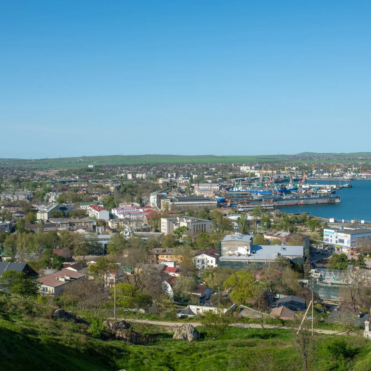
 Photo: Oleksiy Yeshtokyn,🌻🇺🇦🌻 / Pexels
Sumy
Sumy accessibility for wheelchair users
Compare Sumy by accessibility, transport, terrain, healthcare, cost, weather, laws, reviews, and community notes.
Sumy accessibility scores
Compare Sumy by accessibility, transport, terrain, healthcare, cost, weather, and laws. General stats use public data and models. Community rows reflect member reviews and votes.
General stats
National benchmarks and estimates — your experience in this city may differ.
Community
Starts from our estimate — thumbs up nudge toward Excellent, down toward Poor. Reviews use 1–5 stars.
These figures combine public statistics, models, and live weather where available. Every city is different — treat this as a guide, and share what you know in the Reviews & Corrections tab.
Profile last updated 7/2/2026.
Sumy wheelchair accessibility guide
Research Sumy for wheelchair users and caregivers: getting around, terrain, healthcare, costs, climate, accessible things to do, and practical caveats before booking.
Last updated 7/2/2026At a glance
Sumy is a regional capital in northeastern Ukraine with historic streets, museums, parks, and a gently rolling terrain profile. It is also affected by wartime risk: safety, curfews, air alerts, damaged infrastructure, and medical capacity can change quickly. For wheelchair users, Sumy’s moderate terrain and some paved areas are positives, but the DB profile still shows limited accessibility, patchy pavement, and the need for advance planning.
Getting around
Do not plan around guaranteed accessible public transport. Use private drivers, local contacts, or verified taxi options, and check current security conditions before any trip. Railway or bus travel should be confirmed for step-free boarding and assistance before booking. In the city, route around known smooth streets and avoid long unplanned rolls, especially during winter or after shelling/repair work.
Terrain & mobility
The stored terrain profile is gently rolling, with average elevation around 149 m and mostly flat samples. Pavement data is stronger than many cities in this batch but mixed: OSM shows asphalt, paving stones, ground, and many untagged surfaces, with a meaningful share of poor surfaces. Expect some manageable central routes and many interruptions from curbs, broken pavement, snow/ice, or construction.
Healthcare & care
OpenStreetMap lists nearby clinics and hospitals within about 0.2–1.2 km of the sampled center, including primary-care ambulatory facilities, a clinic department, Silmed, and a children’s city hospital with emergency tagging. Treat these as leads only. In wartime, confirm service availability, specialty coverage, shelter access, and transport time on the same day. Bring medical documents in Ukrainian or Russian where possible.
Costs & housing
The RollVenture profile estimates costs from ~$2,316/mo, with housing around $1,206. Choose housing for resilience: step-free entry, working lift, backup heat/power plans, accessible bathroom, and a safe interior area during air alerts. A ground-floor unit can avoid lift failure but may have entrance steps, so photos matter.
Climate & comfort
Sumy has cold winters and warm summers. Winter snow and ice can sharply reduce wheelchair mobility, while wartime outages can affect heating and elevators. In warmer months, outdoor routes are more feasible, but air alerts and safety advisories still govern planning.
Accessible things to do
Soborna Street / Transfiguration Cathedral area— A central historic corridor and landmark cluster; verify current security conditions and pavement before going.
Altanka Gazebo— One of Sumy’s recognizable landmarks; use it as a short, central outing with a checked drop-off point.
Sumy State Art Museum— A known cultural stop; ask about entrance steps, lift availability, restroom access, and wartime opening hours.
Taras Shevchenko monument area— A central outdoor landmark that may work as a low-commitment stop if pavements and alerts allow.
Community & language
Ukrainian is the main language, with Russian still understood by many residents. English support may exist in universities or aid-linked contexts but should not be assumed. Local contacts are valuable for safety decisions, transport, and medical navigation.
Would we recommend it?
Not as a casual wheelchair-user destination during active wartime risk. Sumy has workable terrain and meaningful culture, but safety volatility, winter conditions, and limited verified access mean it is best for essential travel or visitors with trusted local support.
These figures combine public statistics, models, and live weather where available. Every city is different — treat this as a guide, and share what you know in the Reviews & Corrections tab.
Profile last updated 7/2/2026.
Reviews & corrections
Share your experience or suggest a data correction. Both appear publicly; admin updates official city scores and costs separately.
Log in to write a review or suggest a correction.
No reviews or corrections yet.