 Photo: Diego Lopez / Pexels
Tegucigalpa
Tegucigalpa accessibility for wheelchair users
Compare Tegucigalpa by accessibility, transport, terrain, healthcare, cost, weather, laws, reviews, and community notes.
Tegucigalpa accessibility scores
Compare Tegucigalpa by accessibility, transport, terrain, healthcare, cost, weather, and laws. General stats use public data and models. Community rows reflect member reviews and votes.
General stats
National benchmarks and estimates — your experience in this city may differ.
Community
Starts from our estimate — thumbs up nudge toward Excellent, down toward Poor. Reviews use 1–5 stars.
These figures combine public statistics, models, and live weather where available. Every city is different — treat this as a guide, and share what you know in the Reviews & Corrections tab.
Profile last updated 7/2/2026.
Tegucigalpa wheelchair accessibility guide
Research Tegucigalpa for wheelchair users and caregivers: getting around, terrain, healthcare, costs, climate, accessible things to do, and practical caveats before booking.
Last updated 7/2/2026At a glance
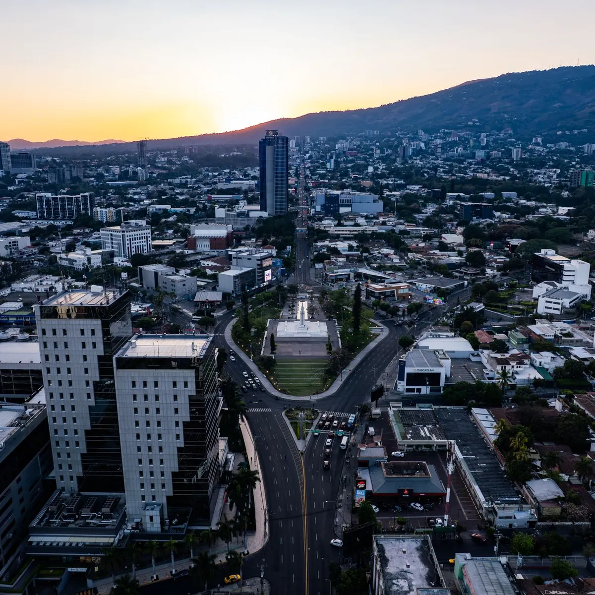
Tegucigalpa is a large, mountainous capital with museums, churches, viewpoints, medical facilities, and heavy urban traffic. RollVenture's row gives it a very hilly terrain profile and a modest accessibility score, so it should not be approached as an easy rolling city. The upside is scale: there are more clinics, hotels, drivers, and services than in smaller destinations, and a careful taxi-based itinerary can still work.
Getting around
Use pre-arranged taxis, hotel drivers, or trusted private transfers rather than trying to improvise public transport. The sources checked describe bus and taxi movement, but verified wheelchair-accessible public transport information is not dependable. Traffic, steep streets, and security considerations make door-to-door planning important. Confirm whether drivers can handle a folding chair, whether a powered chair can be loaded, and where vehicles can stop at museums or churches.
Terrain & mobility
The terrain profile is the main challenge: average elevation is about 1,302 m, sampled maximum grade is high, and the city is labeled very hilly. Pavement data is comparatively better than the score suggests, with many asphalt and concrete surfaces, but steepness, broken sidewalks, drainage channels, and curb cuts remain major barriers. Choose neighborhoods carefully and do not assume that two nearby map points are rollable between them.
Healthcare & care
OpenStreetMap-derived healthcare leads in the row include CESAMO Nueva Esperanza, Laboratorio y Droguería Francelia, Laboratorios Clínicos Express, Clínica Santa Lucia, and Clínica El Buen Pastor. These are local leads, not guarantees of accessible entry or appropriate specialist care. For more serious needs, identify a private hospital, confirm ambulance/private transfer options, and keep Spanish-language medical notes. The database estimates monthly medical costs from about $148, PT from about $104, and home aid from about $491.
Costs & housing
The database estimates living costs from about $2,718/month, with housing from about $1,392. Spend effort on lodging location: a flat internal property route, elevator reliability, generator/AC, roll-in shower, and secure vehicle drop-off are more important than being close to a sight on the map. In a hilly city, a poorly located bargain can become expensive in taxis and fatigue.
Climate & comfort
Tegucigalpa's elevation moderates heat compared with lowland Honduras, but sun, rain, pollution, and steep climbs still affect comfort. Rain can make ramps slippery and streets difficult. Build short outings with indoor breaks rather than full-day rolling routes.
Accessible things to do
Parque Central and the Cathedral of St. Michael the Archangel— The central square/cathedral area is a classic orientation stop. Go by taxi, scout curb cuts, and avoid peak traffic.
Museo para la Identidad Nacional— A key museum stop commonly listed for Tegucigalpa. Contact ahead for entrance, elevator, exhibit-route, and restroom details.
Basílica de Suyapa— The basilica is an important religious site and may be easier by vehicle than by street approach. Confirm ramps, parking/drop-off, and service crowds.
El Picacho / Cristo del Picacho viewpoint— A popular viewpoint above the city. Treat it as a driver-assisted scenic stop; paths and grades may be difficult.
La Tigra National Park visitor outing— A major nature escape near the city, but trails are not a default wheelchair activity. Consider it only for scenic drive/visitor-area access after checking current conditions.
Community & language
Spanish is the working language for taxis, clinics, and venue calls. A local contact or hotel desk can help screen drivers and confirm accessibility in practical terms, not just whether a place is “open.”
Would we recommend it?
Only with a driver-based plan and good Spanish support. Tegucigalpa has city services and worthwhile stops, but the terrain and transport uncertainty make independent wheelchair movement hard.
These figures combine public statistics, models, and live weather where available. Every city is different — treat this as a guide, and share what you know in the Reviews & Corrections tab.
Profile last updated 7/2/2026.
Reviews & corrections
Share your experience or suggest a data correction. Both appear publicly; admin updates official city scores and costs separately.
Log in to write a review or suggest a correction.
No reviews or corrections yet.