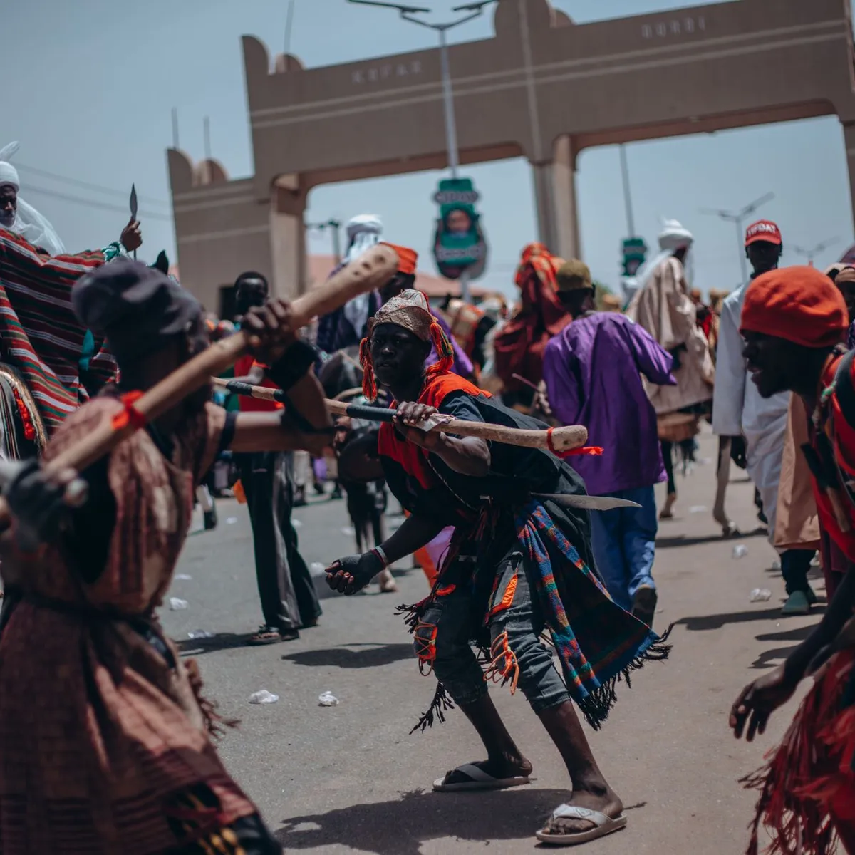
 Photo: MD Photography / Pexels
Wau
Wau accessibility for wheelchair users
Compare Wau by accessibility, transport, terrain, healthcare, cost, weather, laws, reviews, and community notes.
Wau accessibility scores
Compare Wau by accessibility, transport, terrain, healthcare, cost, weather, and laws. General stats use public data and models. Community rows reflect member reviews and votes.
General stats
National benchmarks and estimates — your experience in this city may differ.
Community
Starts from our estimate — thumbs up nudge toward Excellent, down toward Poor. Reviews use 1–5 stars.
These figures combine public statistics, models, and live weather where available. Every city is different — treat this as a guide, and share what you know in the Reviews & Corrections tab.
Profile last updated 7/1/2026.
Wau wheelchair accessibility guide
Research Wau for wheelchair users and caregivers: getting around, terrain, healthcare, costs, climate, accessible things to do, and practical caveats before booking.
Last updated 7/1/2026At a glance
Wau is a regional capital in northwestern South Sudan, on the western bank of the Jur River and far from the stronger services of Juba. For a wheelchair user, treat it as a high-planning, low-infrastructure destination rather than an easy independent base. RollVenture’s profile gives Wau an overall score of 46, with low accessibility and infrastructure scores but relatively moderate terrain: sampled terrain is gently rolling, with a maximum sampled grade under 1%. Costs are not especially low for the service level; use the database figure as a starting point from ~$2,310/mo, with housing from ~$1,184/mo, then verify secure lodging, transport, and care before committing.
Getting around
Plan on private vehicle movement, not spontaneous wheelchair-accessible public transport. Wau’s local road and surface data is low-confidence, with many untagged or unpaved ways in the OpenStreetMap pavement sample. That means short map distances can still become difficult if a route has broken edges, sand, open drains, or traffic conflict. Wau Airport is the practical arrival point for many travelers, but assistance, step-free boarding, and baggage help should be confirmed with the airline or handler before travel. Build trips around a known driver, a collapsible ramp if needed, and daylight-only routing.
Terrain & mobility
The city’s terrain profile is one of the better parts of the picture: OpenTopoData sampling labels it gently rolling, with 100% flat samples and about 94 m of elevation range across the sampled area. The bigger risk is not hills; it is surface quality, curb cuts, road shoulders, heat, dust, and gaps between compounds. Choose lodging close to the exact clinic, offices, or family visits you need, then test the entrance, bathroom, generator reliability, and transfer space in photos or video before booking.
Healthcare & care
OpenStreetMap lists **Comboni Hospital** close to the center as a healthcare lead, but this is not an accessibility guarantee. For anything complex, ask a local contact or organization to verify services, entrance steps, power backup, pharmacy access, and ambulance options. Personal care should be arranged privately in advance, ideally through a trusted host. Do not assume specialist rehabilitation, wheelchair repair, or consistent medical supplies are easy to find locally.
Costs & housing
The profile estimate is from ~$2,310/mo, including housing from ~$1,184/mo, food around $321, transport around $168, medical around $146, PT around $102, and home aid around $389. Those figures should be treated as planning placeholders. Accessible housing may cost more because the scarce suitable options are likely compounds, NGO-style guesthouses, or hotels with staff help rather than purpose-built accessible apartments. Ask for doorway width, entrance steps, bathroom layout, water storage, generator hours, and vehicle access to the door.
Climate & comfort
Wau is hot, with seasonal rain and dust affecting mobility. Heat management matters: air-conditioning, shaded waiting areas, reliable drinking water, and backup power can decide whether a day is workable. In rainy periods, unpaved links may become muddy; in dry periods, dust and loose shoulders can make transfers and propulsion harder.
Accessible things to do
Cathedral of St. Mary— A visible Wau landmark shown in public city references. Treat it as a photo/short-visit candidate and verify entrance steps before going.
University of Bahr El-Ghazal gateway area— A recognizable civic landmark; a driver-based exterior stop may be easier than relying on interior access.
Jur River edge— Wau sits by the Jur River. Use it as a scenic drive or assisted short stop only where a local driver confirms firm ground.
Central market streets— Useful for daily orientation and local life, but crowding, rough surfaces, and drainage make this an assisted visit rather than a roll-in attraction.
Community & language
Arabic, English, and local languages may all appear in practical settings. Bring written addresses, phone numbers, and a local contact who can explain access needs. Community support is likely to matter more than formal accessibility systems.
Would we recommend it?
Only for travelers with a strong local reason, reliable hosts, and a private support plan. Wau’s terrain is not the main barrier, but healthcare uncertainty, road surfaces, low ramp availability, and limited accessible transport make it a poor fit for independent wheelchair travel.
These figures combine public statistics, models, and live weather where available. Every city is different — treat this as a guide, and share what you know in the Reviews & Corrections tab.
Profile last updated 7/1/2026.