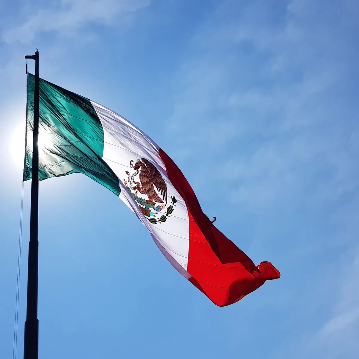
 Photo: Diego Sanchez / Pexels
Xico
Xico accessibility for wheelchair users
Compare Xico by accessibility, transport, terrain, healthcare, cost, weather, laws, reviews, and community notes.
Xico accessibility scores
Compare Xico by accessibility, transport, terrain, healthcare, cost, weather, and laws. General stats use public data and models. Community rows reflect member reviews and votes.
General stats
National benchmarks and estimates — your experience in this city may differ.
Community
Starts from our estimate — thumbs up nudge toward Excellent, down toward Poor. Reviews use 1–5 stars.
These figures combine public statistics, models, and live weather where available. Every city is different — treat this as a guide, and share what you know in the Reviews & Corrections tab.
Profile last updated 7/1/2026.
Xico wheelchair accessibility guide
Research Xico for wheelchair users and caregivers: getting around, terrain, healthcare, costs, climate, accessible things to do, and practical caveats before booking.
Last updated 7/1/2026At a glance
Xico is a mountain-side Pueblo Mágico-style town in Veracruz, known for traditional streets, views, and the nearby Texolo waterfall area. It is charming but physically demanding. For wheelchair users, the key issue is the terrain: RollVenture's stored profile labels it hilly, with a 414 m elevation range and a high sampled grade. Costs are moderate, from about ~$2,165/mo with housing from ~$860/mo, but accessible accommodation will require careful screening.
Getting around
Do not assume independent rolling around town. Xico's appeal is its historic centre and surrounding ravines, but those same features mean slopes, uneven paving, narrow sidewalks, and weather-exposed routes. A private driver, compact itinerary, and lodging very close to the main plaza are the safest starting point. For regional medical care or transport hubs, nearby Xalapa is likely more practical.
Terrain & mobility
The terrain score is low and the database labels the city hilly, with only low-confidence pavement data. Some central streets may be paved, but gradients and cobbled or uneven sections can make manual-chair travel exhausting. Wet-season surfaces can be slippery. Powerchair users should check battery range on hills and whether lodging has secure charging at street level.
Healthcare & care
The OSM healthcare leads in the stored profile are not mostly inside Xico; several point toward larger nearby urban areas, including hospital entries around Milpa Alta/Nezahualcoyotl/Xochimilco in the broader data. Treat this profile cautiously and verify local clinics directly. For anything complex, plan on Xalapa or another larger medical centre and pre-arranged transport.
Costs & housing
Do not book by price alone. The right accessible stay is likely a newer, step-free room near the plaza with a roll-in or at least transfer-friendly bathroom, no steep driveway, and parking close to the door. Ask for videos showing the street gradient, entrance threshold, bathroom, and route to breakfast/common areas.
Climate & comfort
Xico is cooler than lowland Veracruz, with many months in the mid-to-high teens Celsius. Rain is the access problem: June through September are wet, and July/August have many rainy days. Dry-season travel is better for traction, transfers, and visiting viewpoints.
Accessible things to do
Main plaza / historic centre— The most realistic first outing if lodging is nearby; inspect slopes and paving before committing to longer loops.
Parroquia and central streets— Good for atmosphere, photos, and cafés, but entry steps and sidewalks must be checked on arrival.
Cascada de Texolo viewpoints— The waterfall is a documented attraction near Xico; do not assume trail or stair access. A vehicle-accessible viewpoint may be the only wheelchair-feasible option.
Coffee shops and local food stops— Xico's lower-effort experience is often a short plaza-based visit; call ahead for threshold and toilet access.
Community & language
Spanish is essential for drivers, lodging, and medical logistics. English should not be expected. A local contact can make the difference between a stressful hill town and a manageable short stay.
Would we recommend it?
For most wheelchair users, Xico is a visit-with-support destination, not an easy base. It can work for a short, carefully planned trip with a driver and verified lodging, but the terrain and rain make it unsuitable for independent access.
These figures combine public statistics, models, and live weather where available. Every city is different — treat this as a guide, and share what you know in the Reviews & Corrections tab.
Profile last updated 7/1/2026.
Reviews & corrections
Share your experience or suggest a data correction. Both appear publicly; admin updates official city scores and costs separately.
Log in to write a review or suggest a correction.
No reviews or corrections yet.