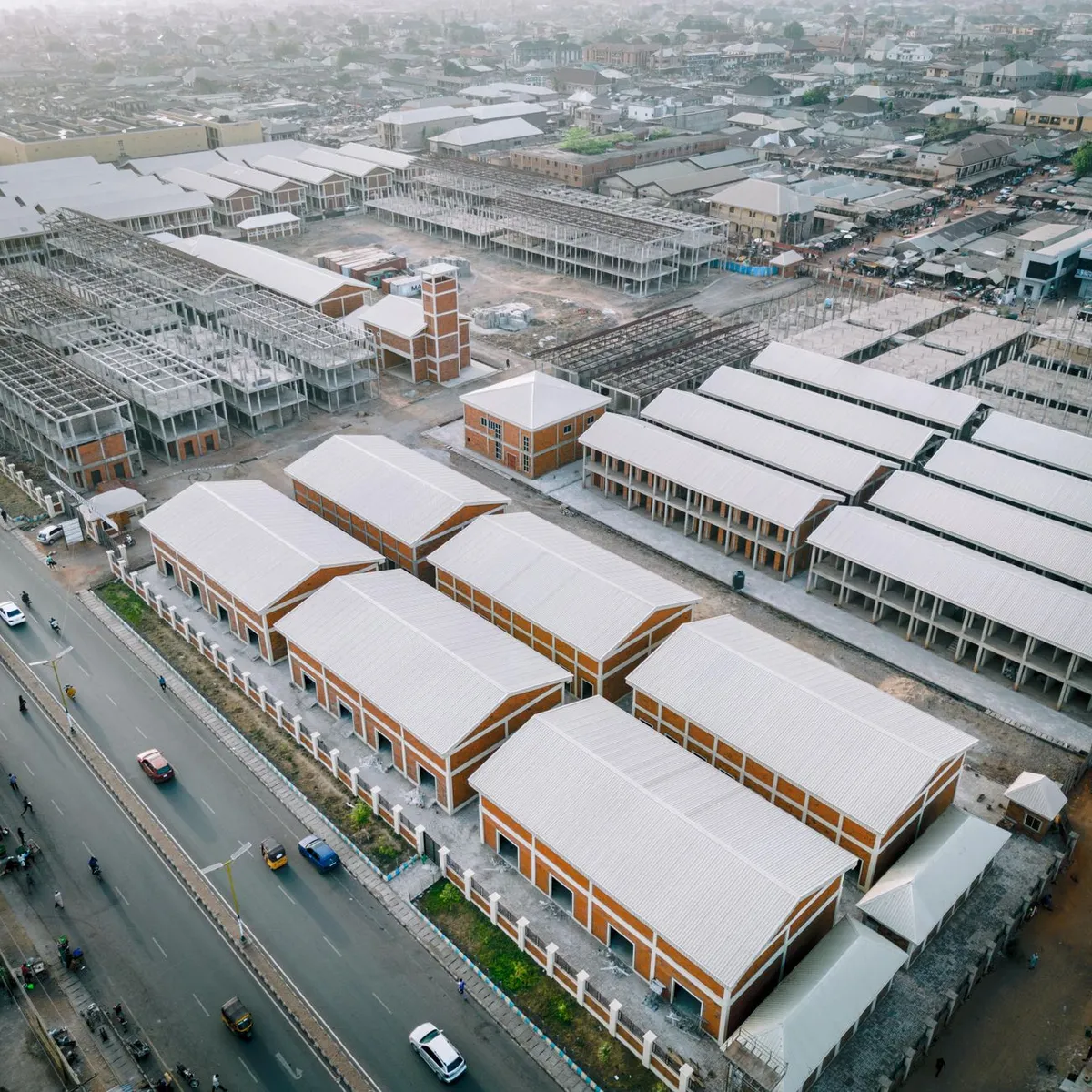
 Photo: Abdulrahman Abubakar / Pexels
Djougou
Djougou accessibility for wheelchair users
Compare Djougou by accessibility, transport, terrain, healthcare, cost, weather, laws, reviews, and community notes.
Djougou accessibility scores
Compare Djougou by accessibility, transport, terrain, healthcare, cost, weather, and laws. General stats use public data and models. Community rows reflect member reviews and votes.
General stats
National benchmarks and estimates — your experience in this city may differ.
Community
Starts from our estimate — thumbs up nudge toward Excellent, down toward Poor. Reviews use 1–5 stars.
These figures combine public statistics, models, and live weather where available. Every city is different — treat this as a guide, and share what you know in the Reviews & Corrections tab.
Profile last updated 7/1/2026.
Djougou wheelchair accessibility guide
Research Djougou for wheelchair users and caregivers: getting around, terrain, healthcare, costs, climate, accessible things to do, and practical caveats before booking.
Last updated 7/1/2026At a glance
Djougou is a northern Benin transport and market hub near the Atacora region and the Togolese border. It can work as a practical stopover for wheelchair users moving between Parakou, Natitingou, and northern Benin, but it is not a well-documented accessible destination. The DB scores show low ramps and wheelchair transport, while public visitor sources emphasize roads, markets, and basic services rather than step-free tourism.
Getting around
Wikivoyage describes Djougou as a crossroads where roads meet toward Cotonou, Parakou, Natitingou, and Ouaké/Togo, with bus connections from major regional cities. Buses are unlikely to be accessible for many wheelchair users, so plan private transport if you need predictable boarding, luggage space, or pressure-relief timing. Keep transfer distances short and avoid arriving after dark unless accommodation has confirmed assistance.
Terrain & mobility
The database terrain profile is manageable compared with mountain towns: gently rolling, modest sampled grade, and 108 m elevation range. Pavement is still a problem. The OSM pavement profile has low confidence and lists unpaved and dirt among dominant surfaces, so expect dust, broken edges, drainage gaps, and market congestion. A companion and sturdy wheels are strongly advised.
Healthcare & care
The database lists Hôpital de l’Ordre de Malte and Centre de santé Saint Camille as healthcare leads from OpenStreetMap. Treat these as places to verify locally, not guaranteed accessible hospitals. If you depend on complex equipment, pressure care, or regular therapy, arrange supplies before reaching Djougou and keep a backup plan in Parakou or Cotonou.
Costs & housing
The database estimate is **from ~$2,348/mo**, with housing around **$1,206/mo**. Because accessible inventory is likely limited, focus less on price and more on basics: step-free room entry, a usable bathroom, bed-transfer space, mosquito protection, generator or battery backup, and a vehicle that can reach the entrance during rain.
Climate & comfort
Northern Benin is hot, with seasonal rain and dust. Heat management, hydration, shade, and skin checks matter. During rainy periods, dirt or unpaved approaches can become muddy; during dry periods, dust can affect bearings, cushions, and respiratory comfort.
Accessible things to do
Grand marché de Djougou— Wikivoyage says Djougou hosts the largest market in the area. Visit with a companion, avoid peak crowding, and expect uneven ground.
Ouaké border market day trip— Wikivoyage notes the Tuesday market in Ouaké near the Togo border. This is a vehicle-based excursion; verify road and assistance conditions before going.
Djougou crossroads / town centre— The central road junctions are useful for supplies and orientation, but crossings and shoulders may be challenging.
Atacora-region onward routes— Djougou can be a staging point toward Natitingou and northern Benin; treat scenic travel as a planned private-driver route, not spontaneous public transport.
Community & language
French is the key administrative language, with local languages used day to day. Accessibility vocabulary may be limited, so send simple French questions with photos: “entrée sans marche,” “largeur de porte,” “douche,” and “toilettes.” A local fixer can make the difference between a workable stop and a stressful one.
Would we recommend it?
Recommended as a cautious stopover, not a primary accessible destination. Djougou’s flat-to-rolling terrain helps, but sparse access data, unpaved surfaces, and limited healthcare verification keep the recommendation conditional.
These figures combine public statistics, models, and live weather where available. Every city is different — treat this as a guide, and share what you know in the Reviews & Corrections tab.
Profile last updated 7/1/2026.
Reviews & corrections
Share your experience or suggest a data correction. Both appear publicly; admin updates official city scores and costs separately.
Log in to write a review or suggest a correction.
No reviews or corrections yet.