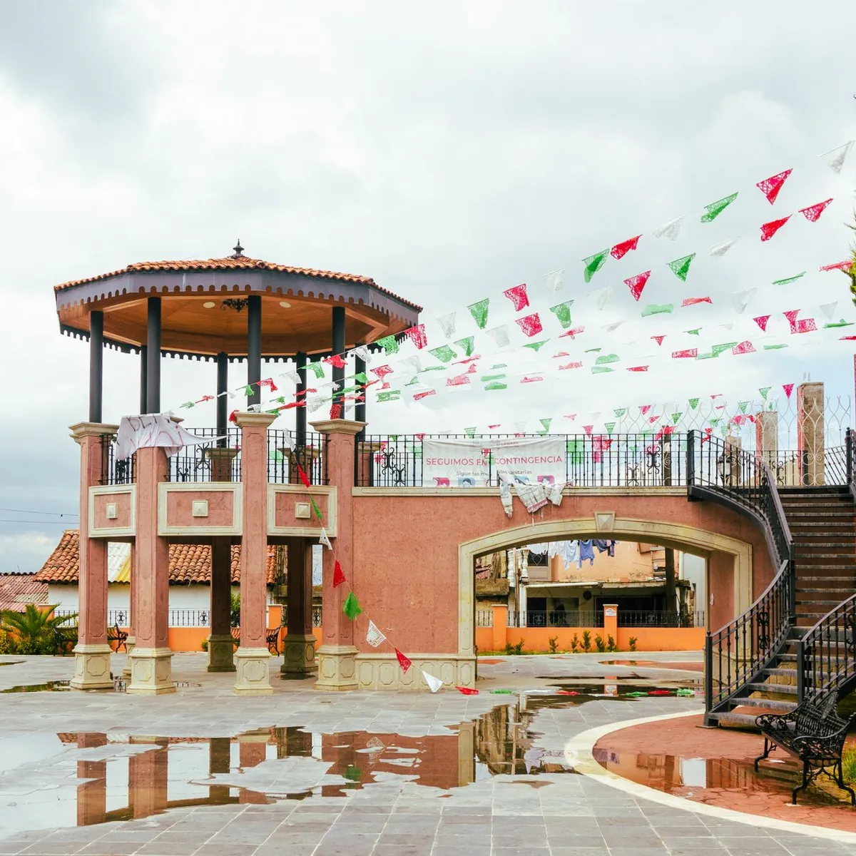
 Photo: Heber Vazquez / Pexels
Irapuato
Irapuato accessibility for wheelchair users
Compare Irapuato by accessibility, transport, terrain, healthcare, cost, weather, laws, reviews, and community notes.
Irapuato accessibility scores
Compare Irapuato by accessibility, transport, terrain, healthcare, cost, weather, and laws. General stats use public data and models. Community rows reflect member reviews and votes.
General stats
National benchmarks and estimates — your experience in this city may differ.
Community
Starts from our estimate — thumbs up nudge toward Excellent, down toward Poor. Reviews use 1–5 stars.
These figures combine public statistics, models, and live weather where available. Every city is different — treat this as a guide, and share what you know in the Reviews & Corrections tab.
Profile last updated 7/1/2026.
Irapuato wheelchair accessibility guide
Research Irapuato for wheelchair users and caregivers: getting around, terrain, healthcare, costs, climate, accessible things to do, and practical caveats before booking.
Last updated 7/1/2026At a glance
Irapuato is a mid-sized city in Guanajuato, Mexico, known for strawberries, regional business travel, and access to central Mexican heritage routes. For wheelchair users it is more practical than many hill towns, but not barrier-free. RollVenture’s live row labels the terrain gently rolling, with a 2.5% sampled maximum grade and medium-confidence OSM pavement data. The city’s biggest access questions are sidewalk continuity, curb cuts, traffic, and older public buildings rather than extreme slopes.
Getting around
Private rides and taxis are the most predictable option. Local buses and shared transport should not be assumed wheelchair accessible unless verified. If arriving from León, Guanajuato city, or Querétaro, arrange a vehicle that can carry your chair and confirm luggage space. In town, plan short point-to-point trips around the historic center, mall areas, or specific attractions.
Terrain & mobility
The city is relatively manageable by regional standards, but sidewalks may be narrow, interrupted by driveways, or missing curb cuts. OSM shows asphalt, concrete, and some unpaved surfaces; the tagged sample is not high enough to guarantee smooth routes. Manual-chair users may prefer a companion for longer days. Summer heat and rainy-season puddles can also make curb transitions harder.
Healthcare & care
OSM healthcare leads include Centro Especialidades Médicas, Hospital General Regional de Irapuato, IMSS, Torre Médica, and ISSSTE, all close to the city center in the live row. Verify entrance ramps, emergency procedures, and specialty services before relying on any facility. For complex care, compare options in León as well.
Costs & housing
RollVenture estimates monthly living cost from ~$2,181/mo, with housing from ~$870/mo. Newer business hotels may be the best accessibility bet. Ask about step-free parking/drop-off, elevator reach to rooms, bathroom grab bars, shower threshold, and whether accessible rooms are actually held for your booking.
Climate & comfort
Irapuato has warm days, cooler nights, and a rainy season that can make streets slick. Shade is uneven in open plazas. Plan outdoor visits early or late, with indoor rests at hotels, restaurants, or malls.
Accessible things to do
Historic center and cathedral area— The city center is the natural starting point; verify curb ramps and paving block by block, especially around plazas and churches.
Irapuato official tourism / Guanajuato state pages— Guanajuato tourism verifies Irapuato as a visitor destination; use it to identify current events and call venues for step-free access.
ZooIra / Irapuato Zoo— The zoo is a known local attraction, but the source probe could not resolve the official domain, so verify hours, surfaces, and wheelchair routes before going.
Plazuelas archaeological zone day trip— INAH references for Plazuelas were not reachable in this probe; treat it as a possible regional outing only after confirming terrain, parking, and site access.
Community & language
Spanish is needed for access calls and taxis. People are often helpful, but practical accessibility depends on the exact building and street. Keep written hotel and clinic addresses ready for drivers.
Would we recommend it?
Yes for a lower-cost Guanajuato base if you can use private transport and verify lodging. It is more manageable than steep heritage towns, but still requires conservative route planning.
These figures combine public statistics, models, and live weather where available. Every city is different — treat this as a guide, and share what you know in the Reviews & Corrections tab.
Profile last updated 7/1/2026.
Reviews & corrections
Share your experience or suggest a data correction. Both appear publicly; admin updates official city scores and costs separately.
Log in to write a review or suggest a correction.
No reviews or corrections yet.