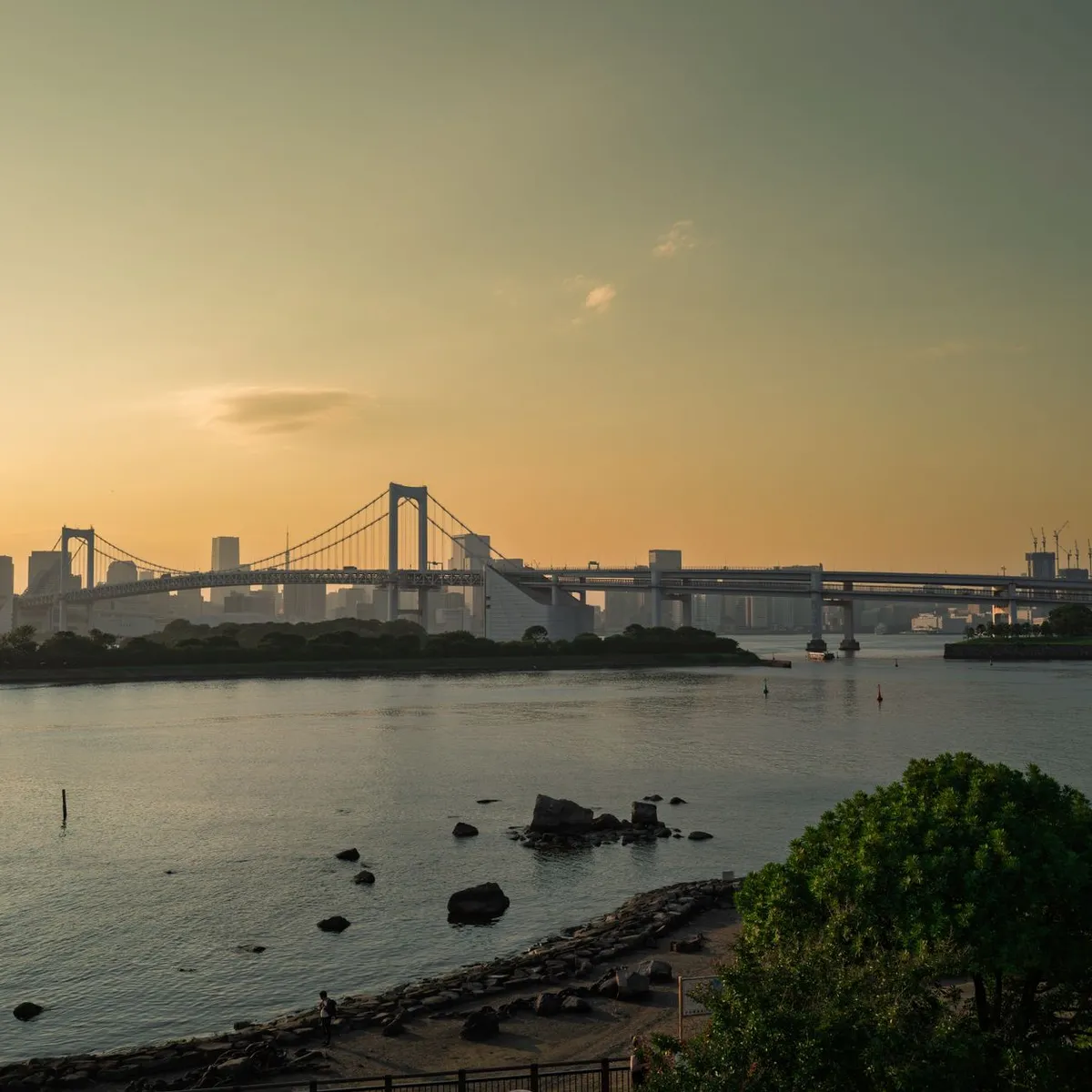
 Photo: Kok Horng Cheam / Pexels
Minato
Minato accessibility for wheelchair users
Compare Minato by accessibility, transport, terrain, healthcare, cost, weather, laws, reviews, and community notes.
Minato accessibility scores
Compare Minato by accessibility, transport, terrain, healthcare, cost, weather, and laws. General stats use public data and models. Community rows reflect member reviews and votes.
General stats
National benchmarks and estimates — your experience in this city may differ.
Community
Starts from our estimate — thumbs up nudge toward Excellent, down toward Poor. Reviews use 1–5 stars.
These figures combine public statistics, models, and live weather where available. Every city is different — treat this as a guide, and share what you know in the Reviews & Corrections tab.
Profile last updated 6/30/2026.
Minato wheelchair accessibility guide
Research Minato for wheelchair users and caregivers: getting around, terrain, healthcare, costs, climate, accessible things to do, and practical caveats before booking.
Last updated 6/30/2026At a glance
This Minato row appears to describe the Minato/coastal side of Wakayama rather than Tokyo’s Minato ward, based on its coordinates and nearby healthcare leads. It should therefore be read as a Wakayama coastal-city guide. The database scores it well overall, with costs from ~$3,218/mo and housing from ~$1,572/mo, but pavement confidence is low and the wider terrain is hilly. Wheelchair users should prioritize central Wakayama City access, not isolated waterfront lodging.
Getting around
Wakayama City is served by JR and Nankai rail, with buses and taxis needed for many coastal or castle-area trips. Step-free station choices are critical: confirm elevator locations, accessible toilets, and whether the exact exit connects cleanly to your lodging. Buses may be usable on some routes, but schedules, curb heights, and boarding support need checking before depending on them.
Terrain & mobility
The profile shows a hilly wider area with some flatter samples. Around the harbor and central streets, short routes can be manageable, while castle approaches, shrine grounds, and older neighborhoods may include steps, slopes, gravel, or narrow sidewalks. Because OSM pavement tagging is very thin here, verify routes visually before committing to long rolls.
Healthcare & care
The database lists OSM leads including Imamura Hospital, Wakayama Municipal Jonan Hospital, Nakatani Medical/Dental Hospital, Kodama Hospital, and Nakamura Hospital. Use these as starting points only. For planned care or personal assistance, confirm accessibility, transfer support, appointment rules, and Japanese-language intake. Osaka is a realistic higher-specialty backup but adds transfer complexity.
Costs & housing
Costs are moderate for Japan, but accessible housing supply may be limited. Look for elevator buildings near Wakayama-shi or Wakayama Station, verify bathroom thresholds, and avoid choosing cheaper housing that requires steep approaches or infrequent buses. For longer stays, confirm pharmacy, supermarket, and clinic routes in daylight.
Climate & comfort
Wakayama has humid summers, heavy rain risk, and occasional typhoon disruption. Coastal wind and rain can make exposed routes uncomfortable. Winter is milder than northern Japan, which helps, but storm planning matters more than cold planning.
Accessible things to do
Wakayama Castle Park— the castle area is the signature landmark; wheelchair users should treat the keep and upper grounds cautiously because slopes and historic surfaces may limit access, but selected park areas can still be worthwhile.
Wakayama City Museum— a more predictable indoor cultural option; verify elevator, accessible toilet, and entrance details before visiting.
Wakayama Marina City / Porto Europa area— a waterfront leisure zone where flat promenades may be easier than historic hills; confirm current operating days and accessible facilities.
Kishu Toshogu / Wakaura coast viewpoints— scenic but likely to involve steps or slopes; use as a drive-up or companion-assisted outing only after checking the exact route.
Community & language
This is a Japanese-first environment. Tourism touchpoints may have basic English, but hospitals, rentals, and home-care providers will usually require Japanese support.
Would we recommend it?
A cautious yes for someone who wants coastal Wakayama and can plan around rail exits, taxis, and verified housing. It is less convenient than Osaka or Kobe for complex access needs, but workable with conservative route planning.
These figures combine public statistics, models, and live weather where available. Every city is different — treat this as a guide, and share what you know in the Reviews & Corrections tab.
Profile last updated 6/30/2026.