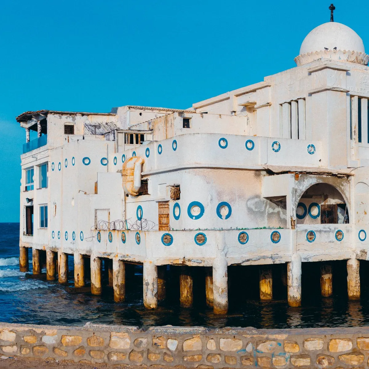
 Photo: Mahmoud Yahyaoui / Pexels
Zawiya
Zawiya accessibility for wheelchair users
Compare Zawiya by accessibility, transport, terrain, healthcare, cost, weather, laws, reviews, and community notes.
Zawiya accessibility scores
Compare Zawiya by accessibility, transport, terrain, healthcare, cost, weather, and laws. General stats use public data and models. Community rows reflect member reviews and votes.
General stats
National benchmarks and estimates — your experience in this city may differ.
Community
Starts from our estimate — thumbs up nudge toward Excellent, down toward Poor. Reviews use 1–5 stars.
These figures combine public statistics, models, and live weather where available. Every city is different — treat this as a guide, and share what you know in the Reviews & Corrections tab.
Profile last updated 7/1/2026.
Zawiya wheelchair accessibility guide
Research Zawiya for wheelchair users and caregivers: getting around, terrain, healthcare, costs, climate, accessible things to do, and practical caveats before booking.
Last updated 7/1/2026At a glance
Zawiya is a coastal city west of Tripoli with a fairly flat physical setting but a low-confidence accessibility picture. The live row scores it well for friendliness and cost, but lower for ramp availability and wheelchair transport. Treat it as a possible base only for travelers who can arrange local help, private transfers, and step-free lodging in writing. The city has a university, nearby refinery/port activity, and a Mediterranean edge, but public visitor infrastructure is not well documented online. Use this guide as a conservative planning screen rather than a promise of access.
Getting around
Do not plan around spontaneous accessible public transport. The DB profile gives wheelchair transport a low score, and Libya-wide accessibility enforcement is described as limited. For wheelchair users, the safer pattern is to pre-book a driver, ask for vehicle height and transfer help, and keep daily distances short. Sidewalk continuity, curb cuts, and pedestrian crossings should be checked locally around the exact hotel and hospital/clinic route.
Terrain & mobility
The terrain profile is the strongest part of Zawiya: OpenTopoData sampling shows a gently rolling city with low maximum grade and modest elevation range. That helps manual wheelchair routing, but it does not solve surface and kerb problems. OSM pavement data is low confidence, with many untagged surfaces and only a small share marked good. Expect a mix of asphalt, paved, and unpaved segments, plus interruptions near markets and older streets.
Healthcare & care
OpenStreetMap lists several nearby clinics and health points, including dental clinics, a health center, and Majma al-Iyadat al-Zawiya. Treat these as leads, not guarantees: call or message ahead in Arabic if possible, verify ramp/elevator access, and confirm whether emergency or specialist care is available on the day. For ongoing support, budget for a local companion or home-aid arrangement rather than assuming formal personal-care agencies are easy to find.
Costs & housing
The DB estimate is from ~$2,330/mo, with housing around $1,207/mo. That is not especially cheap compared with some regional alternatives, so accessible housing should be the deciding factor. Ask for entrance photos, bathroom width, lift dimensions, backup power, and whether the building has steps between street and lobby. Ground-floor lodging may be more reliable than a claimed elevator in a small building.
Climate & comfort
Zawiya has a Mediterranean-influenced hot dry summer and wetter winter pattern in the stored climate data. July and August are hot, while winter brings more rain and slick surfaces. Heat, dust, and unreliable shade can matter as much as slope for wheelchair comfort, so plan errands in morning or late afternoon during summer.
Accessible things to do
Zawiya waterfront/coastline— The city sits on Libya’s Mediterranean coast; use it as a scenic drive or short roll only after checking pavement and parking locally.
Al Zawiya University area— The city is documented as having Al Zawiya University; campus-area access varies, so verify entrances before using it as a landmark stop.
Central market streets— Useful for daily life and local food, but likely to have kerbs, crowding, and uneven surfaces; go with assistance.
Clinic-and-pharmacy route planning— Not a tourist attraction, but a practical first-day task: map the nearest clinic/pharmacy cluster from your lodging before longer outings.
Community & language
Arabic is the practical language for transport, clinics, and housing. English may be limited outside professional settings. A local fixer, hotel contact, or family connection would make a major difference for wheelchair users.
Would we recommend it?
Only with strong local support. The flat terrain is helpful, but transport, ramps, verified attractions, and healthcare access are too uncertain for an independent wheelchair trip.
These figures combine public statistics, models, and live weather where available. Every city is different — treat this as a guide, and share what you know in the Reviews & Corrections tab.
Profile last updated 7/1/2026.