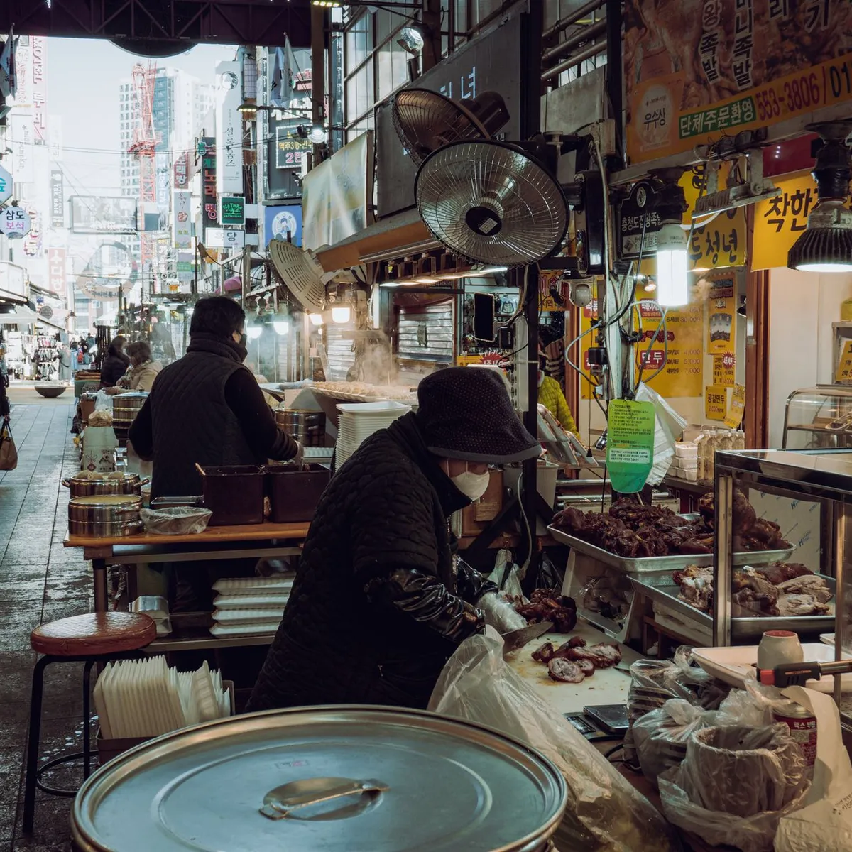
 Photo: Yena Kwon / Pexels
Anyang-si
Anyang-si accessibility for wheelchair users
Compare Anyang-si by accessibility, transport, terrain, healthcare, cost, weather, laws, reviews, and community notes.
Anyang-si accessibility scores
Compare Anyang-si by accessibility, transport, terrain, healthcare, cost, weather, and laws. General stats use public data and models. Community rows reflect member reviews and votes.
General stats
National benchmarks and estimates — your experience in this city may differ.
Community
Starts from our estimate — thumbs up nudge toward Excellent, down toward Poor. Reviews use 1–5 stars.
These figures combine public statistics, models, and live weather where available. Every city is different — treat this as a guide, and share what you know in the Reviews & Corrections tab.
Profile last updated 6/30/2026.
Anyang-si wheelchair accessibility guide
Research Anyang-si for wheelchair users and caregivers: getting around, terrain, healthcare, costs, climate, accessible things to do, and practical caveats before booking.
Last updated 6/30/2026At a glance
Anyang-si sits in the Seoul metro orbit, which gives it stronger infrastructure and transport options than many similarly sized cities. It is not a simple flat-grid destination: the RollVenture terrain profile labels the sampled area very hilly, with a 9.6% maximum sampled grade, while pavement confidence is low and many surfaces are untagged. Budget from ~$2,675/mo, including housing from ~$1,072/mo.
Getting around
Anyang is most practical when used as a suburban Seoul-area base with rail, metro, bus, and taxis combined. The DB wheelchair-transport score is high, but elevators, station exits, and transfer distances should be checked for the specific line and stop. Avoid planning tight cross-region transfers; Seoul-area stations can be large, crowded, and tiring even when step-free routes exist.
Terrain & mobility
Expect sharp local differences. Commercial zones around stations are more manageable, while parks and hillside neighborhoods can become steep quickly. The pavement record has low confidence, so do not assume smooth sidewalks outside main corridors. A route that looks short on a map may involve a difficult slope, an underpass, or a station exit without the easiest lift path.
Healthcare & care
OpenStreetMap healthcare leads include 모심요양병원 and 대항병원 roughly 10.7 km from the city centre, with other hospitals in the broader Seoul region. Verify department, ramp/elevator access, appointment process, and language support before relying on any listed facility. For recurring care, Seoul’s larger hospital network is an advantage, but travel time and transfer fatigue matter.
Costs & housing
Costs are below central Seoul, but accessible apartments can still be competitive. Prioritize newer elevator buildings near a confirmed station exit, then request photos of the bathroom threshold, wet-room slope, entrance lip, intercom height, and parking/drop-off route. Do not rely on “near station” alone; the wrong side of a station can add a hard grade.
Climate & comfort
Summers are humid and winters can be cold, icy, and windy. The hills make weather more important: wet pavement and winter freeze can change a manageable route into a risky one. Build rest days into Seoul-area sightseeing.
Accessible things to do
Anyang Art Park— a major local art-and-nature district. Treat it as partially accessible rather than uniformly step-free; choose lower paths and verify accessible restroom and slope details.
Anyangcheon stream paths— likely the best everyday rolling option when accessed from a suitable ramp, with flatter riverside sections than hillside parks.
Pyeongchon Central Park— a practical neighborhood green-space anchor for short, low-cost outings; confirm restroom and curb-cut details locally.
Anyang Museum / local cultural stops— useful indoor alternatives in poor weather, but confirm elevator and entrance details before setting the day’s plan.
Community & language
Korean will be needed for housing, care, and some transport assistance. The benefit is proximity to Seoul’s broader international community and services without paying central Seoul prices. Keep screenshots of addresses and access requests in Korean.
Would we recommend it?
Yes as a Seoul-region base for someone comfortable with planning. Anyang’s infrastructure potential is good, but the hills and uncertain surface data mean it is not a low-effort wheelchair destination.
These figures combine public statistics, models, and live weather where available. Every city is different — treat this as a guide, and share what you know in the Reviews & Corrections tab.
Profile last updated 6/30/2026.